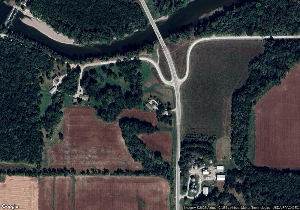
19621 Highway 188 Clarksville, IA 50619
Estimated Value: $312,000 - $409,000
2
Beds
2
Baths
1,448
Sq Ft
$252/Sq Ft
Est. Value
About This Home
This home is located at 19621 Highway 188, Clarksville, IA 50619 and is currently estimated at $364,820, approximately $251 per square foot. 19621 Highway 188 is a home located in Butler County with nearby schools including Clarksville Elementary School and Clarksville High School.
Ownership History
Date
Name
Owned For
Owner Type
Purchase Details
Closed on
Oct 28, 2022
Sold by
Kielman Kendall and Kielman Karen
Bought by
Marzen Properties I Llc
Current Estimated Value
Purchase Details
Closed on
Jun 10, 2021
Sold by
Espr017116 Scott Wayne Drake Estate
Bought by
Kielman Kendall and Kielman Karen
Purchase Details
Closed on
Jul 3, 2012
Sold by
Iowa State Bank
Bought by
Kielman Karen and Kielman Kendall
Create a Home Valuation Report for This Property
The Home Valuation Report is an in-depth analysis detailing your home's value as well as a comparison with similar homes in the area
Home Values in the Area
Average Home Value in this Area
Purchase History
| Date | Buyer | Sale Price | Title Company |
|---|---|---|---|
| Marzen Properties I Llc | $65,000 | -- | |
| Kielman Kendall | $15,000 | None Available | |
| Kielman Karen | $45,000 | None Available |
Source: Public Records
Tax History Compared to Growth
Tax History
| Year | Tax Paid | Tax Assessment Tax Assessment Total Assessment is a certain percentage of the fair market value that is determined by local assessors to be the total taxable value of land and additions on the property. | Land | Improvement |
|---|---|---|---|---|
| 2024 | $4,208 | $339,820 | $43,600 | $296,220 |
| 2023 | $3,706 | $339,820 | $43,600 | $296,220 |
| 2022 | $3,624 | $282,800 | $43,600 | $239,200 |
| 2021 | $3,518 | $282,800 | $43,600 | $239,200 |
| 2020 | $3,518 | $259,110 | $43,600 | $215,510 |
| 2019 | $3,282 | $241,400 | $43,600 | $215,510 |
| 2018 | $3,234 | $241,400 | $0 | $0 |
| 2017 | $3,234 | $223,020 | $0 | $0 |
| 2016 | $3,058 | $223,020 | $0 | $0 |
| 2015 | $3,058 | $220,500 | $0 | $0 |
| 2014 | $3,006 | $27,340 | $0 | $0 |
Source: Public Records
Map
Nearby Homes
- 20394 Spring Ave
- 210 S Mather St
- 408 W Weare St
- 220 W Greene St
- 526 W Weare St
- 21109 Woodridge Ln
- 21165 Woodbridge Ln
- 21269 Woodridge Ln
- 21273 Woodbridge Ln
- 506 W South St
- 0000 150th St
- Tbd Raven Rd
- TBD Raven Rd
- 21164 Woodridge Ln
- 21161 Woodridge Ln
- 21250 Woodridge Ln
- 21146 Woodridge Ln
- 1125 Lozmar Ln
- 1130 Lozmar Ln
- 214 Elliot Ave
- 19782 Highway 188
- 28366 195th St
- 28342 195th St
- 19943 Highway 188
- 28555 200th St
- 28457 200th St
- 28395 200th St
- 29085 Timber Rd
- 20081 Spring Ave
- 319 E Mill St
- 28895 205th St
- 20298 Highway 188
- 1203 S Main St
- 1203 S Main St
- 112 E Oakland St
- 401 E Oakland St
- 108 E Oakland St
- 20378 Highway 188
- 20378 Highway 188
- 303 E Oakland St
