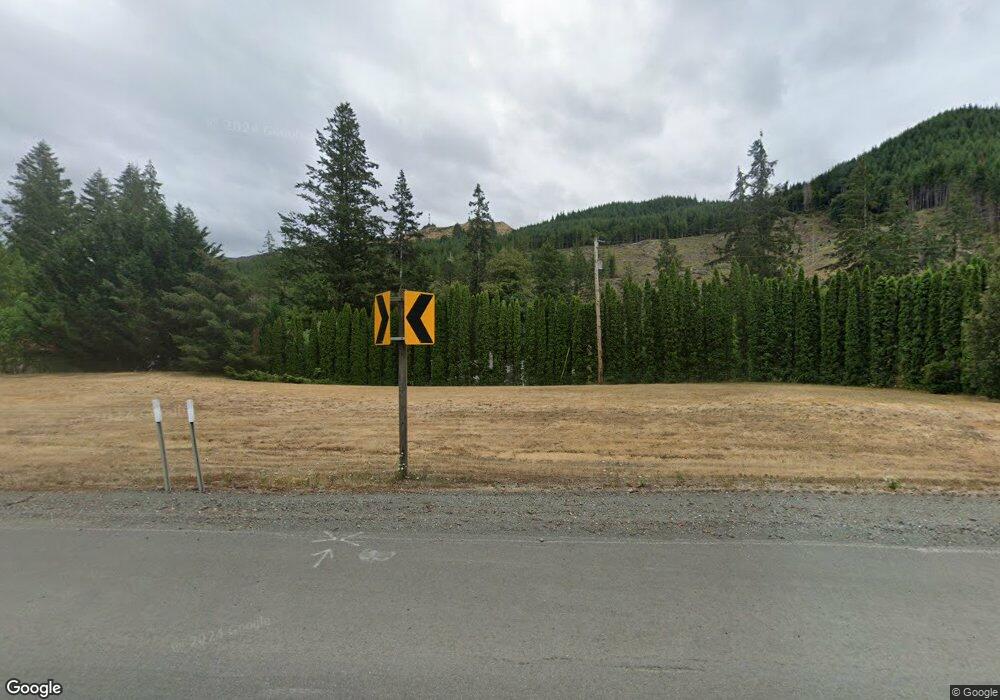
19626 Highway 42 Myrtle Point, OR 97458
Estimated Value: $648,328 - $669,000
3
Beds
3
Baths
1,872
Sq Ft
$352/Sq Ft
Est. Value
About This Home
This home is located at 19626 Highway 42, Myrtle Point, OR 97458 and is currently estimated at $658,664, approximately $351 per square foot. 19626 Highway 42 is a home located in Coos County with nearby schools including Myrtle Crest School and Myrtle Point High School.
Ownership History
Date
Name
Owned For
Owner Type
Purchase Details
Closed on
Nov 21, 2022
Sold by
Groeschel Ellen D
Bought by
Richard J Ashmore And Ellen D Groeschel 2022
Current Estimated Value
Purchase Details
Closed on
May 26, 2021
Sold by
Perry Barbara J
Bought by
Groeschel Lloyd A and Groeschel Ellen D
Purchase Details
Closed on
Jul 23, 2004
Sold by
Walding Grant L and Walding Nataly B
Bought by
Perry Mark A
Home Financials for this Owner
Home Financials are based on the most recent Mortgage that was taken out on this home.
Original Mortgage
$41,250
Interest Rate
6.27%
Mortgage Type
Purchase Money Mortgage
Create a Home Valuation Report for This Property
The Home Valuation Report is an in-depth analysis detailing your home's value as well as a comparison with similar homes in the area
Home Values in the Area
Average Home Value in this Area
Purchase History
| Date | Buyer | Sale Price | Title Company |
|---|---|---|---|
| Richard J Ashmore And Ellen D Groeschel 2022 | -- | -- | |
| Groeschel Lloyd A | $636,500 | Ticor Title Company Of Or | |
| Perry Mark A | $55,000 | Ticor Title Insurance |
Source: Public Records
Mortgage History
| Date | Status | Borrower | Loan Amount |
|---|---|---|---|
| Previous Owner | Perry Mark A | $41,250 |
Source: Public Records
Tax History Compared to Growth
Tax History
| Year | Tax Paid | Tax Assessment Tax Assessment Total Assessment is a certain percentage of the fair market value that is determined by local assessors to be the total taxable value of land and additions on the property. | Land | Improvement |
|---|---|---|---|---|
| 2025 | $2,725 | $285,100 | -- | -- |
| 2024 | $2,695 | $276,800 | -- | -- |
| 2023 | $2,540 | $268,740 | $0 | $0 |
| 2022 | $2,527 | $260,920 | $0 | $0 |
| 2021 | $2,471 | $253,330 | $0 | $0 |
| 2020 | $2,406 | $253,330 | $0 | $0 |
| 2019 | $2,278 | $238,800 | $0 | $0 |
| 2018 | $2,219 | $231,850 | $0 | $0 |
| 2017 | $2,169 | $225,100 | $0 | $0 |
| 2016 | $2,110 | $218,550 | $0 | $0 |
| 2015 | $162 | $212,190 | $0 | $0 |
| 2014 | $162 | $207,650 | $0 | $0 |
Source: Public Records
Map
Nearby Homes
- 20191 Highway 42
- 98470 Carla Ln
- 51320 Myrtle Creek Rd
- 51256 Salmon Gulch Rd
- 53856 Big Creek Rd
- 15779 Oregon 42
- 53621 Weekly Creek Rd
- 46255 Highway 242
- 98785 Sitkum Ln
- 1753 20th St
- 1715 20th St
- 1938 Maryland Ave
- 1985 Roseburg Rd
- 1893 Sunset Ln
- 1861 View St
- 1783 View St
- 2047 Roseburg Rd
- 1873 E Cedar St
- 1829 E Willow St
- 1434 Maryland Ave
- 19626 Oregon 42
- 19730 Highway 42
- 20028 Cribbins Ln
- 20030 Highway 42
- 20030 Cribbins Ln
- 20041 Cribbins Ln
- 19316 Hwy 42
- 19315 Highway 42 Unit 7
- 19315 Hwy 42 Unit 6
- 19315 Hwy 42 Unit SP 7
- 19316 Highway 42
- 98711 Weeping Willow Ln
- 98712 Weeping Willow Ln
- 19295 Hwy 42
- 98679 Weeping Willow Ln
- 20124 Highway 42
- 19118 Highway 42
- 19088 Highway 42
- 19088 Highway 42
- 20192 Highway 42
