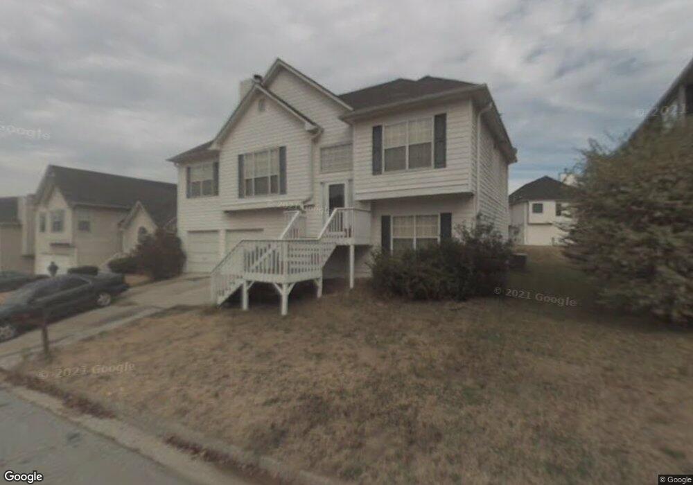
1964 Boulder Ridge Pkwy Ellenwood, GA 30294
Southwest DeKalb NeighborhoodEstimated Value: $270,000 - $291,000
4
Beds
3
Baths
2,103
Sq Ft
$131/Sq Ft
Est. Value
About This Home
This home is located at 1964 Boulder Ridge Pkwy, Ellenwood, GA 30294 and is currently estimated at $276,398, approximately $131 per square foot. 1964 Boulder Ridge Pkwy is a home located in DeKalb County with nearby schools including Cedar Grove Elementary School, Cedar Grove Middle School, and Cedar Grove High School.
Ownership History
Date
Name
Owned For
Owner Type
Purchase Details
Closed on
May 26, 2004
Sold by
Clinton Napoleon
Bought by
English Michael
Current Estimated Value
Home Financials for this Owner
Home Financials are based on the most recent Mortgage that was taken out on this home.
Original Mortgage
$140,383
Outstanding Balance
$67,574
Interest Rate
5.88%
Mortgage Type
New Conventional
Estimated Equity
$208,824
Purchase Details
Closed on
Sep 29, 1995
Sold by
Rivercrest Assoc Inc
Bought by
Clinton Napoleon
Create a Home Valuation Report for This Property
The Home Valuation Report is an in-depth analysis detailing your home's value as well as a comparison with similar homes in the area
Home Values in the Area
Average Home Value in this Area
Purchase History
| Date | Buyer | Sale Price | Title Company |
|---|---|---|---|
| English Michael | $143,000 | -- | |
| Clinton Napoleon | $104,900 | -- |
Source: Public Records
Mortgage History
| Date | Status | Borrower | Loan Amount |
|---|---|---|---|
| Open | English Michael | $140,383 | |
| Closed | Clinton Napoleon | $0 |
Source: Public Records
Tax History Compared to Growth
Tax History
| Year | Tax Paid | Tax Assessment Tax Assessment Total Assessment is a certain percentage of the fair market value that is determined by local assessors to be the total taxable value of land and additions on the property. | Land | Improvement |
|---|---|---|---|---|
| 2025 | $3,166 | $110,640 | $14,000 | $96,640 |
| 2024 | $3,088 | $103,640 | $14,000 | $89,640 |
| 2023 | $3,088 | $100,560 | $14,000 | $86,560 |
| 2022 | $2,747 | $91,640 | $14,000 | $77,640 |
| 2021 | $2,224 | $68,960 | $8,000 | $60,960 |
| 2020 | $2,242 | $69,560 | $8,000 | $61,560 |
| 2019 | $2,174 | $67,520 | $8,000 | $59,520 |
| 2018 | $1,585 | $50,040 | $4,000 | $46,040 |
| 2017 | $1,546 | $45,400 | $4,000 | $41,400 |
| 2016 | $1,451 | $43,720 | $4,000 | $39,720 |
| 2014 | $1,282 | $38,880 | $4,000 | $34,880 |
Source: Public Records
Map
Nearby Homes
- 4.2 + -Acres River Rd
- 3444 Sugar Creek Cove Unit 16
- 2987 Bouldercrest Rd
- 2103 River Rd
- 3664 Satellite Terrace
- 3871 Martin Dr
- 1993 Whitehall Forest Ct SE
- 1997 Whitehall Forest Ct SE
- 1974 Boulder Gate Dr
- 2131 Brentwood Cove
- 1847 Whitehall Forest Ct SE
- 3541 Santa Leta Dr
- 3287 River Ln SE
- 3932 Misty Lake
- 3812 Misty Lake
- 2324 Carrington Dr
- 2385 River Rd
- 3283 Sugar Creek Falls Ave SE
- 1960 Boulder Ridge Pkwy
- 1970 Boulder Ridge Pkwy
- 3603 Boulder Cir
- 0 Boulder Ridge Pkwy
- 1952 Boulder Ridge Pkwy
- 3599 Boulder Cir
- 3600 Boulder Ridge Terrace
- 1961 Boulder Ridge Pkwy
- 1965 Boulder Ridge Pkwy
- 0 Boulder Cir Unit 8655096
- 0 Boulder Cir Unit 8132502
- 0 Boulder Cir Unit 8039314
- 0 Boulder Cir Unit 7592715
- 0 Boulder Cir Unit 8555107
- 0 Boulder Cir Unit 8442542
- 0 Boulder Cir Unit 8449572
- 0 Boulder Cir Unit 8434261
- 0 Boulder Cir Unit 7178899
- 0 Boulder Cir Unit 8776356
- 0 Boulder Cir Unit 7175154