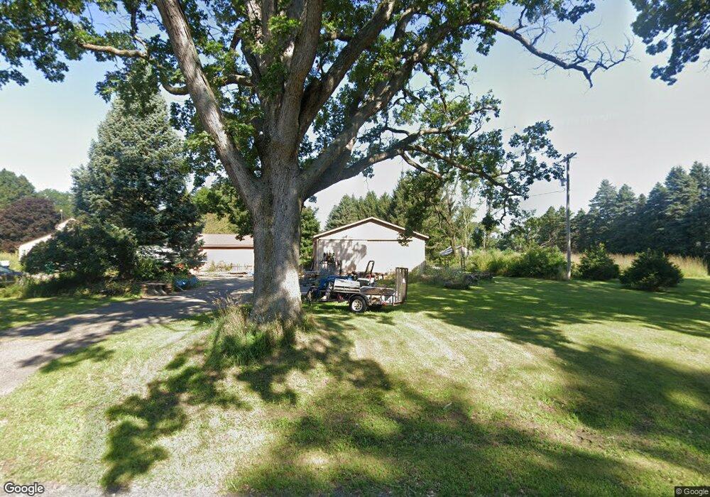
19645 Homer Rd Marshall, MI 49068
Estimated Value: $243,000 - $294,000
3
Beds
2
Baths
1,536
Sq Ft
$178/Sq Ft
Est. Value
About This Home
This home is located at 19645 Homer Rd, Marshall, MI 49068 and is currently estimated at $273,156, approximately $177 per square foot. 19645 Homer Rd is a home located in Calhoun County with nearby schools including Harrington Elementary School, Marshall High School, and Marshall Academy.
Ownership History
Date
Name
Owned For
Owner Type
Purchase Details
Closed on
Oct 21, 2020
Sold by
Tolentino Phillip R and Hulbert Karen A
Bought by
Binkowski David and Binkowski Nancy
Current Estimated Value
Home Financials for this Owner
Home Financials are based on the most recent Mortgage that was taken out on this home.
Original Mortgage
$120,000
Outstanding Balance
$106,539
Interest Rate
2.8%
Mortgage Type
New Conventional
Estimated Equity
$166,617
Purchase Details
Closed on
Sep 8, 2000
Sold by
Kirchner James M and Kirchner Judith A
Bought by
Tolentino Phillip and Karen Hulbert
Create a Home Valuation Report for This Property
The Home Valuation Report is an in-depth analysis detailing your home's value as well as a comparison with similar homes in the area
Home Values in the Area
Average Home Value in this Area
Purchase History
| Date | Buyer | Sale Price | Title Company |
|---|---|---|---|
| Binkowski David | $153,000 | None Available | |
| Tolentino Phillip | $180,000 | -- |
Source: Public Records
Mortgage History
| Date | Status | Borrower | Loan Amount |
|---|---|---|---|
| Open | Binkowski David | $120,000 |
Source: Public Records
Tax History
| Year | Tax Paid | Tax Assessment Tax Assessment Total Assessment is a certain percentage of the fair market value that is determined by local assessors to be the total taxable value of land and additions on the property. | Land | Improvement |
|---|---|---|---|---|
| 2025 | $3,148 | $123,610 | $0 | $0 |
| 2024 | $1,097 | $133,140 | $0 | $0 |
| 2023 | -- | $119,040 | $0 | $0 |
| 2022 | $995 | $104,830 | $0 | $0 |
| 2021 | $3,672 | $83,870 | $0 | $0 |
| 2020 | $3,672 | $100,940 | $0 | $0 |
| 2019 | $0 | $96,590 | $0 | $0 |
| 2018 | $0 | $83,810 | $21,130 | $62,680 |
| 2017 | $0 | $74,460 | $0 | $0 |
| 2016 | $0 | $76,910 | $0 | $0 |
| 2015 | -- | $69,010 | $19,237 | $49,773 |
| 2014 | -- | $66,600 | $19,237 | $47,363 |
Source: Public Records
Map
Nearby Homes
- 19250 Homer Rd
- 10505 18 1 2 Mile Rd
- 18493 Homer Rd
- 0 Homer Rd
- 9130 17 Mile Rd
- 1043 Rose St
- 13976 20 Mile Rd
- 1050 Rebecca St Unit 18
- 741 Montgomery St
- 1027 Rebecca St Unit 14
- 133 W Hughes St
- 1060 S Kalamazoo Ave
- 1048 S Kalamazoo Ave
- 901 S Kalamazoo Ave
- 832 E Michigan Ave
- 215 S Liberty St
- 620 E Green St
- 1025 Rebecca St Unit 15
- 1029 Rebecca St Unit 13
- 1048 Rebecca St Unit 19
- 19651 Homer Rd
- 19553 Homer Rd
- 19501 B Dr S
- 19683 Homer Rd
- 19543 Homer Rd
- 19539 Homer Rd
- 20105 19 1 2 Mile Rd
- 19910 19 1 2 Mile Rd
- 21079 19 1 2 Mile Rd
- 19880 B Dr S
- 19527 Homer Rd
- 19755 D Dr S
- 19535 Homer Rd
- 19529 Homer Rd
- 10550 19 1/2 Mile Rd
- 19503 Homer Rd
- 19801 D Dr S
- 19890 B Dr S
- 19521 Homer Rd
- 19497 Homer Rd
Your Personal Tour Guide
Ask me questions while you tour the home.