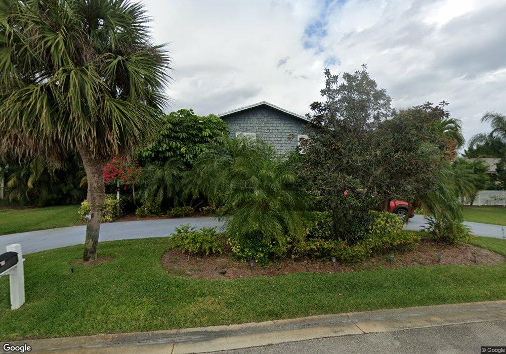
1965 Lenmore Rd West Palm Beach, FL 33410
Admiral's Cove NeighborhoodEstimated Value: $1,397,250 - $2,180,000
--
Bed
3
Baths
2,320
Sq Ft
$747/Sq Ft
Est. Value
About This Home
This home is located at 1965 Lenmore Rd, West Palm Beach, FL 33410 and is currently estimated at $1,732,313, approximately $746 per square foot. 1965 Lenmore Rd is a home located in Palm Beach County with nearby schools including Lighthouse Elementary School, Beacon Cove Intermediate School, and Jupiter Middle School.
Ownership History
Date
Name
Owned For
Owner Type
Purchase Details
Closed on
Oct 1, 2013
Sold by
Newton Lawrence V and Newton Linda T
Bought by
Newton Lawrence Virgil and Newton Linda T
Current Estimated Value
Create a Home Valuation Report for This Property
The Home Valuation Report is an in-depth analysis detailing your home's value as well as a comparison with similar homes in the area
Home Values in the Area
Average Home Value in this Area
Purchase History
| Date | Buyer | Sale Price | Title Company |
|---|---|---|---|
| Newton Lawrence Virgil | -- | Attorney |
Source: Public Records
Tax History Compared to Growth
Tax History
| Year | Tax Paid | Tax Assessment Tax Assessment Total Assessment is a certain percentage of the fair market value that is determined by local assessors to be the total taxable value of land and additions on the property. | Land | Improvement |
|---|---|---|---|---|
| 2024 | $3,251 | $214,277 | -- | -- |
| 2023 | $3,154 | $208,036 | $0 | $0 |
| 2022 | $3,192 | $201,977 | $0 | $0 |
| 2021 | $3,144 | $196,094 | $0 | $0 |
| 2020 | $3,112 | $193,387 | $0 | $0 |
| 2019 | $3,072 | $189,039 | $0 | $0 |
| 2018 | $2,809 | $185,514 | $0 | $0 |
| 2017 | $2,742 | $181,698 | $0 | $0 |
| 2016 | $2,742 | $177,961 | $0 | $0 |
| 2015 | $2,804 | $176,724 | $0 | $0 |
| 2014 | $2,808 | $175,321 | $0 | $0 |
Source: Public Records
Map
Nearby Homes
- 2940 Marys Way
- 2929 Marys Way
- 467 Mariner Dr
- 177 Commodore Dr
- 209 Commodore Dr
- 438 River Edge Rd
- 2428 24th Ct
- 270 E River Park Dr
- 3061 30th Ct
- 3225 32nd Ct
- 3073 30th Ct
- 156 Ocean Pines Terrace
- 14860 Palmwood Rd
- 1701 Marina Isle Way Unit 4040
- 14844 Palmwood Rd
- 193 Spyglass Ct
- 3038 30th Ct
- 1901 Marina Isle Way Unit 3050
- 1901 Marina Isle Way Unit 3020
- 1501 Marina Isle Way Unit 305
- 1941 Lenmore Rd
- 1991 Lenmore Rd
- 1944 Lenmore Rd
- 15380 Palmwood Rd
- 2939 Marys Way
- 1926 Lenmore Rd
- 494 Mariner Dr
- 473 Mariner Dr
- 488 Mariner Dr
- 492 Mariner Dr
- 490 Mariner Dr
- 471 Mariner Dr
- 2920 Marys Way
- 486 Mariner Dr
- 2930 Marys Way
- 484 Mariner Dr
- 482 Mariner Dr
- 15300 Palmwood Rd
- 476 Mariner Dr
- 480 Mariner Dr