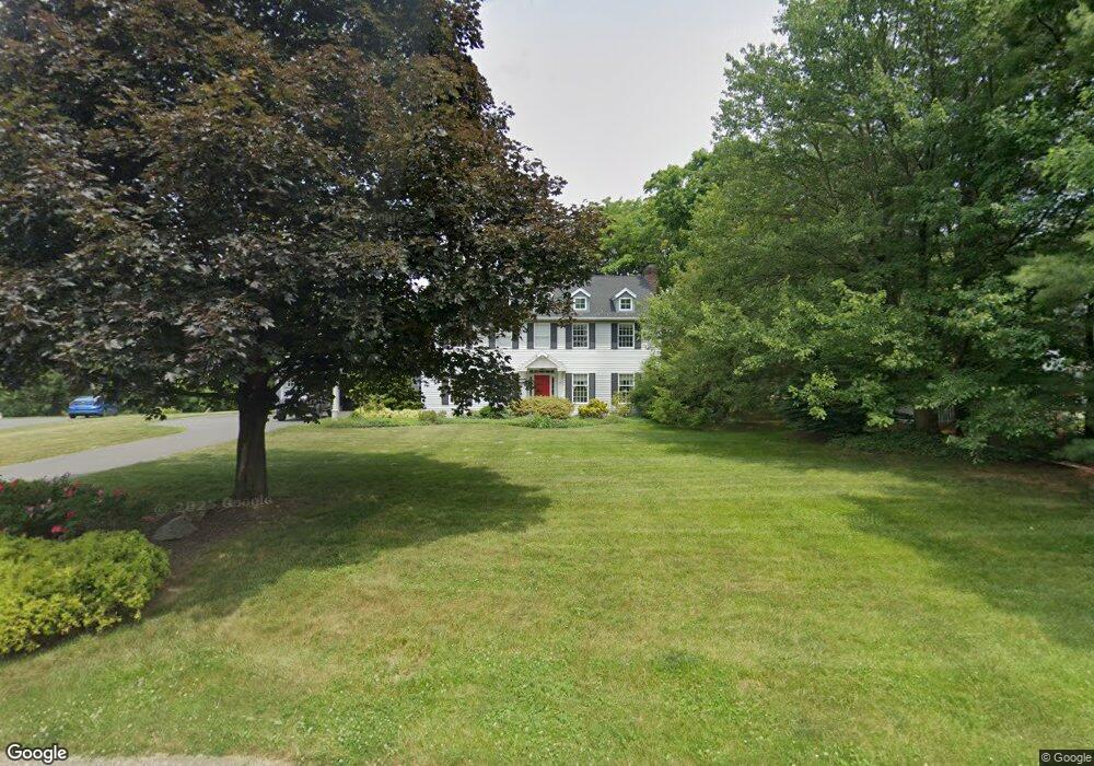
1965 Maplewood Ln Allentown, PA 18103
Lower Macungie Township East NeighborhoodEstimated Value: $530,527 - $653,000
4
Beds
3
Baths
2,626
Sq Ft
$226/Sq Ft
Est. Value
About This Home
This home is located at 1965 Maplewood Ln, Allentown, PA 18103 and is currently estimated at $593,632, approximately $226 per square foot. 1965 Maplewood Ln is a home located in Lehigh County with nearby schools including Wescosville Elementary School, Lower Macungie Middle School, and Emmaus High School.
Ownership History
Date
Name
Owned For
Owner Type
Purchase Details
Closed on
Apr 9, 2001
Sold by
Thurber Scott W and Thurber Terry A
Bought by
Ivankovits John C and Obrien Amy C
Current Estimated Value
Purchase Details
Closed on
Oct 9, 1986
Bought by
Thurber Scott W and Terry Ann
Purchase Details
Closed on
Sep 27, 1983
Bought by
Canouse John J and Howard Bruce J
Create a Home Valuation Report for This Property
The Home Valuation Report is an in-depth analysis detailing your home's value as well as a comparison with similar homes in the area
Home Values in the Area
Average Home Value in this Area
Purchase History
| Date | Buyer | Sale Price | Title Company |
|---|---|---|---|
| Ivankovits John C | $249,900 | -- | |
| Thurber Scott W | $41,900 | -- | |
| Canouse John J | $62,500 | -- |
Source: Public Records
Tax History Compared to Growth
Tax History
| Year | Tax Paid | Tax Assessment Tax Assessment Total Assessment is a certain percentage of the fair market value that is determined by local assessors to be the total taxable value of land and additions on the property. | Land | Improvement |
|---|---|---|---|---|
| 2025 | $7,003 | $274,300 | $51,400 | $222,900 |
| 2024 | $6,775 | $274,300 | $51,400 | $222,900 |
| 2023 | $6,640 | $274,300 | $51,400 | $222,900 |
| 2022 | $6,483 | $274,300 | $222,900 | $51,400 |
| 2021 | $6,345 | $274,300 | $51,400 | $222,900 |
| 2020 | $6,284 | $274,300 | $51,400 | $222,900 |
| 2019 | $6,177 | $274,300 | $51,400 | $222,900 |
| 2018 | $6,096 | $274,300 | $51,400 | $222,900 |
| 2017 | $5,990 | $274,300 | $51,400 | $222,900 |
| 2016 | -- | $274,300 | $51,400 | $222,900 |
| 2015 | -- | $274,300 | $51,400 | $222,900 |
| 2014 | -- | $274,300 | $51,400 | $222,900 |
Source: Public Records
Map
Nearby Homes
- 2117 Isabel Ln
- 2153 Isabel Ln
- 2096 Gregory Dr
- Henley Plan at Mountainview Estates
- Penny Plan at Mountainview Estates
- 2041 Gregory Dr
- 2300 S Cedar Crest Blvd
- 4762 Steeplechase Dr Unit 13C
- 2518 Stanford Cir
- 2570 Millbrook Dr
- 2560 Gracie Lone
- 1270 Minesite Rd
- 2834 Sheffield Dr
- 5175 Meadowview Dr
- 5133 Meadow Ln
- 4881 Spruce Rd
- 2980 Sheffield Dr
- 1045 Barnside Rd
- 1141 Glick Ave
- 1675 Hamlet Dr
- 1951 Maplewood Ln
- 1989 Maplewood Ln
- 2000 Riverbend Rd
- 1960 Maplewood Ln
- 1990 Maplewood Ln
- 1937 Maplewood Ln
- 1960 Riverbend Rd
- 2011 Maplewood Ln
- 2040 Riverbend Rd
- 1946 Riverbend Rd
- 1957 Maplewood Cir
- 1940 Riverbend Rd
- 2010 Maplewood Ln
- 1925 Maplewood Ln
- 1930 Riverbend Rd
- 4269 Rosewood Ln
- 1958 Maplewood Cir
- 1942 Riverbend Rd
- 1991 Riverbend Rd
- 4230 Rosewood Ln