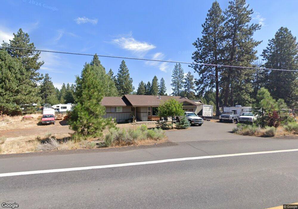
19650 Baker Rd Bend, OR 97702
Deschutes River Woods NeighborhoodEstimated Value: $567,000 - $600,000
3
Beds
2
Baths
1,556
Sq Ft
$371/Sq Ft
Est. Value
About This Home
This home is located at 19650 Baker Rd, Bend, OR 97702 and is currently estimated at $577,201, approximately $370 per square foot. 19650 Baker Rd is a home located in Deschutes County with nearby schools including Elk Meadow Elementary School, Cascade Middle School, and Summit High School.
Ownership History
Date
Name
Owned For
Owner Type
Purchase Details
Closed on
Mar 21, 2019
Sold by
Osborn Shaeli D
Bought by
Osborn Clinton B
Current Estimated Value
Home Financials for this Owner
Home Financials are based on the most recent Mortgage that was taken out on this home.
Original Mortgage
$247,500
Outstanding Balance
$216,705
Interest Rate
4.3%
Mortgage Type
New Conventional
Estimated Equity
$360,496
Purchase Details
Closed on
Nov 25, 2008
Sold by
Defoe Donald R
Bought by
Osborn Clinton B and Osborn Shaeli D
Home Financials for this Owner
Home Financials are based on the most recent Mortgage that was taken out on this home.
Original Mortgage
$197,800
Interest Rate
6.37%
Mortgage Type
Unknown
Purchase Details
Closed on
Feb 15, 2006
Sold by
Defoe Don
Bought by
Defoe Donald R
Purchase Details
Closed on
Jul 13, 2005
Sold by
Vincent Barry L and Vincent Tina
Bought by
Wetterhorn Peak Development Llc
Create a Home Valuation Report for This Property
The Home Valuation Report is an in-depth analysis detailing your home's value as well as a comparison with similar homes in the area
Home Values in the Area
Average Home Value in this Area
Purchase History
| Date | Buyer | Sale Price | Title Company |
|---|---|---|---|
| Osborn Clinton B | -- | First American Title | |
| Osborn Clinton B | $194,000 | Amerititle | |
| Defoe Donald R | -- | Western Title & Escrow Co | |
| Wetterhorn Peak Development Llc | $97,000 | First Amer Title Ins Co Or |
Source: Public Records
Mortgage History
| Date | Status | Borrower | Loan Amount |
|---|---|---|---|
| Open | Osborn Clinton B | $247,500 | |
| Closed | Osborn Clinton B | $197,800 |
Source: Public Records
Tax History
| Year | Tax Paid | Tax Assessment Tax Assessment Total Assessment is a certain percentage of the fair market value that is determined by local assessors to be the total taxable value of land and additions on the property. | Land | Improvement |
|---|---|---|---|---|
| 2025 | $2,667 | $173,600 | -- | -- |
| 2024 | $2,554 | $168,550 | -- | -- |
| 2023 | $2,408 | $163,650 | $0 | $0 |
| 2022 | $2,223 | $154,270 | $0 | $0 |
| 2021 | $2,239 | $149,780 | $0 | $0 |
| 2020 | $2,117 | $149,780 | $0 | $0 |
| 2019 | $2,060 | $145,420 | $0 | $0 |
| 2018 | $2,001 | $141,190 | $0 | $0 |
| 2017 | $1,997 | $140,490 | $0 | $0 |
| 2016 | $1,901 | $136,400 | $0 | $0 |
Source: Public Records
Map
Nearby Homes
- 60463 Umatilla Cir
- 60340 Hiawatha Ln
- 60343 Hiawatha Ln
- 19723 Buck Canyon Rd
- 19373 Indian Summer Rd
- 19850 Rocking Horse Rd
- 19734 Buck Canyon Rd
- 60829 Yellow Leaf St
- 19815 Nugget Ave
- 60083 Navajo Rd
- 60813 Scotts Bluff Place
- 19218 Shoshone Rd
- 60287 Evening Star Ln
- 60798 Goldenwood Loop
- 19557 Sager Loop
- 19556 Sager Loop
- 60890 Alpine Dr
- 19555 Greatwood Loop
- 60291 Addie Triplett Loop
- 19276 Kiowa Rd
- 60450 Iroquois Cir
- 19660 Apache Rd
- 19654 Baker Rd
- 19691 Manzanita Ln
- 19654 Apache Rd
- 19660 Baker Rd
- 60466 Iroquois Cir
- 60451 Iroquois Cir
- 19645 Baker
- 19668 Baker Rd
- 60455 Iroquois Cir
- 60474 Iroquois Cir
- 19644 Apache Rd
- 60465 Iroquois Cir
- 19672 Baker Rd
- 19611 Baker Rd
- 60475 Iroquois Cir
- 19685 Baker Rd
- 19699 Manzanita Ln
- 19692 Baker Rd