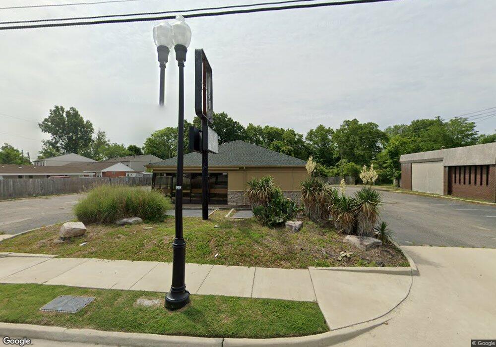
1966 E Pembroke Ave Hampton, VA 23663
Buckroe Beach NeighborhoodEstimated Value: $491,270
Studio
--
Bath
2,380
Sq Ft
$206/Sq Ft
Est. Value
About This Home
This home is located at 1966 E Pembroke Ave, Hampton, VA 23663 and is currently estimated at $491,270, approximately $206 per square foot. 1966 E Pembroke Ave is a home located in Hampton City with nearby schools including Capt. John Smith Elementary School, Benjamin Syms Middle School, and Phoebus High School.
Ownership History
Date
Name
Owned For
Owner Type
Purchase Details
Closed on
Jul 7, 2022
Sold by
Arc Cafeusa001 Llc
Bought by
Area 51 Inc
Current Estimated Value
Purchase Details
Closed on
Jul 31, 2013
Sold by
Ge Capital Franchise Fin Corp
Bought by
Arc Cafeusa001 Llc
Purchase Details
Closed on
Feb 26, 2007
Sold by
Colonial Foos Real Estate
Bought by
Ge Capital Franchise Finance C
Create a Home Valuation Report for This Property
The Home Valuation Report is an in-depth analysis detailing your home's value as well as a comparison with similar homes in the area
Home Values in the Area
Average Home Value in this Area
Purchase History
| Date | Buyer | Sale Price | Title Company |
|---|---|---|---|
| Area 51 Inc | $410,000 | First American Title | |
| Arc Cafeusa001 Llc | $1,086,956 | -- | |
| Ge Capital Franchise Finance C | $380,000 | -- |
Source: Public Records
Tax History
| Year | Tax Paid | Tax Assessment Tax Assessment Total Assessment is a certain percentage of the fair market value that is determined by local assessors to be the total taxable value of land and additions on the property. | Land | Improvement |
|---|---|---|---|---|
| 2025 | $5,797 | $390,000 | $134,000 | $256,000 |
| 2024 | $4,485 | $390,000 | $134,000 | $256,000 |
| 2023 | $4,524 | $390,000 | $134,000 | $256,000 |
| 2022 | $6,136 | $520,000 | $134,000 | $386,000 |
| 2021 | $7,618 | $520,000 | $134,000 | $386,000 |
| 2020 | $10,317 | $832,000 | $134,000 | $698,000 |
| 2019 | $8,820 | $711,300 | $134,000 | $577,300 |
| 2018 | $9,596 | $700,000 | $134,000 | $566,000 |
| 2017 | $9,526 | $0 | $0 | $0 |
| 2016 | $9,526 | $700,000 | $0 | $0 |
| 2015 | $9,526 | $0 | $0 | $0 |
| 2014 | $9,435 | $700,000 | $134,000 | $566,000 |
Source: Public Records
Map
Nearby Homes
- 1527 Grove St
- 604 Old Buckroe Rd
- 2013 Whitman Place
- 733 Burgess Ave
- 731 Burgess Ave
- 1928 Long Green Ln
- 2112 E Pembroke Ave
- 1915 Long Green Ln
- 714 Grove St
- 1909 Long Green Ln
- 532 Slater Ave
- 5B Mallory
- 1642 N Mallory St
- 1923 Rawood Dr
- 438 Shelton Rd
- 1926 Somerville Dr
- 9 Bayview Ct
- 706 Grimes Rd
- 17 Seaview Dr
- 6 Langille Ct
- 1968 E Pembroke Ave
- 1962 E Pembroke Ave
- 1958 E Pembroke Ave
- 1956 E Pembroke Ave
- 1413 Old Buckroe Rd Unit A06
- 1413 Old Buckroe Rd Unit A10
- 1413 Old Buckroe Rd
- 1407 Old Buckroe Rd
- 1375 Old Buckroe Rd
- 1970 E Pembroke Ave
- 1944 E Pembroke Ave
- 1405 Old Buckroe Rd
- 1985 E Pembroke Ave
- 1401 Old Buckroe Rd
- 1373 Old Buckroe Rd
- 1412 Old Buckroe Rd
- 1381 Old Buckroe Rd
- 1523 Grove St
- 1408 Old Buckroe Rd
- 1939 E Pembroke Ave
Your Personal Tour Guide
Ask me questions while you tour the home.