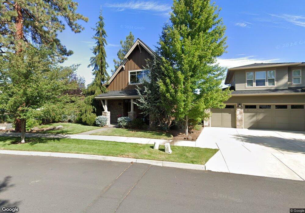
19668 Aspen Ridge Dr Bend, OR 97702
Southwest Bend NeighborhoodEstimated Value: $861,000 - $1,044,000
4
Beds
3
Baths
2,756
Sq Ft
$348/Sq Ft
Est. Value
About This Home
This home is located at 19668 Aspen Ridge Dr, Bend, OR 97702 and is currently estimated at $958,639, approximately $347 per square foot. 19668 Aspen Ridge Dr is a home located in Deschutes County with nearby schools including Pine Ridge Elementary School, Cascade Middle School, and Bend Senior High School.
Ownership History
Date
Name
Owned For
Owner Type
Purchase Details
Closed on
Jul 7, 2009
Sold by
Aspen Landing Llc
Bought by
Wise Michael T and Gardiner Laura E
Current Estimated Value
Home Financials for this Owner
Home Financials are based on the most recent Mortgage that was taken out on this home.
Original Mortgage
$308,000
Outstanding Balance
$202,224
Interest Rate
5.59%
Mortgage Type
Unknown
Estimated Equity
$756,415
Create a Home Valuation Report for This Property
The Home Valuation Report is an in-depth analysis detailing your home's value as well as a comparison with similar homes in the area
Home Values in the Area
Average Home Value in this Area
Purchase History
| Date | Buyer | Sale Price | Title Company |
|---|---|---|---|
| Wise Michael T | $385,000 | First American Title |
Source: Public Records
Mortgage History
| Date | Status | Borrower | Loan Amount |
|---|---|---|---|
| Open | Wise Michael T | $308,000 |
Source: Public Records
Tax History Compared to Growth
Tax History
| Year | Tax Paid | Tax Assessment Tax Assessment Total Assessment is a certain percentage of the fair market value that is determined by local assessors to be the total taxable value of land and additions on the property. | Land | Improvement |
|---|---|---|---|---|
| 2025 | $6,276 | $371,470 | -- | -- |
| 2024 | $6,039 | $360,660 | -- | -- |
| 2023 | $5,598 | $350,160 | $0 | $0 |
| 2022 | $5,223 | $330,070 | $0 | $0 |
| 2021 | $5,231 | $320,460 | $0 | $0 |
| 2020 | $4,962 | $320,460 | $0 | $0 |
| 2019 | $4,824 | $311,130 | $0 | $0 |
| 2018 | $4,688 | $302,070 | $0 | $0 |
| 2017 | $4,617 | $293,280 | $0 | $0 |
| 2016 | $4,406 | $284,740 | $0 | $0 |
| 2015 | $4,286 | $276,450 | $0 | $0 |
| 2014 | $4,161 | $268,400 | $0 | $0 |
Source: Public Records
Map
Nearby Homes
- 19694 Harvard Place
- 19601 Hollygrape St
- 61176 Foxglove Loop
- 19779 Hollygrape St
- 61062 Snowbrush Dr
- 61279 Gorge View St
- 61047 Honkers Ln
- 19788 Chicory Ave
- 19773 Astro Place
- 19793 Astro Place
- 61163 Chuckanut Dr
- 19545 Salmonberry Ct
- 61375 Huckleberry Place
- 19805 Wetland Ct
- 61363 Wild Rapids Dr
- 61040 S Queens Dr Unit 18
- 61040 S Queens Dr Unit 14
- 19580 SW Century Dr
- 19520 SW Century Dr
- 61176 Larkwood Dr
- 19674 Aspen Ridge Dr
- 61175 Princeton Loop
- 19661 Harvard Place
- 19676 Aspen Ridge Dr
- 19665 Harvard Place
- 61179 Princeton Loop
- 61187 Princeton Loop
- 61183 Princeton Loop
- 19680 Aspen Ridge Dr
- 61191 Princeton Loop
- 19673 Harvard Place
- 61171 Princeton Loop
- 19664 Aspen Ridge Dr
- 19639 SW Harvard Ct
- 19639 Harvard Place
- 19648 Aspen Ridge Dr
- 19664 Aspen Ridge Dr
- 61167 Princeton Loop
- 19640 SW Harvard Ct