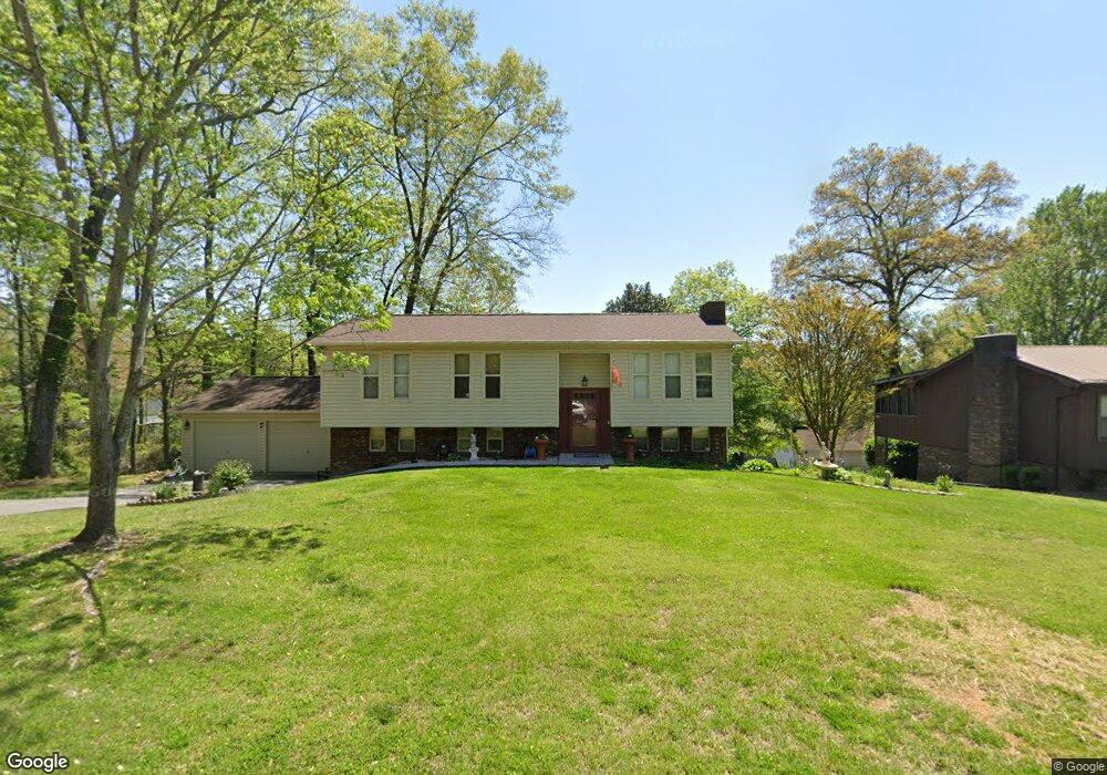
1967 Dove St Morristown, TN 37814
Estimated Value: $293,000 - $359,000
4
Beds
2
Baths
1,132
Sq Ft
$278/Sq Ft
Est. Value
About This Home
This home is located at 1967 Dove St, Morristown, TN 37814 and is currently estimated at $314,824, approximately $278 per square foot. 1967 Dove St is a home located in Hamblen County with nearby schools including Manley Elementary School, West View Middle School, and Morristown West High School.
Ownership History
Date
Name
Owned For
Owner Type
Purchase Details
Closed on
Apr 19, 2017
Sold by
Brown Tiffany S and Brown Thomas M
Bought by
Brown Tiffany S
Current Estimated Value
Purchase Details
Closed on
May 23, 2014
Sold by
Perry James Eugene
Bought by
Brown Tiffany S and Brown Thomas M
Home Financials for this Owner
Home Financials are based on the most recent Mortgage that was taken out on this home.
Original Mortgage
$125,510
Interest Rate
4.4%
Mortgage Type
New Conventional
Purchase Details
Closed on
Mar 1, 2001
Sold by
Himmelsbach Robert J
Bought by
Perry James Eugene
Purchase Details
Closed on
May 17, 1983
Bought by
Himmelsbach Robert J and Himmelsbach Judy K
Purchase Details
Closed on
Feb 22, 1983
Bought by
Robinson Fred O and Robinson Sarah M
Purchase Details
Closed on
May 24, 1980
Bought by
Pullen Beverly Kay
Purchase Details
Closed on
Apr 2, 1980
Bought by
Hopkins Earnest L and Hopkins Deloris A
Create a Home Valuation Report for This Property
The Home Valuation Report is an in-depth analysis detailing your home's value as well as a comparison with similar homes in the area
Home Values in the Area
Average Home Value in this Area
Purchase History
| Date | Buyer | Sale Price | Title Company |
|---|---|---|---|
| Brown Tiffany S | -- | -- | |
| Brown Tiffany S | -- | None Available | |
| Brown Tiffany S | $123,000 | -- | |
| Perry James Eugene | $97,000 | -- | |
| Himmelsbach Robert J | $49,900 | -- | |
| Robinson Fred O | $46,000 | -- | |
| Pullen Beverly Kay | $37,800 | -- | |
| Hopkins Earnest L | -- | -- |
Source: Public Records
Mortgage History
| Date | Status | Borrower | Loan Amount |
|---|---|---|---|
| Previous Owner | Brown Tiffany S | $125,510 |
Source: Public Records
Tax History Compared to Growth
Tax History
| Year | Tax Paid | Tax Assessment Tax Assessment Total Assessment is a certain percentage of the fair market value that is determined by local assessors to be the total taxable value of land and additions on the property. | Land | Improvement |
|---|---|---|---|---|
| 2024 | $672 | $34,100 | $6,025 | $28,075 |
| 2023 | $672 | $34,100 | $0 | $0 |
| 2022 | $672 | $34,100 | $6,025 | $28,075 |
| 2021 | $672 | $34,100 | $6,025 | $28,075 |
| 2020 | $672 | $34,100 | $6,025 | $28,075 |
| 2019 | $578 | $27,150 | $4,375 | $22,775 |
| 2018 | $578 | $27,150 | $4,375 | $22,775 |
| 2017 | $578 | $27,150 | $4,375 | $22,775 |
| 2016 | $540 | $27,150 | $4,375 | $22,775 |
| 2015 | $502 | $27,150 | $4,375 | $22,775 |
| 2014 | -- | $27,150 | $4,375 | $22,775 |
| 2013 | -- | $28,000 | $0 | $0 |
Source: Public Records
Map
Nearby Homes
- 1995 Bluebird Cir
- 1855 Joe Stephens Rd
- 1540 Kidwell Ridge Rd
- 1987 Joe Stephens Rd
- 1335 Joe Stephens Rd
- 1466 Dandelion Cir
- 1406 Dandelion Cir
- 3844 Isaac Ave
- 3245 Emerald Ave
- 3415 Emerald Ave
- 1701 Old Oak Ln
- 1465 Wind Crest Dr
- 3864 Apostle Rd
- 2992 Clear View Rd
- 1019 Ashley Ct
- 4193 Scarlett Dr
- 985 Kidwell Ridge Rd
- 1121 Hickory View Dr
- 837 Foxglove Ln
- 3641 Meadowland Dr
- 1971 Dove St
- 1960 Bluebird Cir
- 1954 Bluebird Cir
- 1966 Dove St
- 1975 Dove St
- 1966 Bluebird Cir
- 1948 Bluebird Cir
- 1970 Dove St
- 1962 Dove St
- 1972 Bluebird Cir Lot 21b
- 1972 Bluebird Cir
- 1974 Dove St
- 1981 Dove St
- 1942 Bluebird Cir
- 1969 Red Bird St
- 1951 Bluebird Cir
- 1959 Bluebird Cir
- 1978 Dove St
- 1973 Red Bird St
- 1978 Bluebird Cir Lot 22b