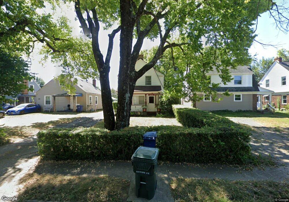
1967 Maryland Ave Columbus, OH 43219
Eastgate NeighborhoodEstimated Value: $228,000 - $275,000
3
Beds
1
Bath
1,292
Sq Ft
$190/Sq Ft
Est. Value
About This Home
This home is located at 1967 Maryland Ave, Columbus, OH 43219 and is currently estimated at $245,808, approximately $190 per square foot. 1967 Maryland Ave is a home located in Franklin County with nearby schools including Eastgate Elementary School, Champion Middle School, and East High School.
Ownership History
Date
Name
Owned For
Owner Type
Purchase Details
Closed on
Aug 28, 2000
Sold by
Cal Development Inc
Bought by
Walton David
Current Estimated Value
Home Financials for this Owner
Home Financials are based on the most recent Mortgage that was taken out on this home.
Original Mortgage
$68,000
Outstanding Balance
$33,456
Interest Rate
13.25%
Mortgage Type
Purchase Money Mortgage
Estimated Equity
$212,352
Purchase Details
Closed on
Jul 19, 1994
Sold by
Elder Robert F
Bought by
Cal Dev Inc
Create a Home Valuation Report for This Property
The Home Valuation Report is an in-depth analysis detailing your home's value as well as a comparison with similar homes in the area
Home Values in the Area
Average Home Value in this Area
Purchase History
| Date | Buyer | Sale Price | Title Company |
|---|---|---|---|
| Walton David | $68,000 | Charter Title Agency | |
| Cal Dev Inc | $38,000 | -- |
Source: Public Records
Mortgage History
| Date | Status | Borrower | Loan Amount |
|---|---|---|---|
| Open | Walton David | $68,000 |
Source: Public Records
Tax History Compared to Growth
Tax History
| Year | Tax Paid | Tax Assessment Tax Assessment Total Assessment is a certain percentage of the fair market value that is determined by local assessors to be the total taxable value of land and additions on the property. | Land | Improvement |
|---|---|---|---|---|
| 2024 | $4,885 | $72,880 | $19,290 | $53,590 |
| 2023 | $3,229 | $72,870 | $19,285 | $53,585 |
| 2022 | $1,890 | $36,440 | $6,300 | $30,140 |
| 2021 | $1,893 | $36,440 | $6,300 | $30,140 |
| 2020 | $1,896 | $36,440 | $6,300 | $30,140 |
| 2019 | $1,833 | $30,210 | $5,250 | $24,960 |
| 2018 | $1,758 | $30,210 | $5,250 | $24,960 |
| 2017 | $1,845 | $30,210 | $5,250 | $24,960 |
| 2016 | $1,859 | $28,070 | $5,320 | $22,750 |
| 2015 | $1,688 | $28,070 | $5,320 | $22,750 |
| 2014 | $1,692 | $28,070 | $5,320 | $22,750 |
| 2013 | $878 | $29,540 | $5,600 | $23,940 |
Source: Public Records
Map
Nearby Homes
- 1993 Greenway Ave N
- 1872 Greenway Ave S
- 449 Woodland Ave
- 362 Woodland Ave
- 334 Woodland Ave
- 341 Woodland Ave
- 495 Eldridge Ave
- 1961 Dartmouth Ave
- 2136 Dartmouth Ave
- 779 Sunbury Rd
- 1634-1636 Greenway Ave
- 479 Parkwood Ave
- 1598 Harvard Ave
- 82 Bishop Square
- 189 N Parkview Ave
- 1458 Harvard Ave
- 1622 Clifton Ave
- 1575 Granville St
- 220 Parkwood Ave Unit 222
- 1523 Rosethorne Ave
- 1973 Maryland Ave
- 1963 Maryland Ave
- 1977 Maryland Ave
- 1985 Maryland Ave
- 1962 Merryhill Dr
- 1951 Maryland Ave
- 1966 Merryhill Dr
- 1954 Merryhill Dr
- 1970 Merryhill Dr
- 1950 Merryhill Dr
- 1989 Maryland Ave
- 1945 Maryland Ave
- 1978 Merryhill Dr
- 1944 Merryhill Dr
- 1995 Maryland Ave
- 1984 Merryhill Dr
- 1939 Maryland Ave
- 1940 Merryhill Dr
- 1988 Merryhill Dr
- 1932 Merryhill Dr