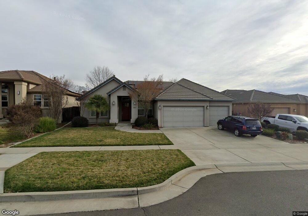
1967 Potter Rd Unit 8 Chico, CA 95928
Meriam Park NeighborhoodEstimated Value: $512,000 - $729,000
4
Beds
3
Baths
2,437
Sq Ft
$271/Sq Ft
Est. Value
About This Home
This home is located at 1967 Potter Rd Unit 8, Chico, CA 95928 and is currently estimated at $660,177, approximately $270 per square foot. 1967 Potter Rd Unit 8 is a home located in Butte County with nearby schools including Little Chico Creek Elementary School, Harry M. Marsh Junior High School, and Chico High School.
Ownership History
Date
Name
Owned For
Owner Type
Purchase Details
Closed on
Dec 23, 2009
Sold by
Thomas Kevin
Bought by
Davis Daniel
Current Estimated Value
Home Financials for this Owner
Home Financials are based on the most recent Mortgage that was taken out on this home.
Original Mortgage
$292,500
Outstanding Balance
$190,589
Interest Rate
4.88%
Mortgage Type
New Conventional
Estimated Equity
$469,588
Create a Home Valuation Report for This Property
The Home Valuation Report is an in-depth analysis detailing your home's value as well as a comparison with similar homes in the area
Home Values in the Area
Average Home Value in this Area
Purchase History
| Date | Buyer | Sale Price | Title Company |
|---|---|---|---|
| Davis Daniel | $390,000 | Mid Valley Title & Escrow Co |
Source: Public Records
Mortgage History
| Date | Status | Borrower | Loan Amount |
|---|---|---|---|
| Open | Davis Daniel | $292,500 |
Source: Public Records
Tax History Compared to Growth
Tax History
| Year | Tax Paid | Tax Assessment Tax Assessment Total Assessment is a certain percentage of the fair market value that is determined by local assessors to be the total taxable value of land and additions on the property. | Land | Improvement |
|---|---|---|---|---|
| 2025 | $6,151 | $552,440 | $141,980 | $410,460 |
| 2024 | $6,151 | $541,609 | $139,197 | $402,412 |
| 2023 | $6,031 | $530,990 | $136,468 | $394,522 |
| 2022 | $5,902 | $520,580 | $133,793 | $386,787 |
| 2021 | $5,877 | $510,373 | $131,170 | $379,203 |
| 2020 | $5,844 | $505,141 | $129,826 | $375,315 |
| 2019 | $5,735 | $495,237 | $127,281 | $367,956 |
| 2018 | $5,622 | $485,528 | $124,786 | $360,742 |
| 2017 | $5,626 | $476,009 | $122,340 | $353,669 |
| 2016 | $5,172 | $466,677 | $119,942 | $346,735 |
| 2015 | $5,149 | $459,668 | $118,141 | $341,527 |
| 2014 | $4,242 | $390,000 | $115,000 | $275,000 |
Source: Public Records
Map
Nearby Homes
- 2865 Beaumont Ave
- 2869 Longwood Dr
- 2886 Wingfield Ave
- 2969 Wingfield Ave
- 297 Saint Augustine Dr
- 1921 Ascolano Way
- 2234 Hutchinson St
- 252 Via Mission Dr
- 171 Remington Dr
- 0 Bruce Rd Unit SN25051893
- 0 Bruce Rd Unit SN25051885
- 18 Jasper Dr
- 0 Coyote Way Unit SN25050197
- 1 Parkhurst St
- 4 Freda Ct
- 123 Raley Blvd
- 2375 Notre Dame Blvd Unit 1
- 1110 Shumard Oak Way
- 2099 Hartford Dr Unit 8
- 664 Stilson Canyon Rd
- 1967 Potter Rd
- 1963 Potter Rd
- 1971 Potter Rd
- 1972 Bancroft Dr Unit 28
- 1972 Bancroft Dr
- 1968 Bancroft Dr Unit 29
- 1976 Bancroft Dr
- 1959 Potter Rd
- 1959 Potter Rd
- 1975 Potter Rd
- 1964 Bancroft Dr
- 1970 Potter Rd
- 1980 Bancroft Dr Unit 26
- 1974 Potter Rd Unit 20
- 1974 Potter Rd
- 1955 Potter Rd
- 1979 Potter Rd
- 1960 Bancroft Dr
- 1984 Bancroft Dr
- 1952 Potter Rd