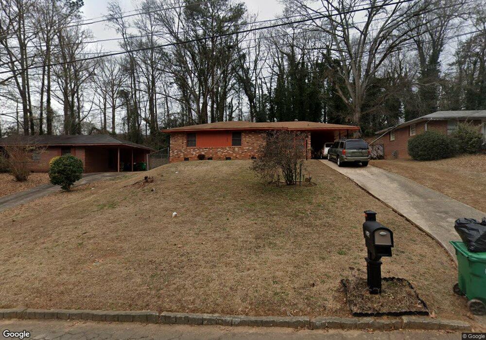
1967 W Starmount Way Decatur, GA 30032
East Lake NeighborhoodEstimated Value: $232,150 - $315,000
3
Beds
1
Bath
1,076
Sq Ft
$246/Sq Ft
Est. Value
About This Home
This home is located at 1967 W Starmount Way, Decatur, GA 30032 and is currently estimated at $265,038, approximately $246 per square foot. 1967 W Starmount Way is a home located in DeKalb County with nearby schools including McNair Middle School, McNair High School, and Charles Drew Charter School.
Ownership History
Date
Name
Owned For
Owner Type
Purchase Details
Closed on
Feb 29, 2024
Sold by
Campbell James L
Bought by
Campbell James L and Campbell Michael J
Current Estimated Value
Create a Home Valuation Report for This Property
The Home Valuation Report is an in-depth analysis detailing your home's value as well as a comparison with similar homes in the area
Home Values in the Area
Average Home Value in this Area
Purchase History
| Date | Buyer | Sale Price | Title Company |
|---|---|---|---|
| Campbell James L | -- | -- |
Source: Public Records
Tax History Compared to Growth
Tax History
| Year | Tax Paid | Tax Assessment Tax Assessment Total Assessment is a certain percentage of the fair market value that is determined by local assessors to be the total taxable value of land and additions on the property. | Land | Improvement |
|---|---|---|---|---|
| 2025 | $659 | $95,040 | $40,520 | $54,520 |
| 2024 | $681 | $100,120 | $40,520 | $59,600 |
| 2023 | $681 | $90,360 | $40,520 | $49,840 |
| 2022 | $583 | $86,640 | $32,960 | $53,680 |
| 2021 | $583 | $77,800 | $32,000 | $45,800 |
| 2020 | $583 | $67,920 | $32,000 | $35,920 |
| 2019 | $574 | $67,160 | $12,000 | $55,160 |
| 2018 | $457 | $60,960 | $12,000 | $48,960 |
| 2017 | $614 | $57,720 | $6,320 | $51,400 |
| 2016 | $578 | $45,320 | $6,320 | $39,000 |
| 2014 | $343 | $14,120 | $3,200 | $10,920 |
Source: Public Records
Map
Nearby Homes
- 1942 E Starmount Way
- 2009 Delphine Dr
- 2147 Mcafee Rd
- 2049 Mcafee Rd
- 2076 Garden Cir
- 1893 Burning Tree Dr
- 2164 Rockhaven Cir
- 2177 Mcafee Rd
- 2093 Garden Cir
- 2013 Marco Dr
- 2203 Hillcrest Ave
- 701 Daniel Ave
- 599 Daniel Ave
- 634 Daniel Ave
- 1602 Dancing Fox Rd
- 2032 Juanita St
- 2053 Juanita St
- 436 Carter Ave SE
- 1961 W Starmount Way
- 1973 W Starmount Way
- W W Starmount Way
- 1955 W Starmount Way
- 1979 W Starmount Way
- 1966 Delphine Dr
- 1970 Delphine Dr
- 1960 Delphine Dr
- 1949 W Starmount Way
- 1976 Delphine Dr
- 1954 Delphine Dr
- 1985 W Starmount Way
- 1980 Delphine Dr
- 1950 Delphine Dr
- 1943 W Starmount Way
- E E Starmount Way
- 1991 W Starmount Way
- 1986 Delphine Dr
- 2033 Barberrie Ln
- 1944 Delphine Dr