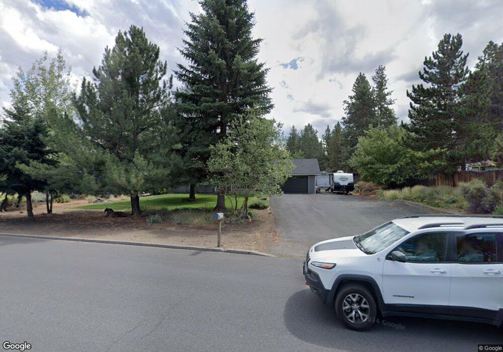
19675 Poplar St Bend, OR 97702
Southwest Bend NeighborhoodEstimated Value: $778,000 - $1,002,000
4
Beds
1
Bath
1,536
Sq Ft
$581/Sq Ft
Est. Value
About This Home
This home is located at 19675 Poplar St, Bend, OR 97702 and is currently estimated at $892,224, approximately $580 per square foot. 19675 Poplar St is a home located in Deschutes County with nearby schools including Elk Meadow Elementary School, Cascade Middle School, and Summit High School.
Ownership History
Date
Name
Owned For
Owner Type
Purchase Details
Closed on
Oct 2, 2025
Sold by
Spittler Robert L and Spittler Linda J
Bought by
Spittler Family Trust and Spittler
Current Estimated Value
Purchase Details
Closed on
Mar 19, 2004
Sold by
Spittler Robert L and Spittler Linda J
Bought by
Spittler Robert L and Spittler Linda J
Home Financials for this Owner
Home Financials are based on the most recent Mortgage that was taken out on this home.
Original Mortgage
$194,500
Interest Rate
5.64%
Mortgage Type
New Conventional
Create a Home Valuation Report for This Property
The Home Valuation Report is an in-depth analysis detailing your home's value as well as a comparison with similar homes in the area
Home Values in the Area
Average Home Value in this Area
Purchase History
| Date | Buyer | Sale Price | Title Company |
|---|---|---|---|
| Spittler Family Trust | -- | None Listed On Document | |
| Spittler Robert L | -- | First Amer Title Ins Co Or |
Source: Public Records
Mortgage History
| Date | Status | Borrower | Loan Amount |
|---|---|---|---|
| Previous Owner | Spittler Robert L | $194,500 |
Source: Public Records
Tax History Compared to Growth
Tax History
| Year | Tax Paid | Tax Assessment Tax Assessment Total Assessment is a certain percentage of the fair market value that is determined by local assessors to be the total taxable value of land and additions on the property. | Land | Improvement |
|---|---|---|---|---|
| 2025 | $4,920 | $291,180 | -- | -- |
| 2024 | $4,733 | $282,700 | -- | -- |
| 2023 | $4,388 | $274,470 | $0 | $0 |
| 2022 | $4,094 | $258,720 | $0 | $0 |
| 2021 | $4,100 | $251,190 | $0 | $0 |
| 2020 | $3,890 | $251,190 | $0 | $0 |
| 2019 | $3,782 | $243,880 | $0 | $0 |
| 2018 | $3,675 | $236,780 | $0 | $0 |
| 2017 | $3,633 | $229,890 | $0 | $0 |
| 2016 | $3,468 | $223,200 | $0 | $0 |
| 2015 | $3,374 | $216,700 | $0 | $0 |
| 2014 | $3,276 | $210,390 | $0 | $0 |
Source: Public Records
Map
Nearby Homes
- 60836 Yellow Leaf St
- 60829 Yellow Leaf St
- 60903 Amethyst St
- 19555 Greatwood Loop
- 19815 Nugget Ave
- 60890 Alpine Dr
- 19543 Greatwood Loop
- 60940 Clearmeadow Ct
- 19805 Wetland Ct
- 19501 Pond Meadow Ave
- 19603 Greatwood Loop
- 19545 Salmonberry Ct
- 61163 Chuckanut Dr
- 60929 Alpine Dr
- 60943 Summerwood Way
- 19540 Oceanspray Way
- 61102 Aspen Rim Ln
- 61047 Honkers Ln
- 61062 Snowbrush Dr
- 60798 Goldenwood Loop
- 19683 Poplar St
- 60870 Diamond Rd
- 60860 Diamond Rd
- 19691 Poplar St
- 60850 Diamond Rd
- 19684 Poplar St
- 60886 Zircon Dr
- 60847 Opal Dr
- 60865 Diamond Rd
- 19654 Emerald Place
- 19677 Alexandrite Dr
- 60843 Opal Dr
- 19698 Poplar St
- 60840 Diamond Rd
- 19699 Poplar St
- 60851 Opal Dr
- 60894 Zircon Dr
- 19650 Poplar St
- 19645 Poplar St
- 19684 Alexandrite Dr