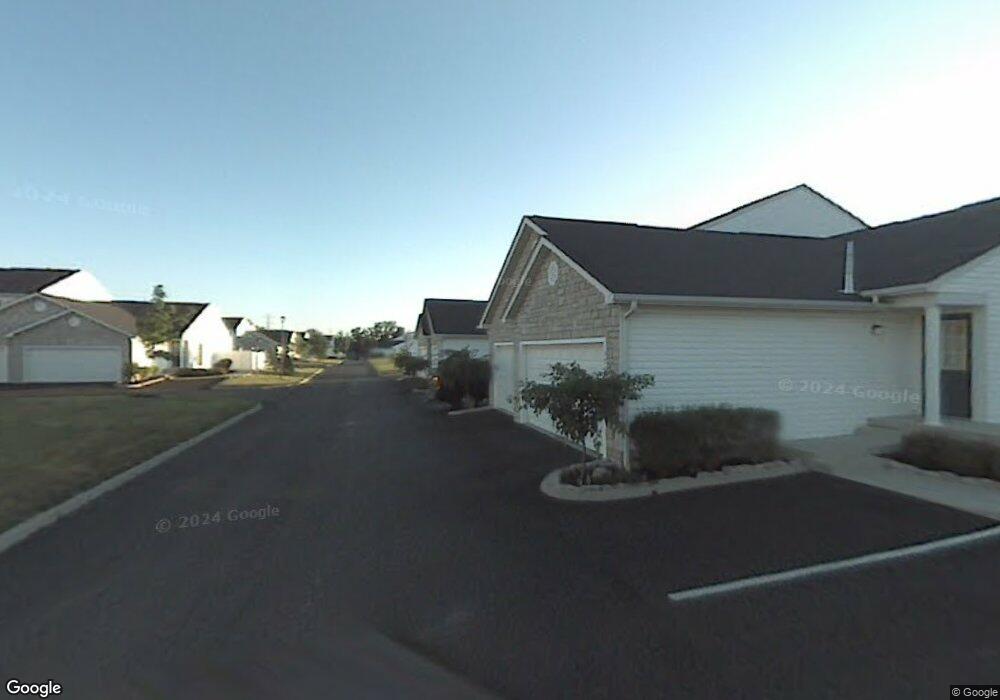
1968 Bashan Dr Unit 83A Columbus, OH 43228
Estimated Value: $197,228 - $220,000
2
Beds
2
Baths
1,264
Sq Ft
$167/Sq Ft
Est. Value
About This Home
This home is located at 1968 Bashan Dr Unit 83A, Columbus, OH 43228 and is currently estimated at $210,807, approximately $166 per square foot. 1968 Bashan Dr Unit 83A is a home located in Franklin County with nearby schools including Bolton Crossing Elementary School, Holt Crossing Intermediate School, and Pleasant View Middle School.
Ownership History
Date
Name
Owned For
Owner Type
Purchase Details
Closed on
Nov 22, 2006
Sold by
Mcevoy Patricia L
Bought by
Mcevoy Robert and Mcevoy Patricia L
Current Estimated Value
Home Financials for this Owner
Home Financials are based on the most recent Mortgage that was taken out on this home.
Original Mortgage
$100,000
Interest Rate
6.4%
Mortgage Type
Stand Alone Refi Refinance Of Original Loan
Purchase Details
Closed on
Feb 22, 2002
Sold by
The Qualstan Corp
Bought by
Mcevoy Patricia L
Home Financials for this Owner
Home Financials are based on the most recent Mortgage that was taken out on this home.
Original Mortgage
$106,012
Interest Rate
4.5%
Mortgage Type
Purchase Money Mortgage
Create a Home Valuation Report for This Property
The Home Valuation Report is an in-depth analysis detailing your home's value as well as a comparison with similar homes in the area
Purchase History
| Date | Buyer | Sale Price | Title Company |
|---|---|---|---|
| Mcevoy Robert | -- | Stewart Tit | |
| Mcevoy Patricia L | $11,800 | Lawyers Title |
Source: Public Records
Mortgage History
| Date | Status | Borrower | Loan Amount |
|---|---|---|---|
| Previous Owner | Mcevoy Robert | $100,000 | |
| Previous Owner | Mcevoy Patricia L | $106,012 |
Source: Public Records
Tax History
| Year | Tax Paid | Tax Assessment Tax Assessment Total Assessment is a certain percentage of the fair market value that is determined by local assessors to be the total taxable value of land and additions on the property. | Land | Improvement |
|---|---|---|---|---|
| 2025 | $1,683 | $55,970 | $10,500 | $45,470 |
| 2024 | $1,683 | $55,970 | $10,500 | $45,470 |
| 2023 | $1,676 | $55,965 | $10,500 | $45,465 |
| 2022 | $1,517 | $39,830 | $4,550 | $35,280 |
| 2021 | $1,547 | $39,830 | $4,550 | $35,280 |
| 2020 | $1,539 | $39,830 | $4,550 | $35,280 |
| 2019 | $1,227 | $30,630 | $3,500 | $27,130 |
| 2018 | $1,113 | $30,630 | $3,500 | $27,130 |
| 2017 | $1,110 | $30,630 | $3,500 | $27,130 |
| 2016 | $1,004 | $25,350 | $3,820 | $21,530 |
| 2015 | $1,004 | $25,350 | $3,820 | $21,530 |
| 2014 | $1,005 | $25,350 | $3,820 | $21,530 |
| 2013 | $633 | $29,820 | $4,480 | $25,340 |
Source: Public Records
Map
Nearby Homes
- 1842 Bashan Dr Unit 75F
- 4633 Parrau Dr Unit 70F
- 4644 Hobson Dr Unit 13D
- 1981 Hoadley Dr Unit 10A
- 4701 Cadmus Dr Unit 31E
- 2073 Santuomo Ave
- 4704 Hobson Dr Unit 4A
- 4732 Lesbrook Dr
- 2120 Sunrush Ct
- 4315 Shady Meadows Dr
- 1925 Fortstone Ln Unit 1925
- 4320 Grouse Ct
- 1870 Berrancher Dr Unit 1870
- 1997 Berrancher Dr Unit 1997
- 1800 Georgesville Square Dr
- 4655 Parkwick Dr
- 2360 Bloxom St
- 1710 Carrigallen Ln
- 2345 Demorest Rd
- 2147 Exemplar Ct
- 4583 Hobson Dr Unit 84D
- 4591 Hobson Dr Unit 85A
- 1997 Bashan Dr Unit 81A
- 4585 Hobson Dr Unit 84E
- 1995 Bashan Dr Unit 81B
- 1993 Bashan Dr Unit 81C
- 4593 Hobson Dr Unit 85B
- 4581 Hobson Dr Unit 84C
- 4597 Hobson Dr
- 4597 Hobson Dr Unit 85D
- 1991 Bashan Dr Unit 81D
- 4579 Hobson Dr Unit 84B
- 4595 Hobson Dr Unit 85C
- 1989 Bashan Dr Unit 81E
- 1976 Bashan Dr Unit 83E
- 1974 Bashan Dr Unit 83D
- 1972 Bashan Dr Unit 83C
- 4577 Hobson Dr Unit 84A
- 1970 Bashan Dr Unit 83B
- 4599 Hobson Dr Unit 85E
Your Personal Tour Guide
Ask me questions while you tour the home.