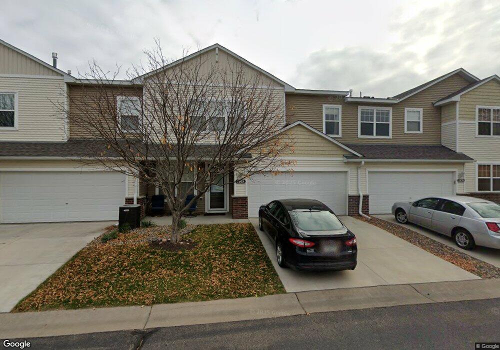
1968 Sierra Dr Unit 407 Hastings, MN 55033
Hastings-Marshan Township NeighborhoodEstimated Value: $246,859 - $290,000
2
Beds
2
Baths
1,443
Sq Ft
$189/Sq Ft
Est. Value
About This Home
This home is located at 1968 Sierra Dr Unit 407, Hastings, MN 55033 and is currently estimated at $272,465, approximately $188 per square foot. 1968 Sierra Dr Unit 407 is a home located in Dakota County with nearby schools including Christa Mcauliffe Elementary School, Hastings Middle School, and Hastings High School.
Ownership History
Date
Name
Owned For
Owner Type
Purchase Details
Closed on
Jun 6, 2020
Sold by
Vick Ryan D and Vick Jerilyn
Bought by
Day Jack and Hills Hannah
Current Estimated Value
Home Financials for this Owner
Home Financials are based on the most recent Mortgage that was taken out on this home.
Original Mortgage
$189,504
Outstanding Balance
$167,981
Interest Rate
3.2%
Mortgage Type
FHA
Estimated Equity
$104,484
Purchase Details
Closed on
Sep 19, 2007
Sold by
Centex Homes Minnesota Division
Bought by
Vick Ryan D
Home Financials for this Owner
Home Financials are based on the most recent Mortgage that was taken out on this home.
Original Mortgage
$163,370
Interest Rate
6.66%
Mortgage Type
New Conventional
Create a Home Valuation Report for This Property
The Home Valuation Report is an in-depth analysis detailing your home's value as well as a comparison with similar homes in the area
Home Values in the Area
Average Home Value in this Area
Purchase History
| Date | Buyer | Sale Price | Title Company |
|---|---|---|---|
| Day Jack | $193,000 | Title Specialists Inc | |
| Vick Ryan D | $163,370 | -- |
Source: Public Records
Mortgage History
| Date | Status | Borrower | Loan Amount |
|---|---|---|---|
| Open | Day Jack | $189,504 | |
| Previous Owner | Vick Ryan D | $163,370 |
Source: Public Records
Tax History Compared to Growth
Tax History
| Year | Tax Paid | Tax Assessment Tax Assessment Total Assessment is a certain percentage of the fair market value that is determined by local assessors to be the total taxable value of land and additions on the property. | Land | Improvement |
|---|---|---|---|---|
| 2024 | $2,612 | $238,200 | $45,700 | $192,500 |
| 2023 | $2,612 | $238,900 | $45,400 | $193,500 |
| 2022 | $2,128 | $226,900 | $45,300 | $181,600 |
| 2021 | $1,950 | $189,300 | $39,400 | $149,900 |
| 2020 | $2,178 | $174,800 | $37,600 | $137,200 |
| 2019 | $2,115 | $169,700 | $35,800 | $133,900 |
| 2018 | $2,113 | $156,400 | $34,100 | $122,300 |
| 2017 | $1,976 | $150,900 | $32,500 | $118,400 |
| 2016 | $1,907 | $140,400 | $30,400 | $110,000 |
| 2015 | $1,400 | $132,000 | $29,200 | $102,800 |
| 2014 | -- | $92,797 | $21,702 | $71,095 |
| 2013 | -- | $72,959 | $17,680 | $55,279 |
Source: Public Records
Map
Nearby Homes
- 2109 Westpointe Dr
- 1832 Ridgepointe N
- 2120 Ridge Pointe Dr
- 2157 Westpointe Dr
- 2173 Westpointe Dr
- 1817 Ridgepointe Ct
- 2160 Ridge Pointe Dr
- 2165 Westpointe Dr
- 2189 Westpointe Dr
- Hudson Plan at Heritage Ridge - Villas
- Sully Plan at Heritage Ridge - Villas
- Riley Plan at Heritage Ridge - Villas
- Arlow Plan at Heritage Ridge - Villas
- Arlow Plan at Heritage Ridge
- Kenny Plan at Heritage Ridge - Villas
- Ashlyn Plan at Heritage Ridge - Villas
- Hudson Plan at Heritage Ridge
- Alley Plan at Heritage Ridge
- Henry Plan at Heritage Ridge - Villas
- Victoria Plan at Heritage Ridge - Villas
- 1968 Sierra Dr
- 1966 Sierra Dr
- 1970 Sierra Dr
- 1956 Rose Way
- 1964 Sierra Dr
- 1954 Rose Way
- 1954 Rose Way Unit 402
- 1971 Sierra Dr
- 1981 Sierra Dr
- 1952 Rose Way
- 1952 Rose Way Unit 401
- 1912 Rose Way
- 1948 Rose Way
- 1938 Rose Way
- 1962 Rose Way
- 1958 Rose Way
- 1912 Rose Way Unit 601
- 1958 Rose Way Unit 404
- 1946 Rose Way
- 1944 Rose Way