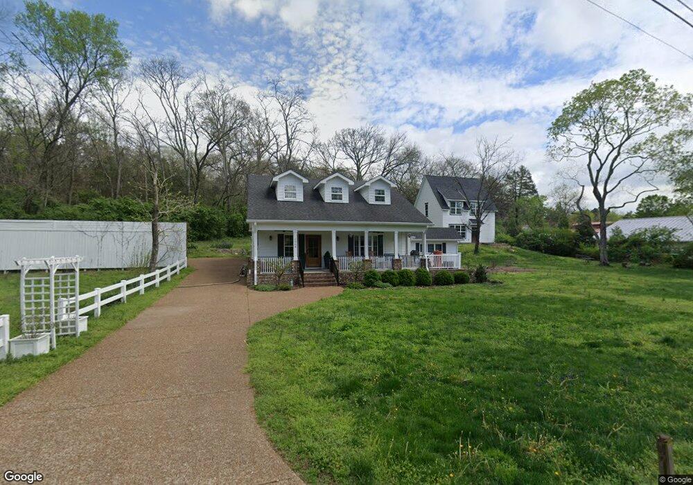
1968 Wilson Pike Franklin, TN 37067
Estimated Value: $261,000 - $892,000
--
Bed
2
Baths
2,130
Sq Ft
$280/Sq Ft
Est. Value
About This Home
This home is located at 1968 Wilson Pike, Franklin, TN 37067 and is currently estimated at $595,339, approximately $279 per square foot. 1968 Wilson Pike is a home located in Williamson County with nearby schools including Trinity Elementary School, Fred J. Page Middle School, and Fred J. Page High School.
Ownership History
Date
Name
Owned For
Owner Type
Purchase Details
Closed on
Nov 22, 2016
Sold by
Sidwell Tommy
Bought by
Palmer Mark and Palmer Sarah
Current Estimated Value
Purchase Details
Closed on
Dec 14, 2012
Sold by
Pmc Reo Financing Trust
Bought by
Sidwell Tommy
Purchase Details
Closed on
Feb 24, 2012
Sold by
Pennymac Corp
Bought by
Pmc Reo Financing Trust
Purchase Details
Closed on
Aug 25, 2011
Sold by
Morris Drew P and Morris Christi D
Bought by
Pennymac Corp
Purchase Details
Closed on
Nov 26, 1997
Sold by
Baker Teresa Lee
Bought by
Morris Drew P and Morris Christi D
Home Financials for this Owner
Home Financials are based on the most recent Mortgage that was taken out on this home.
Original Mortgage
$107,100
Interest Rate
7.5%
Mortgage Type
VA
Purchase Details
Closed on
Oct 24, 1996
Sold by
Lee Baker Teresa
Bought by
Aldon Boston Dennis
Create a Home Valuation Report for This Property
The Home Valuation Report is an in-depth analysis detailing your home's value as well as a comparison with similar homes in the area
Home Values in the Area
Average Home Value in this Area
Purchase History
| Date | Buyer | Sale Price | Title Company |
|---|---|---|---|
| Palmer Mark | -- | None Available | |
| Sidwell Tommy | $89,900 | Stewart Title Company | |
| Pmc Reo Financing Trust | -- | Servicelink | |
| Pennymac Corp | $90,000 | None Available | |
| Morris Drew P | $105,000 | -- | |
| Aldon Boston Dennis | $500 | -- |
Source: Public Records
Mortgage History
| Date | Status | Borrower | Loan Amount |
|---|---|---|---|
| Previous Owner | Morris Drew P | $107,100 |
Source: Public Records
Tax History Compared to Growth
Tax History
| Year | Tax Paid | Tax Assessment Tax Assessment Total Assessment is a certain percentage of the fair market value that is determined by local assessors to be the total taxable value of land and additions on the property. | Land | Improvement |
|---|---|---|---|---|
| 2024 | $1,333 | $70,900 | $21,300 | $49,600 |
| 2023 | $0 | $70,900 | $21,300 | $49,600 |
| 2022 | $1,333 | $70,900 | $21,300 | $49,600 |
| 2021 | $1,333 | $70,900 | $21,300 | $49,600 |
| 2020 | $1,264 | $56,950 | $14,200 | $42,750 |
| 2019 | $1,264 | $56,950 | $14,200 | $42,750 |
| 2018 | $1,224 | $56,950 | $14,200 | $42,750 |
| 2017 | $1,224 | $56,950 | $14,200 | $42,750 |
| 2016 | $869 | $40,400 | $14,200 | $26,200 |
| 2015 | -- | $34,250 | $10,925 | $23,325 |
| 2014 | -- | $34,250 | $10,925 | $23,325 |
Source: Public Records
Map
Nearby Homes
- 4160 Clovercroft Rd
- 4165 Clovercroft Rd
- 9065 Chardonnay Trace
- 1055 Amelia Park Dr
- 1820 Lanceford Ct
- 1068 Amelia Park Dr
- 0 Lasata Unit RTC2787689
- 1407 Hanson Dr
- 109 Bayhill Cir
- 1607 Sand Dollar Ct
- 1132 Amelia Park Dr
- 1006 Dovecrest Way
- 6060 Lookaway Cir
- 6035 Lookaway Cir
- 1929 Springcroft Dr
- 1422 Marrimans Ct
- 6001 Poplar Farms Dr
- 5049 Poplar Farms Dr
- 5043 Poplar Farms Dr
- 9409 Clovercroft Rd
- 0 Clovercroft Rd
- 4178 Clovercroft Rd
- 4033 Clovercroft Rd
- 1974 Wilson Pike
- 1978 Wilson Pike
- 3130 Butternut Dr
- 3130 Butternut Dr
- 3126 Butternut Dr
- 3126 Butternut Dr
- 3122 Butternut Dr
- 3122 Butternut Dr
- 1990 Wilson Pike
- 4176 Clovercroft Rd
- 3118 Butternut Dr
- 4179 Clovercroft Rd
- 3114 Butternut Dr
- 3114 Butternut Dr
- 4174 Clovercroft Rd
- 3110 Butternut Dr
- 3110 Butternut Dr