19680 S Green Rd Spring Hill, KS 66083
Gardner-Edgerton NeighborhoodEstimated Value: $490,000 - $700,000
3
Beds
4
Baths
1,899
Sq Ft
$305/Sq Ft
Est. Value
About This Home
This home is located at 19680 S Green Rd, Spring Hill, KS 66083 and is currently estimated at $579,158, approximately $304 per square foot. 19680 S Green Rd is a home located in Johnson County with nearby schools including Wolf Creek Elementary School, Spring Hill Middle School, and Spring Hill High School.
Ownership History
Date
Name
Owned For
Owner Type
Purchase Details
Closed on
Sep 11, 2003
Sold by
Oberkrom Scott and Oberkrom Amy
Bought by
Oberkrom Scott and Oberkrom Amy
Current Estimated Value
Home Financials for this Owner
Home Financials are based on the most recent Mortgage that was taken out on this home.
Original Mortgage
$180,000
Interest Rate
6.08%
Mortgage Type
Purchase Money Mortgage
Create a Home Valuation Report for This Property
The Home Valuation Report is an in-depth analysis detailing your home's value as well as a comparison with similar homes in the area
Home Values in the Area
Average Home Value in this Area
Purchase History
| Date | Buyer | Sale Price | Title Company |
|---|---|---|---|
| Oberkrom Scott | -- | Security Land Title Company |
Source: Public Records
Mortgage History
| Date | Status | Borrower | Loan Amount |
|---|---|---|---|
| Closed | Oberkrom Scott | $180,000 |
Source: Public Records
Tax History
| Year | Tax Paid | Tax Assessment Tax Assessment Total Assessment is a certain percentage of the fair market value that is determined by local assessors to be the total taxable value of land and additions on the property. | Land | Improvement |
|---|---|---|---|---|
| 2025 | $7,432 | $63,702 | $15,264 | $48,438 |
| 2024 | $7,432 | $62,616 | $15,264 | $47,352 |
| 2023 | $6,578 | $54,937 | $15,264 | $39,673 |
| 2022 | $6,207 | $51,371 | $12,690 | $38,681 |
| 2021 | $5,841 | $47,210 | $12,690 | $34,520 |
| 2020 | $5,652 | $45,176 | $12,690 | $32,486 |
| 2019 | $5,495 | $45,022 | $12,690 | $32,332 |
| 2018 | $5,191 | $43,265 | $11,395 | $31,870 |
| 2017 | $4,633 | $38,896 | $9,536 | $29,360 |
| 2016 | $4,226 | $35,286 | $9,536 | $25,750 |
| 2015 | $4,088 | $33,963 | $9,536 | $24,427 |
| 2013 | -- | $30,992 | $9,536 | $21,456 |
Source: Public Records
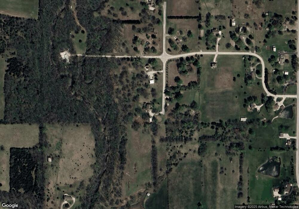
Map
Nearby Homes
- 24200 W 199th St
- 17747 Red Bird St
- 18975 Clare Rd
- 17752 Red Bird St
- 17746 Red Bird St
- 000 W 199th St 25 Acres
- W 199th St
- 0 W 207th St Unit 2425721
- NEC Ln
- 24950 W 183rd St
- 21411 Deer Ridge Dr
- 21350 Deer Ridge Dr
- 17827 Houston St
- 18926 Ocheltree St
- 25206 W 177th Terrace
- 25218 W 177th Terrace
- 17839 Houston St
- 17815 Houston St
- 17803 Houston St
- 17809 Houston St
- 19675 S Green Rd
- 19640 S Green Rd
- 25085 W 196th Terrace
- 19570 S Green Rd
- 19555 S Green Rd
- 24985 W 196th Terrace
- 24950 W 196th Terrace
- 24795 W 196th Terrace
- 19540 S Green Rd
- 24835 W 196th Terrace
- 24840 W 196th Terrace
- 25400 W 199th St
- 25340 W 199th St
- 19690 S Clare Rd
- 19640 S Clare Rd
- 19590 S Clare Rd
- 19801 S Clare Rd
- 0 S Clare Rd Unit 1748860
- 19500 S Clare Rd
- 19805 S Clare Rd
Your Personal Tour Guide
Ask me questions while you tour the home.