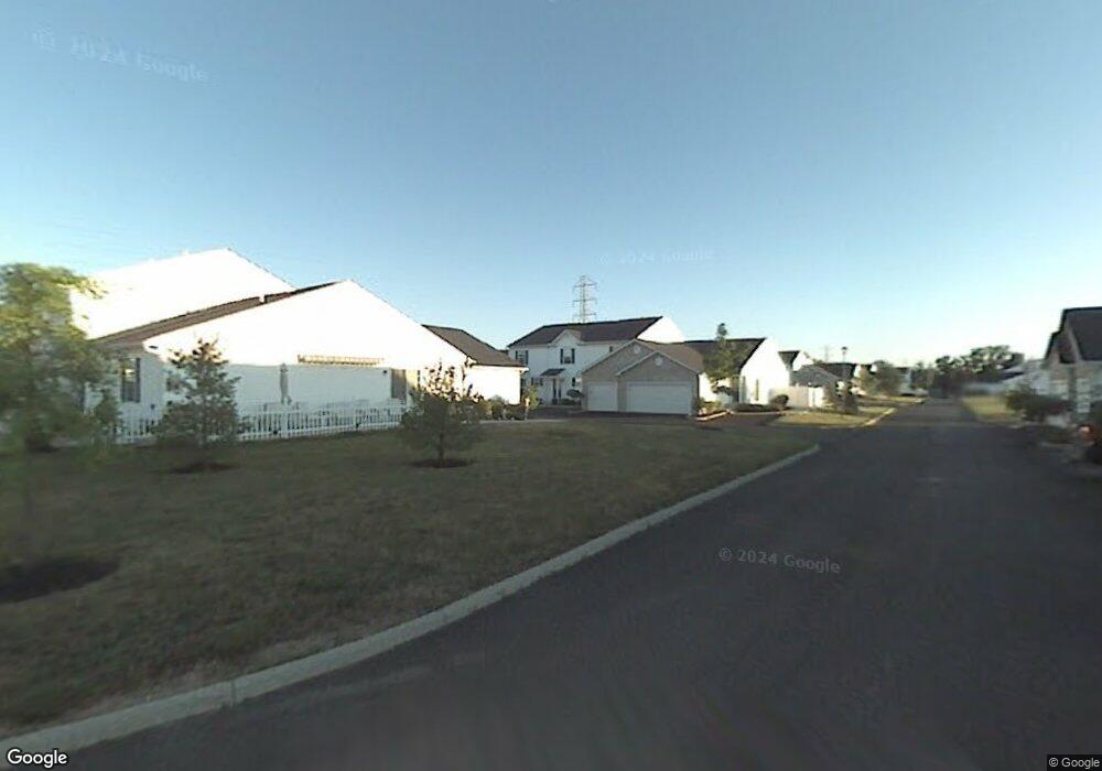
1969 Bashan Dr Unit 82C Columbus, OH 43228
Estimated Value: $181,000 - $190,000
2
Beds
2
Baths
1,248
Sq Ft
$148/Sq Ft
Est. Value
About This Home
This home is located at 1969 Bashan Dr Unit 82C, Columbus, OH 43228 and is currently estimated at $184,578, approximately $147 per square foot. 1969 Bashan Dr Unit 82C is a home located in Franklin County with nearby schools including Bolton Crossing Elementary School, Holt Crossing Intermediate School, and Pleasant View Middle School.
Ownership History
Date
Name
Owned For
Owner Type
Purchase Details
Closed on
Jan 22, 2009
Sold by
Secretary Of Housing & Urban Development
Bought by
Hartman James A
Current Estimated Value
Home Financials for this Owner
Home Financials are based on the most recent Mortgage that was taken out on this home.
Original Mortgage
$58,500
Interest Rate
5.19%
Mortgage Type
Purchase Money Mortgage
Purchase Details
Closed on
Aug 28, 2008
Sold by
Omalley Carri A
Bought by
Hud
Purchase Details
Closed on
Oct 12, 2001
Sold by
The Qualstan Corp
Bought by
Omalley Carri A
Home Financials for this Owner
Home Financials are based on the most recent Mortgage that was taken out on this home.
Original Mortgage
$83,087
Interest Rate
6.88%
Mortgage Type
FHA
Create a Home Valuation Report for This Property
The Home Valuation Report is an in-depth analysis detailing your home's value as well as a comparison with similar homes in the area
Home Values in the Area
Average Home Value in this Area
Purchase History
| Date | Buyer | Sale Price | Title Company |
|---|---|---|---|
| Hartman James A | $40,606 | Lakeside Ti | |
| Hud | $50,000 | None Available | |
| Omalley Carri A | $85,000 | Lawyers Title |
Source: Public Records
Mortgage History
| Date | Status | Borrower | Loan Amount |
|---|---|---|---|
| Closed | Hartman James A | $58,500 | |
| Previous Owner | Omalley Carri A | $83,087 |
Source: Public Records
Tax History Compared to Growth
Tax History
| Year | Tax Paid | Tax Assessment Tax Assessment Total Assessment is a certain percentage of the fair market value that is determined by local assessors to be the total taxable value of land and additions on the property. | Land | Improvement |
|---|---|---|---|---|
| 2024 | $1,749 | $46,760 | $10,500 | $36,260 |
| 2023 | $1,718 | $46,760 | $10,500 | $36,260 |
| 2022 | $1,650 | $32,940 | $4,550 | $28,390 |
| 2021 | $1,682 | $32,940 | $4,550 | $28,390 |
| 2020 | $1,674 | $32,940 | $4,550 | $28,390 |
| 2019 | $1,460 | $25,340 | $3,500 | $21,840 |
| 2018 | $1,144 | $25,340 | $3,500 | $21,840 |
| 2017 | $1,448 | $25,340 | $3,500 | $21,840 |
| 2016 | $835 | $13,410 | $2,870 | $10,540 |
| 2015 | $835 | $13,410 | $2,870 | $10,540 |
| 2014 | $835 | $13,410 | $2,870 | $10,540 |
| 2013 | $487 | $15,750 | $3,360 | $12,390 |
Source: Public Records
Map
Nearby Homes
- 1865 Bashan Dr Unit 78E
- 1842 Bashan Dr Unit 75F
- 4650 Parrau Dr Unit 67E
- 4666 Shalers Dr Unit 49C
- 4686 Parrau Dr Unit 64A
- 4253 Demorest Cove Ct
- 3045 Alkire Rd
- 2209 Owl St
- 1599 Covina Dr
- 1925 Fortstone Ln Unit 1925
- 1870 Berrancher Dr Unit 1870
- 4462 Alameda Dr
- 1800 Georgesville Square Dr
- 4655 Parkwick Dr
- 2360 Bloxom St
- 2345 Demorest Rd
- 4419 Hammerton Dr Unit 13D
- 2157 Hierarch Ct
- 2487 Rosecrest St
- 2445 Linbaugh Rd
- 1971 Bashan Dr Unit 82B
- 1967 Bashan Dr Unit 82D
- 1973 Bashan Dr Unit 82A
- 1965 Bashan Dr Unit 82E
- 1943 Bashan Dr Unit 79A
- 1943 Bashan Dr Unit 79C
- 1945 Bashan Dr Unit 79B
- 1997 Bashan Dr Unit 81A
- 1995 Bashan Dr Unit 81B
- 1947 Bashan Dr Unit 79A
- 1993 Bashan Dr Unit 81C
- 1991 Bashan Dr Unit 81D
- 1939 Bashan Dr Unit 79E
- 1941 Bashan Dr Unit 79D
- 1989 Bashan Dr Unit 81E
- 4583 Hobson Dr Unit 84D
- 1968 Bashan Dr Unit 83A
- 1970 Bashan Dr Unit 83B
- 1972 Bashan Dr Unit 83C
- 1976 Bashan Dr Unit 83E