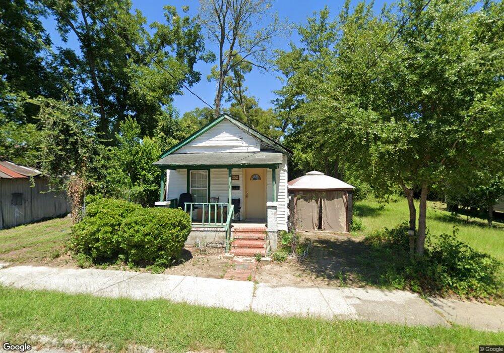
1969 Ellis St Augusta, GA 30904
West End NeighborhoodEstimated Value: $63,000 - $68,271
2
Beds
1
Bath
840
Sq Ft
$78/Sq Ft
Est. Value
About This Home
This home is located at 1969 Ellis St, Augusta, GA 30904 and is currently estimated at $65,818, approximately $78 per square foot. 1969 Ellis St is a home located in Richmond County with nearby schools including Lamar Elementary School, W.S. Hornsby K-8 School, and Johnson Magnet.
Ownership History
Date
Name
Owned For
Owner Type
Purchase Details
Closed on
Feb 16, 2011
Sold by
Federal Natl Mtg Assn Fnma
Bought by
Morin Properties Llc
Current Estimated Value
Purchase Details
Closed on
Dec 7, 2010
Sold by
Citimortgage
Bought by
Federal Natl Mtg Assn Fnma
Purchase Details
Closed on
Nov 18, 2004
Sold by
Tug Properties Llc
Bought by
Richardson James
Home Financials for this Owner
Home Financials are based on the most recent Mortgage that was taken out on this home.
Original Mortgage
$36,000
Interest Rate
5.61%
Mortgage Type
Purchase Money Mortgage
Purchase Details
Closed on
Dec 29, 1998
Sold by
Foushee Stephen R
Bought by
Westminster Day School Inc
Purchase Details
Closed on
Jun 1, 1989
Sold by
Schneider Howard E
Bought by
Foushee Stephen R
Purchase Details
Closed on
Mar 1, 1988
Sold by
Key William O
Bought by
Schneider Howard
Create a Home Valuation Report for This Property
The Home Valuation Report is an in-depth analysis detailing your home's value as well as a comparison with similar homes in the area
Home Values in the Area
Average Home Value in this Area
Purchase History
| Date | Buyer | Sale Price | Title Company |
|---|---|---|---|
| Morin Properties Llc | $7,300 | -- | |
| Federal Natl Mtg Assn Fnma | -- | -- | |
| Citimortgage | -- | -- | |
| Richardson James | $7,000 | -- | |
| Tug Properties Llc | $1,500 | -- | |
| Westminster Day School Inc | -- | -- | |
| Foushee Stephen R | $16,000 | -- | |
| Schneider Howard | $3,500 | -- |
Source: Public Records
Mortgage History
| Date | Status | Borrower | Loan Amount |
|---|---|---|---|
| Previous Owner | Tug Properties Llc | $36,000 |
Source: Public Records
Tax History Compared to Growth
Tax History
| Year | Tax Paid | Tax Assessment Tax Assessment Total Assessment is a certain percentage of the fair market value that is determined by local assessors to be the total taxable value of land and additions on the property. | Land | Improvement |
|---|---|---|---|---|
| 2024 | $829 | $16,764 | $1,382 | $15,382 |
| 2023 | $829 | $16,812 | $1,382 | $15,430 |
| 2022 | $747 | $14,262 | $1,382 | $12,880 |
| 2021 | $528 | $6,463 | $1,378 | $5,085 |
| 2020 | $545 | $7,085 | $2,000 | $5,085 |
| 2019 | $561 | $7,085 | $2,000 | $5,085 |
| 2018 | $591 | $7,085 | $2,000 | $5,085 |
| 2017 | $562 | $7,085 | $2,000 | $5,085 |
| 2016 | $562 | $7,085 | $2,000 | $5,085 |
| 2015 | $564 | $7,085 | $2,000 | $5,085 |
| 2014 | $564 | $7,085 | $2,000 | $5,085 |
Source: Public Records
Map
Nearby Homes
- 2021 Ellis St
- 1918 Division St Unit 3
- 2025 Ellis St
- 1913 Ellis St
- 2006 Division St
- 1940 Telfair St
- 2048 Edgar St
- 2063 Broad St
- 1916 Battle Row
- 608 Eve St
- 1918 Walker St
- 1916 Walker St
- 2056 Telfair St
- 1968 Battle Row
- 1827 Hicks St
- 1929 Watkins St
- 605 Eve St
- 1915 Watkins St
- 1858 Walker St
- 1851 Wilhelm Ln