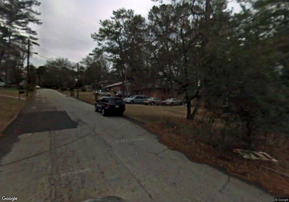
1969 Mark Trail Decatur, GA 30032
Parker NeighborhoodEstimated Value: $209,648 - $256,000
3
Beds
1
Bath
1,119
Sq Ft
$214/Sq Ft
Est. Value
About This Home
This home is located at 1969 Mark Trail, Decatur, GA 30032 and is currently estimated at $239,912, approximately $214 per square foot. 1969 Mark Trail is a home located in DeKalb County with nearby schools including McNair Middle School, McNair High School, and Charles Drew Charter School.
Ownership History
Date
Name
Owned For
Owner Type
Purchase Details
Closed on
Sep 5, 2024
Sold by
Trottis Contracting & Building Llc
Bought by
Trottis Contracting & Building Co B Llc
Current Estimated Value
Purchase Details
Closed on
Nov 30, 2020
Sold by
Lisbon Karreem Lamar
Bought by
Trottis Contracting & Building Llc
Purchase Details
Closed on
Jan 6, 2015
Sold by
Lisbon Artis
Bought by
Lisbon Karreem Lamar
Purchase Details
Closed on
Aug 19, 2014
Sold by
Allen Samuel D
Bought by
Lisbon Artis
Purchase Details
Closed on
Jan 3, 2010
Sold by
Trottis Contracting & Building
Bought by
Allen Samuel D
Purchase Details
Closed on
Jun 27, 2006
Sold by
Walker Malik A
Bought by
Lisbon Artis
Create a Home Valuation Report for This Property
The Home Valuation Report is an in-depth analysis detailing your home's value as well as a comparison with similar homes in the area
Home Values in the Area
Average Home Value in this Area
Purchase History
| Date | Buyer | Sale Price | Title Company |
|---|---|---|---|
| Trottis Contracting & Building Co B Llc | -- | -- | |
| Trottis Contracting & Building Llc | -- | -- | |
| Lisbon Karreem Lamar | -- | -- | |
| Lisbon Artis | -- | -- | |
| Allen Samuel D | -- | -- | |
| Lisbon Artis | $9,000 | -- |
Source: Public Records
Tax History Compared to Growth
Tax History
| Year | Tax Paid | Tax Assessment Tax Assessment Total Assessment is a certain percentage of the fair market value that is determined by local assessors to be the total taxable value of land and additions on the property. | Land | Improvement |
|---|---|---|---|---|
| 2025 | $4,499 | $92,600 | $33,960 | $58,640 |
| 2024 | $3,392 | $67,320 | $4,712 | $62,608 |
| 2023 | $3,392 | $67,320 | $4,712 | $62,608 |
| 2022 | $3,296 | $67,320 | $4,720 | $62,600 |
| 2021 | $2,957 | $59,600 | $4,720 | $54,880 |
| 2020 | $2,413 | $47,200 | $4,720 | $42,480 |
| 2019 | $2,420 | $47,360 | $4,720 | $42,640 |
| 2018 | $1,641 | $41,120 | $4,720 | $36,400 |
| 2017 | $1,920 | $33,800 | $2,400 | $31,400 |
| 2016 | $1,354 | $22,920 | $2,400 | $20,520 |
| 2014 | $1,153 | $17,920 | $2,400 | $15,520 |
Source: Public Records
Map
Nearby Homes
- 2146 Trailwood Rd
- 2128 Mark Trail
- 2030 Mark Trail
- 2139 Trailwood Rd
- 2243 Mark Trail
- 2117 Samuel Place
- 2164 Rockhaven Cir
- 2093 Garden Cir
- 2260 Cresta Dr
- 2053 Juanita St
- 2270 Cresta Dr
- 2303 Pinewood Dr
- 2103 Keheley Dr
- 2076 Garden Cir
- 2271 Cresta Dr
- 2147 Mcafee Rd
- 2101 East Dr Unit 10
- 2032 Juanita St
- 701 Daniel Ave
- 2308 Mark Trail
- 1965 Mark Trail
- 1973 Mark Trail
- 1979 Mark Trail
- 2141 Mark Trail
- 2147 Mark Trail
- 2155 Mark Trail
- 2135 Mark Trail
- 1983 Mark Trail
- 1966 Mark Trail
- 1970 Mark Trail
- 2129 Mark Trail
- 1974 Mark Trail
- 2169 Mark Trail
- 2023 Mark Trail
- 1978 Mark Trail
- 2019 Mark Trail
- 2123 Mark Trail
- 1999 Mark Trail
- 2177 Mark Trail
- 1984 Mark Trail
