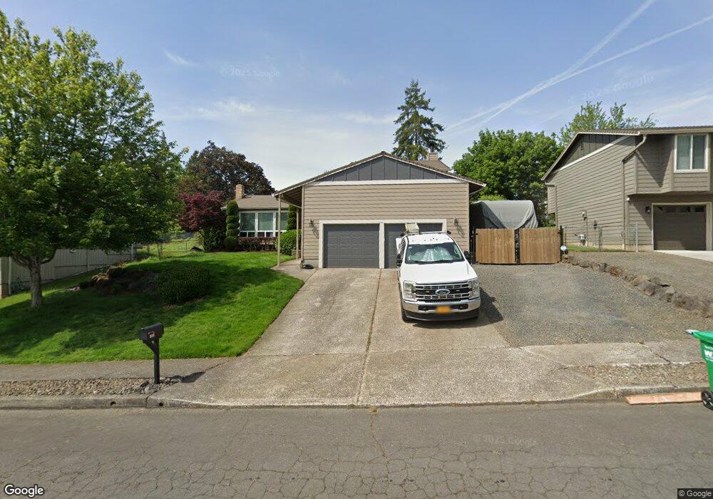
1969 SW 26th Ct Gresham, OR 97080
Southwest Gresham NeighborhoodEstimated Value: $514,533 - $583,000
4
Beds
3
Baths
1,461
Sq Ft
$369/Sq Ft
Est. Value
About This Home
This home is located at 1969 SW 26th Ct, Gresham, OR 97080 and is currently estimated at $539,633, approximately $369 per square foot. 1969 SW 26th Ct is a home located in Multnomah County with nearby schools including Dexter McCarty Middle School, Gresham High School, and Portland Adventist Elementary School.
Ownership History
Date
Name
Owned For
Owner Type
Purchase Details
Closed on
Apr 29, 2004
Sold by
Markley Thomas E
Bought by
Nannini Paul R and Nannini Annette O
Current Estimated Value
Home Financials for this Owner
Home Financials are based on the most recent Mortgage that was taken out on this home.
Original Mortgage
$204,250
Outstanding Balance
$93,313
Interest Rate
5.35%
Mortgage Type
Purchase Money Mortgage
Estimated Equity
$446,320
Create a Home Valuation Report for This Property
The Home Valuation Report is an in-depth analysis detailing your home's value as well as a comparison with similar homes in the area
Home Values in the Area
Average Home Value in this Area
Purchase History
| Date | Buyer | Sale Price | Title Company |
|---|---|---|---|
| Nannini Paul R | $215,000 | Ticor Title Insurance Compan |
Source: Public Records
Mortgage History
| Date | Status | Borrower | Loan Amount |
|---|---|---|---|
| Open | Nannini Paul R | $204,250 |
Source: Public Records
Tax History
| Year | Tax Paid | Tax Assessment Tax Assessment Total Assessment is a certain percentage of the fair market value that is determined by local assessors to be the total taxable value of land and additions on the property. | Land | Improvement |
|---|---|---|---|---|
| 2025 | $6,586 | $323,650 | -- | -- |
| 2024 | $6,305 | $314,230 | -- | -- |
| 2023 | $5,744 | $305,080 | $0 | $0 |
| 2022 | $5,583 | $296,200 | $0 | $0 |
| 2021 | $5,443 | $287,580 | $0 | $0 |
| 2020 | $5,121 | $279,210 | $0 | $0 |
| 2019 | $4,987 | $271,080 | $0 | $0 |
| 2018 | $4,755 | $263,190 | $0 | $0 |
Source: Public Records
Map
Nearby Homes
- 2160 SW 26th St
- 1645 SW 27th St
- 2520 SW Towle Ave
- 1441 SW 23rd Ct
- 3120 SW Orchard Place
- 0 SW Battaglia Ave
- 1421 SW Binford Lake Pkwy
- 1278 SW 27th Ct
- 1320 SW 31st St
- 2294 SW Wallula Ln
- 2715 SW 31st St
- 1963 SW Myers Place
- 2398 SW Tegart Ave
- 3506 SW Battaglia Ave
- 3512 SW Battaglia Ave
- 3536 SW Battaglia Ave
- 3079 SW 22nd St
- 3510 SW Binford Ave
- 3542 SW Binford Ave
- 1960 SW 13th Ct
- 1955 SW 26th Ct
- 1983 SW 26th Ct
- 1968 SW 25th St
- 1974 SW 25th St
- 1941 SW 26th Ct
- 2572 SW Wonderview Dr
- 1976 SW 26th Ct
- 1960 SW 25th St
- 1952 SW 26th Ct
- 1988 SW 26th Ct
- 2550 SW Wonderview Dr
- 1934 SW 25th St
- 1946 SW 26th Ct
- 2656 SW Wonderview Dr
- 1929 SW 26th Ct
- 2055 SW 27th Dr
- 1928 SW 25th St
- 2075 SW 27th Dr
- 2035 SW 27th Dr
- 1981 SW 25th St
Your Personal Tour Guide
Ask me questions while you tour the home.