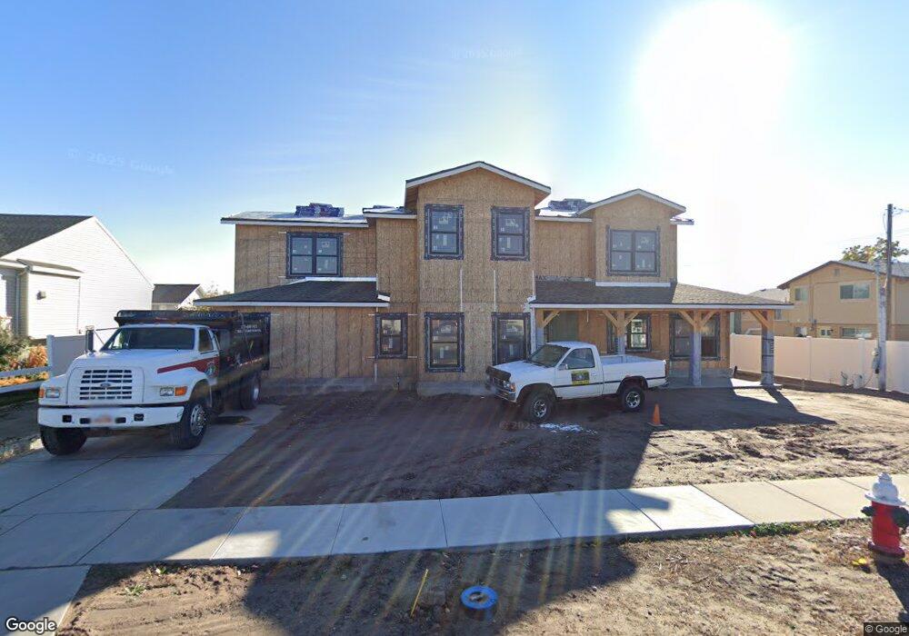
1969 W 2025 S Syracuse, UT 84075
Estimated Value: $442,000 - $666,883
--
Bed
--
Bath
3,130
Sq Ft
$185/Sq Ft
Est. Value
About This Home
This home is located at 1969 W 2025 S, Syracuse, UT 84075 and is currently estimated at $578,971, approximately $184 per square foot. 1969 W 2025 S is a home located in Davis County with nearby schools including Syracuse Elementary School, Syracuse Junior High School, and Syracuse High School.
Ownership History
Date
Name
Owned For
Owner Type
Purchase Details
Closed on
Mar 6, 2017
Sold by
Barrett Jon T
Bought by
Jtb Capital Llc
Current Estimated Value
Purchase Details
Closed on
Jun 15, 2011
Sold by
Washington Federal Savings
Bought by
Barrett Jon T
Purchase Details
Closed on
Oct 22, 2009
Sold by
Sanders Kemp W and Sanders Janet H
Bought by
Washington Federal Savings
Purchase Details
Closed on
Nov 26, 2008
Sold by
Sanders Mill & Design Llc
Bought by
Centennial Bank
Purchase Details
Closed on
Sep 24, 2007
Sold by
Sanders Janet H and Sanders Kemp W
Bought by
Sanders Mill & Design Llc
Purchase Details
Closed on
May 4, 1998
Sold by
Sanders Janet H and Sanders Kemp W
Bought by
Sanders Mill & Design Llc
Create a Home Valuation Report for This Property
The Home Valuation Report is an in-depth analysis detailing your home's value as well as a comparison with similar homes in the area
Home Values in the Area
Average Home Value in this Area
Purchase History
| Date | Buyer | Sale Price | Title Company |
|---|---|---|---|
| Jtb Capital Llc | -- | -- | |
| Barrett Jon T | -- | Security Title Of Dav | |
| Washington Federal Savings | -- | None Available | |
| Centennial Bank | $37,600 | None Available | |
| Sanders Mill & Design Llc | -- | Mountain View Title & Escrow | |
| Sanders Mill & Design Llc | -- | Mountain View Title & Escrow |
Source: Public Records
Tax History Compared to Growth
Tax History
| Year | Tax Paid | Tax Assessment Tax Assessment Total Assessment is a certain percentage of the fair market value that is determined by local assessors to be the total taxable value of land and additions on the property. | Land | Improvement |
|---|---|---|---|---|
| 2025 | $1,667 | $160,846 | $83,098 | $77,748 |
| 2024 | $1,525 | $148,298 | $70,550 | $77,748 |
| 2023 | $1,221 | $118,827 | $54,008 | $64,819 |
| 2022 | $714 | $125,887 | $102,316 | $23,571 |
| 2021 | $1,009 | $83,369 | $83,369 | $0 |
| 2020 | $897 | $71,705 | $71,705 | $0 |
| 2019 | $902 | $71,213 | $71,213 | $0 |
| 2018 | $883 | $69,219 | $69,219 | $0 |
| 2016 | $645 | $48,229 | $48,229 | $0 |
| 2015 | $678 | $48,229 | $48,229 | $0 |
| 2014 | $665 | $48,229 | $48,229 | $0 |
| 2013 | -- | $42,882 | $42,882 | $0 |
Source: Public Records
Map
Nearby Homes
- 2194 S 1800 W
- 2104 W 2200 S
- 2082 S 1730 W
- 2136 W 2200 S
- 2306 S 2000 W
- 1932 S 2150 W
- 2237 Craig Ln
- 2297 W 2175 S
- 2503 S 1875 W
- 4344 W 1825 S Unit 102
- 4354 W 1825 S Unit 104
- 4348 W 1825 S Unit 103
- 2208 W 2615 S Unit 141
- 2198 W 2615 S Unit 140
- 2158 W 2615 S Unit 137
- 2650 S 2000 W
- 1466 Earl Cir
- 1641 S 2350 W Unit B
- 2154 W 2700 S
- 2574 S 2430 W Unit 503