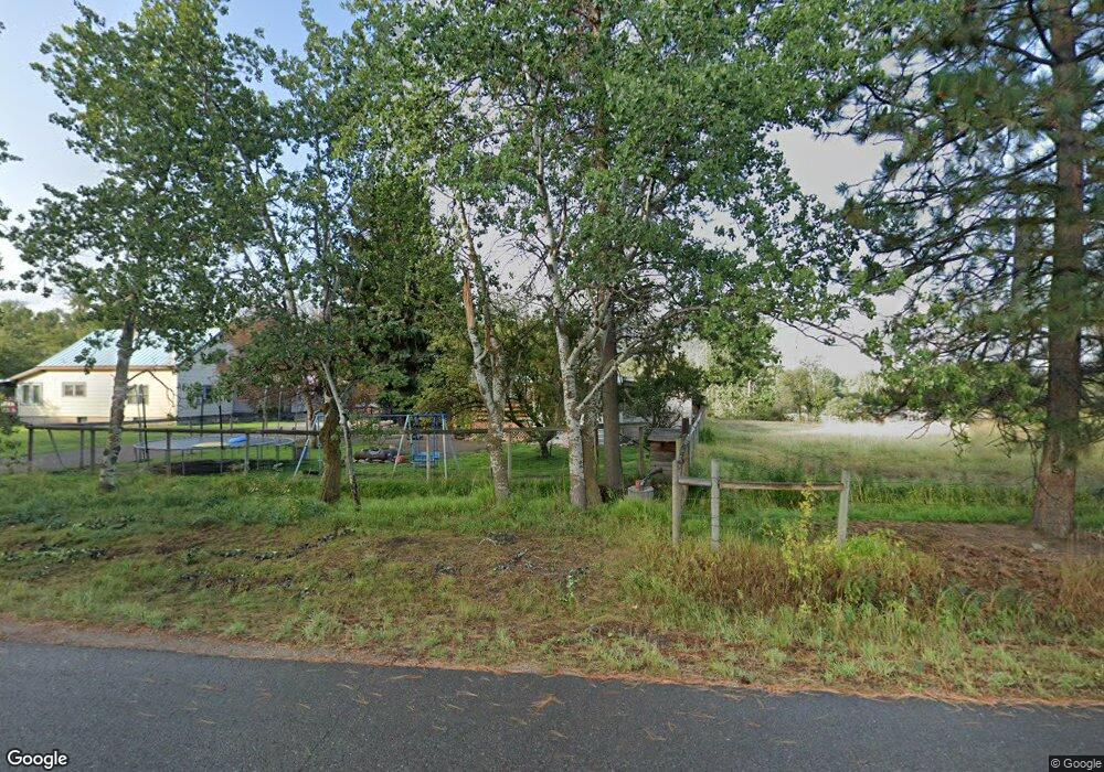
19693 E Mullan Rd Clinton, MT 59825
Clinton NeighborhoodEstimated Value: $451,955 - $536,000
3
Beds
1
Bath
1,467
Sq Ft
$333/Sq Ft
Est. Value
About This Home
This home is located at 19693 E Mullan Rd, Clinton, MT 59825 and is currently estimated at $488,652, approximately $333 per square foot. 19693 E Mullan Rd is a home located in Missoula County with nearby schools including Clinton Elementary School and Sentinel High School.
Create a Home Valuation Report for This Property
The Home Valuation Report is an in-depth analysis detailing your home's value as well as a comparison with similar homes in the area
Home Values in the Area
Average Home Value in this Area
Tax History
| Year | Tax Paid | Tax Assessment Tax Assessment Total Assessment is a certain percentage of the fair market value that is determined by local assessors to be the total taxable value of land and additions on the property. | Land | Improvement |
|---|---|---|---|---|
| 2025 | $1,709 | $378,850 | $177,100 | $201,750 |
| 2024 | $2,594 | $367,100 | $109,600 | $257,500 |
| 2023 | $2,258 | $367,100 | $109,600 | $257,500 |
| 2022 | $1,766 | $230,600 | $0 | $0 |
| 2021 | $2,254 | $230,600 | $0 | $0 |
| 2020 | $1,995 | $193,600 | $0 | $0 |
| 2019 | $1,984 | $193,600 | $0 | $0 |
| 2018 | $1,793 | $182,800 | $0 | $0 |
| 2017 | $1,806 | $182,800 | $0 | $0 |
| 2016 | $1,700 | $182,200 | $0 | $0 |
| 2015 | $1,587 | $182,200 | $0 | $0 |
| 2014 | $1,662 | $107,219 | $0 | $0 |
Source: Public Records
Map
Nearby Homes
- Nhn Us Highway 10 E
- NHN Stitt St
- 11055 Silver St
- 22225 Wallace Creek Rd
- Lot 13 Pamin Loop
- 12407 Hawk Ln
- 25575 Patter Spur Rd S
- Lot 15 Muddler Ct
- Lot 16 Stonefly Rd
- Lot 17 Caddisfly Ct
- Lot 12 Stonefly Rd
- Lot 11 Stonefly Rd
- Lot 9 Stonefly Rd
- 24570 Stonefly Rd
- Lot 2 Caddisfly Ct
- 14297 Caddisfly Ct
- 13505 Turah Rd
- Nhn Bonita Ranger Station Rd
- 27235 Lazy Springs Rd
- 11594 Cattail Way
- 19975 E Mullan Rd
- 19665 E Mullan Rd
- 9200 Clown Ln
- 9222 Clown Ln
- 9078 Clown Ln
- 9060 Clown Ln
- 9244 Clown Ln
- 9266 Clown Ln
- 9050 Clown Ln
- 0 Clown Ln
- 19655 E Mullan Rd
- 9681 Clown Ln
- 20220 Us Highway 10 E
- 20153 E Mullan Rd
- 9710 Clown Ln
- 20350 Us Highway 10 E
- 20100 Us Highway 10 E
- 20060 Us Highway 10 E
- 20360 Us Highway 10 E
- 20320 Us Highway 10 E
Your Personal Tour Guide
Ask me questions while you tour the home.