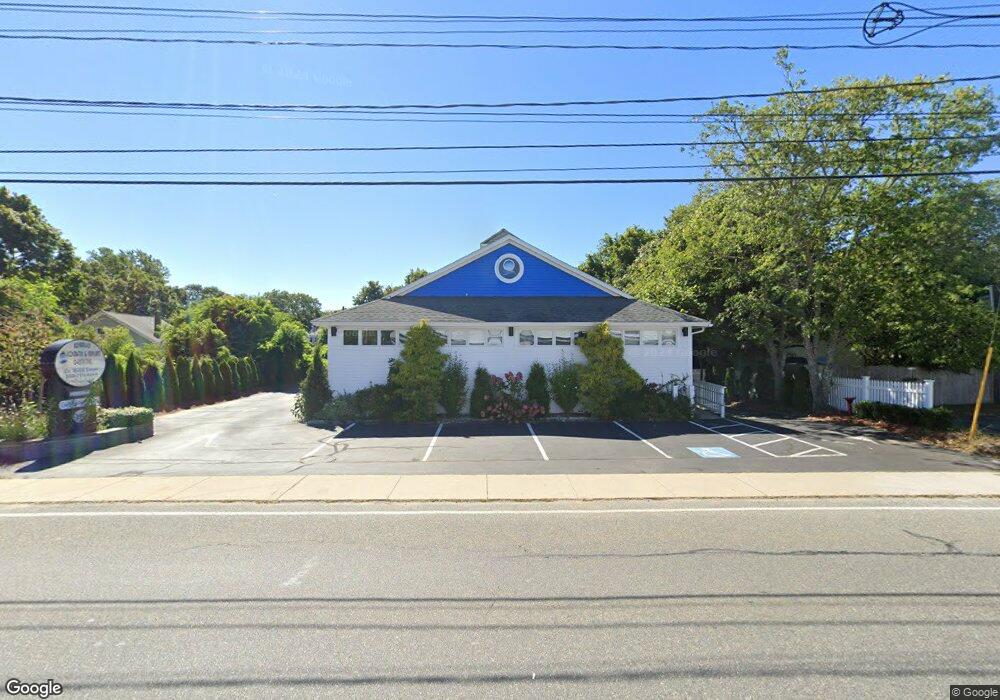
197 Barnstable Rd Hyannis, MA 2601
Estimated Value: $1,168,814
Studio
2
Baths
2,000
Sq Ft
$584/Sq Ft
Est. Value
About This Home
This home is located at 197 Barnstable Rd, Hyannis, MA 2601 and is currently estimated at $1,168,814, approximately $584 per square foot. 197 Barnstable Rd is a home located in Barnstable County with nearby schools including Hyannis West Elementary School, Barnstable United Elementary School, and Barnstable Intermediate School.
Ownership History
Date
Name
Owned For
Owner Type
Purchase Details
Closed on
Aug 6, 2004
Sold by
Freedman Robert A
Bought by
Al-Esrawi Malek H
Current Estimated Value
Home Financials for this Owner
Home Financials are based on the most recent Mortgage that was taken out on this home.
Original Mortgage
$500,000
Outstanding Balance
$251,229
Interest Rate
6.2%
Mortgage Type
Commercial
Estimated Equity
$917,585
Create a Home Valuation Report for This Property
The Home Valuation Report is an in-depth analysis detailing your home's value as well as a comparison with similar homes in the area
Home Values in the Area
Average Home Value in this Area
Purchase History
| Date | Buyer | Sale Price | Title Company |
|---|---|---|---|
| Al-Esrawi Malek H | $580,000 | -- |
Source: Public Records
Mortgage History
| Date | Status | Borrower | Loan Amount |
|---|---|---|---|
| Open | Al-Esrawi Malek H | $500,000 |
Source: Public Records
Tax History
| Year | Tax Paid | Tax Assessment Tax Assessment Total Assessment is a certain percentage of the fair market value that is determined by local assessors to be the total taxable value of land and additions on the property. | Land | Improvement |
|---|---|---|---|---|
| 2025 | $5,593 | $569,000 | $179,600 | $389,400 |
| 2024 | $5,487 | $562,800 | $179,600 | $383,200 |
| 2023 | $5,963 | $567,400 | $179,600 | $387,800 |
| 2022 | $7,263 | $567,400 | $179,600 | $387,800 |
| 2021 | $7,263 | $567,400 | $179,600 | $387,800 |
| 2020 | $6,842 | $519,900 | $159,400 | $360,500 |
| 2019 | $7,019 | $519,900 | $159,400 | $360,500 |
| 2018 | $6,600 | $507,700 | $159,400 | $348,300 |
| 2017 | $6,387 | $507,700 | $159,400 | $348,300 |
| 2016 | $6,235 | $507,700 | $159,400 | $348,300 |
| 2015 | $5,713 | $476,100 | $153,100 | $323,000 |
Source: Public Records
Map
Nearby Homes
- 72 Grove St
- 55 Louis St
- 252 Hinckley Rd
- 68 Center St Unit 13
- 8 Jasmine Ln
- 35 Pleasant St
- 22 Terry Ct
- 97 Bassett Ln
- 78 Bristol Ave
- 83 Main St
- 115 School St Unit W206
- 10 Hiramar Rd Unit 10-12
- 110 School St Unit E113
- 10-12 Hiramar
- 287 Ocean St Unit C2
- 287 Ocean St Unit 2 BLDG C
- 138 Chase St
- 292 Megan Rd
- 125 Sea St
- 25 Ripple Cove Rd
- 191 Barnstable Rd
- 199 Barnstable Rd
- 187 Barnstable Rd
- 114 Grove St
- 183 Barnstable Rd
- 208 Barnstable Rd
- 179 Barnstable Rd
- 223 Barnstable Rd Unit 233-1
- 223 Barnstable Rd Unit 251-1
- 223 Barnstable Rd Unit 261-1
- 108 Grove St
- 125 Grove St
- 223 Barnstable Rd
- 181 Barnstable Rd
- 210 Barnstable Rd Unit 2 A
- 139 Grove St
- 111 Grove St
- 185 Barnstable Rd
- 100 Grove St
- 163 Barnstable Rd
Your Personal Tour Guide
Ask me questions while you tour the home.