Estimated Value: $429,734 - $437,000
--
Bed
2
Baths
2,196
Sq Ft
$197/Sq Ft
Est. Value
About This Home
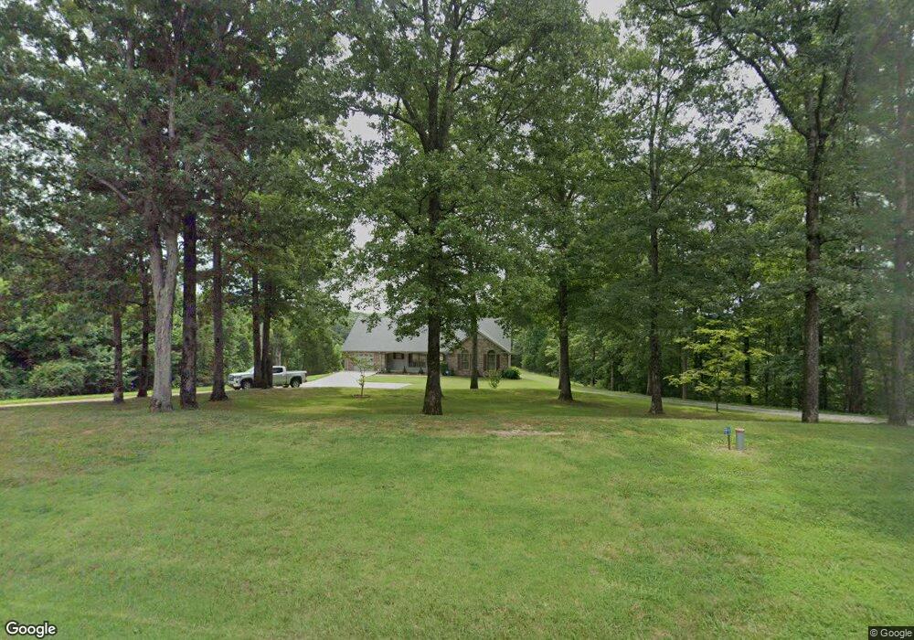
This home is located at 197 Boat Dock Rd, Dover, TN 37058 and is currently estimated at $433,367, approximately $197 per square foot. 197 Boat Dock Rd is a home located in Stewart County with nearby schools including Dover Elementary School, Stewart County Middle School, and Stewart County High School.
Ownership History
Date
Name
Owned For
Owner Type
Purchase Details
Closed on
Sep 19, 1995
Bought by
Mauldin George R and Mauldin Kathleen L
Current Estimated Value
Purchase Details
Closed on
Feb 27, 1990
Bought by
Griffith Stuart and Griffith Beulah
Purchase Details
Closed on
Apr 14, 1989
Bought by
Brown David A and Brown Vickie L
Purchase Details
Closed on
Mar 8, 1989
Bought by
Mcnees Hilda
Purchase Details
Closed on
Jan 29, 1988
Bought by
Bogard Ed
Create a Home Valuation Report for This Property
The Home Valuation Report is an in-depth analysis detailing your home's value as well as a comparison with similar homes in the area
Home Values in the Area
Average Home Value in this Area
Purchase History
| Date | Buyer | Sale Price | Title Company |
|---|---|---|---|
| Mauldin George R | $20,000 | -- | |
| Griffith Stuart | $12,000 | -- | |
| Brown David A | $14,500 | -- | |
| Mcnees Hilda | $2,500 | -- | |
| Bogard Ed | -- | -- |
Source: Public Records
Tax History Compared to Growth
Tax History
| Year | Tax Paid | Tax Assessment Tax Assessment Total Assessment is a certain percentage of the fair market value that is determined by local assessors to be the total taxable value of land and additions on the property. | Land | Improvement |
|---|---|---|---|---|
| 2024 | $1,384 | $93,100 | $8,450 | $84,650 |
| 2023 | $1,326 | $56,150 | $6,275 | $49,875 |
| 2022 | $1,326 | $56,150 | $6,275 | $49,875 |
| 2021 | $1,326 | $56,150 | $6,275 | $49,875 |
| 2020 | $1,387 | $56,150 | $6,275 | $49,875 |
| 2019 | $1,387 | $54,425 | $5,775 | $48,650 |
| 2018 | $1,387 | $54,425 | $5,775 | $48,650 |
| 2017 | $1,387 | $54,425 | $5,775 | $48,650 |
| 2016 | $1,387 | $54,425 | $5,775 | $48,650 |
| 2015 | $1,344 | $54,425 | $5,775 | $48,650 |
| 2014 | $1,374 | $54,425 | $5,775 | $48,650 |
| 2013 | $1,374 | $55,627 | $0 | $0 |
Source: Public Records
Map
Nearby Homes
- 154 Crains Landing Rd
- 108 Petty St
- 135 Bagsby Hill Ln
- 129 Bagsby Hill Ln
- 419 Church St
- 544 E Church St
- 130 Shane Lee Cir
- 232 Church St
- 106 Rose Dr
- 123 Rose Dr
- 105 Rose Dr
- 241 Castle Ln
- 247 Castle Ln
- 1 Church St
- 254 Shane Lee Cir
- 165 Trin Hill Dr
- 29 Long Creek Estates
- 210 Patrick Dr
- 105 General Rice St
- Donelson Pkwy Rt 79 and 232
- 276 Crains Landing Rd
- 148 Old Highway 79 Unit 148
- 314 Hwy 79
- 154 Old Highway 79 Unit 154
- 268 Crains Landing Rd
- 333 Highway 79
- 337 Hwy 79
- 136 Old Highway 79 Unit 136
- 337 Highway 79
- 168 Old Highway 79
- 120 Old Highway 79
- 0 Old Highway 79 Unit 1837535
- 0 Old Highway 79
- 0 Old Highway 79 Unit 125492
- 0 Old Highway 79 Unit RTC2648491
- 0 Old Highway 79 Unit 2246658
- 0 Old Highway 79 Unit 2122071
- 183 Old Highway 79 Unit 183
- 189 Old Highway 79
- 127 Old Highway 79