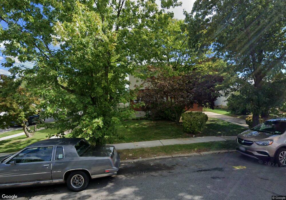
197 Brookfield Ave Staten Island, NY 10308
Great Kills NeighborhoodEstimated Value: $688,000 - $747,000
3
Beds
2
Baths
1,088
Sq Ft
$660/Sq Ft
Est. Value
About This Home
This home is located at 197 Brookfield Ave, Staten Island, NY 10308 and is currently estimated at $718,377, approximately $660 per square foot. 197 Brookfield Ave is a home located in Richmond County with nearby schools including P.S. 32 The Gifford School, Myra S. Barnes Intermediate School 24, and Susan E Wagner High School.
Ownership History
Date
Name
Owned For
Owner Type
Purchase Details
Closed on
Aug 30, 1999
Sold by
Commander Stephen and Commander Diana
Bought by
Abrams Neal and Abrams Barbara A
Current Estimated Value
Home Financials for this Owner
Home Financials are based on the most recent Mortgage that was taken out on this home.
Original Mortgage
$179,900
Interest Rate
7.76%
Mortgage Type
Purchase Money Mortgage
Create a Home Valuation Report for This Property
The Home Valuation Report is an in-depth analysis detailing your home's value as well as a comparison with similar homes in the area
Home Values in the Area
Average Home Value in this Area
Purchase History
| Date | Buyer | Sale Price | Title Company |
|---|---|---|---|
| Abrams Neal | $190,000 | Fidelity National Title Ins |
Source: Public Records
Mortgage History
| Date | Status | Borrower | Loan Amount |
|---|---|---|---|
| Previous Owner | Abrams Neal | $179,900 |
Source: Public Records
Tax History Compared to Growth
Tax History
| Year | Tax Paid | Tax Assessment Tax Assessment Total Assessment is a certain percentage of the fair market value that is determined by local assessors to be the total taxable value of land and additions on the property. | Land | Improvement |
|---|---|---|---|---|
| 2025 | $6,444 | $39,180 | $11,665 | $27,515 |
| 2024 | $6,456 | $38,340 | $11,685 | $26,655 |
| 2023 | $6,131 | $31,590 | $10,375 | $21,215 |
| 2022 | $5,685 | $36,600 | $13,380 | $23,220 |
| 2021 | $5,687 | $32,760 | $13,380 | $19,380 |
| 2020 | $5,729 | $31,320 | $13,380 | $17,940 |
| 2019 | $5,544 | $32,820 | $13,380 | $19,440 |
| 2018 | $5,069 | $26,325 | $12,625 | $13,700 |
| 2017 | $4,782 | $24,930 | $12,138 | $12,792 |
| 2016 | $4,432 | $23,720 | $11,807 | $11,913 |
| 2015 | $4,157 | $23,720 | $9,761 | $13,959 |
| 2014 | $4,157 | $23,252 | $10,574 | $12,678 |
Source: Public Records
Map
Nearby Homes
- 271 Doane Ave
- 259 Brookfield Ave
- 307 Abingdon Ave
- 248 Abingdon Ave
- 223 Abingdon Ave
- 339 Abingdon Ave
- 63 Genesee Ave
- 360 Barlow Ave Unit 32
- 65 E Scranton Ave
- 919 Armstrong Ave
- 200 Giffords Ln
- 151 Abingdon Ave
- 414 Elverton Ave
- 24 E Augusta Ave
- 15 Woodland Ave
- 12 Lexington Ln
- 72 Eric Ln
- 924 Armstrong Ave Unit 2-3
- 115 Abingdon Ave
- 275 Katan Ave
- 193 Brookfield Ave
- 189 Brookfield Ave
- 280 Colon Ave
- 209 Brookfield Ave
- 276 Colon Ave
- 290 Colon Ave
- 211 Brookfield Ave
- 360 Leverett Ave
- 272 Colon Ave
- 292 Colon Ave
- 181 Brookfield Ave
- 186 Brookfield Ave
- 268 Colon Ave
- 217 Brookfield Ave
- 184 Brookfield Ave
- 296 Colon Ave
- 182 Brookfield Ave
- 364 Leverett Ave
- 177 Brookfield Ave
- 210 Brookfield Ave