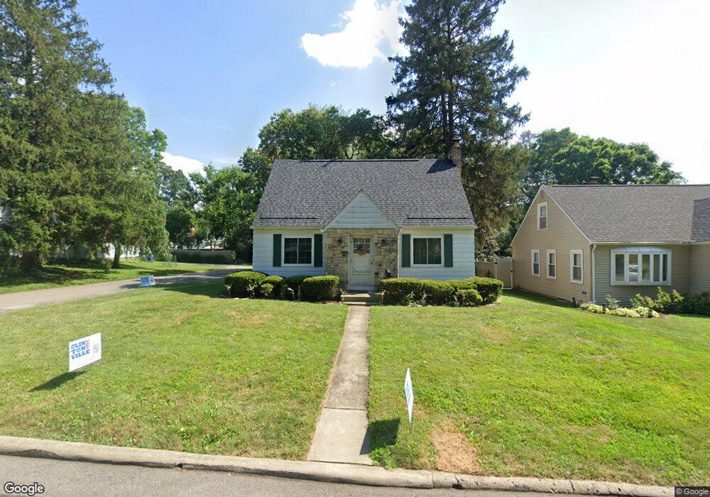
197 Deland Ave Columbus, OH 43214
Clintonville NeighborhoodEstimated Value: $448,315 - $511,000
3
Beds
2
Baths
1,339
Sq Ft
$355/Sq Ft
Est. Value
About This Home
This home is located at 197 Deland Ave, Columbus, OH 43214 and is currently estimated at $475,579, approximately $355 per square foot. 197 Deland Ave is a home located in Franklin County with nearby schools including Indian Springs Elementary School, Dominion Middle School, and Whetstone High School.
Ownership History
Date
Name
Owned For
Owner Type
Purchase Details
Closed on
Oct 5, 1992
Bought by
Damron Rickie M
Current Estimated Value
Purchase Details
Closed on
Jun 1, 1986
Create a Home Valuation Report for This Property
The Home Valuation Report is an in-depth analysis detailing your home's value as well as a comparison with similar homes in the area
Home Values in the Area
Average Home Value in this Area
Purchase History
| Date | Buyer | Sale Price | Title Company |
|---|---|---|---|
| Damron Rickie M | $75,000 | -- | |
| -- | -- | -- |
Source: Public Records
Tax History Compared to Growth
Tax History
| Year | Tax Paid | Tax Assessment Tax Assessment Total Assessment is a certain percentage of the fair market value that is determined by local assessors to be the total taxable value of land and additions on the property. | Land | Improvement |
|---|---|---|---|---|
| 2024 | $5,900 | $131,460 | $55,440 | $76,020 |
| 2023 | $5,824 | $131,460 | $55,440 | $76,020 |
| 2022 | $5,488 | $105,810 | $27,060 | $78,750 |
| 2021 | $5,697 | $105,810 | $27,060 | $78,750 |
| 2020 | $5,505 | $105,810 | $27,060 | $78,750 |
| 2019 | $5,084 | $83,800 | $21,670 | $62,130 |
| 2018 | $4,325 | $83,800 | $21,670 | $62,130 |
| 2017 | $5,080 | $83,800 | $21,670 | $62,130 |
| 2016 | $3,939 | $59,470 | $20,130 | $39,340 |
| 2015 | $3,576 | $59,470 | $20,130 | $39,340 |
| 2014 | $3,585 | $59,470 | $20,130 | $39,340 |
| 2013 | $1,608 | $54,075 | $18,305 | $35,770 |
Source: Public Records
Map
Nearby Homes
- 221 Deland Ave
- 220 Ceramic Dr
- 4415 Aldrich Place
- 111 W Henderson Rd
- 4466 Olentangy Blvd
- 4464 Zeller Rd
- 142 W Schreyer Place
- 49 W Henderson Rd
- 26 E Schreyer Place
- 125 Sheffield Rd
- 197 E Cooke Rd
- 128 Blenheim Rd
- 156 E Weisheimer Rd
- 713 Marburn Dr
- 3726 N High St
- 340 Canyon Dr S
- 652 Olde Towne Ave Unit 9-652E
- 652 Olde Towne Ave Unit 9-652 G
- 255 Garden Rd
- 4 W Royal Forest Blvd
- 203 Deland Ave
- 181 Deland Ave
- 209 Deland Ave
- 175 Deland Ave
- 215 Deland Ave
- 4283 Zeller Rd
- 202 Deland Ave
- 200 Westwood Rd
- 167 Deland Ave
- 206 Westwood Rd
- 4282 Zeller Rd
- 208 Deland Ave
- 188 Westwood Rd
- 214 Westwood Rd
- 176 Deland Ave
- 216 Deland Ave
- 182 Westwood Rd
- 220 Westwood Rd
- 227 Deland Ave
- 161 Deland Ave