197 Maple Ln New London, NH 03257
Estimated Value: $1,275,020 - $1,750,000
5
Beds
3
Baths
4,411
Sq Ft
$328/Sq Ft
Est. Value
About This Home
This home is located at 197 Maple Ln, New London, NH 03257 and is currently estimated at $1,448,673, approximately $328 per square foot. 197 Maple Ln is a home located in Merrimack County with nearby schools including Kearsarge Elementary School - New London, Kearsarge Regional Middle School, and Kearsarge Regional High School.
Ownership History
Date
Name
Owned For
Owner Type
Purchase Details
Closed on
Jul 9, 2020
Sold by
4 Hunting Brook Road Nt and Murray
Bought by
Tatum Christopher B and Tatum Nancy
Current Estimated Value
Purchase Details
Closed on
Apr 3, 2002
Sold by
Joan C Evans T
Bought by
Perkins Pamela
Home Financials for this Owner
Home Financials are based on the most recent Mortgage that was taken out on this home.
Original Mortgage
$290,000
Interest Rate
6.85%
Create a Home Valuation Report for This Property
The Home Valuation Report is an in-depth analysis detailing your home's value as well as a comparison with similar homes in the area
Home Values in the Area
Average Home Value in this Area
Purchase History
| Date | Buyer | Sale Price | Title Company |
|---|---|---|---|
| Tatum Christopher B | $310,000 | None Available | |
| Tatum Christopher B | $310,000 | None Available | |
| Perkins Pamela | $366,000 | -- |
Source: Public Records
Mortgage History
| Date | Status | Borrower | Loan Amount |
|---|---|---|---|
| Previous Owner | Perkins Pamela | $290,000 |
Source: Public Records
Tax History Compared to Growth
Tax History
| Year | Tax Paid | Tax Assessment Tax Assessment Total Assessment is a certain percentage of the fair market value that is determined by local assessors to be the total taxable value of land and additions on the property. | Land | Improvement |
|---|---|---|---|---|
| 2024 | $14,050 | $1,210,200 | $233,800 | $976,400 |
| 2023 | $13,082 | $1,210,200 | $233,800 | $976,400 |
| 2022 | $14,583 | $919,500 | $148,800 | $770,700 |
| 2021 | $14,151 | $919,500 | $148,800 | $770,700 |
| 2020 | $6,959 | $920,300 | $148,800 | $771,500 |
| 2019 | $13,538 | $920,300 | $148,800 | $771,500 |
| 2018 | $6,691 | $856,000 | $158,200 | $697,800 |
| 2017 | $13,705 | $856,000 | $158,200 | $697,800 |
| 2016 | $5,906 | $856,000 | $158,200 | $697,800 |
| 2015 | $13,146 | $850,900 | $158,200 | $692,700 |
| 2014 | $13,027 | $850,900 | $158,200 | $692,700 |
| 2013 | -- | $841,700 | $158,200 | $683,500 |
Source: Public Records
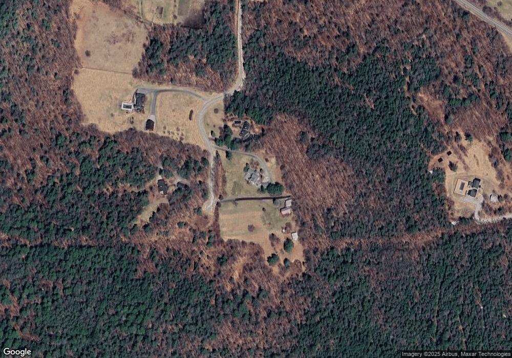
Map
Nearby Homes
- 0 Summit Rd Unit 431
- 273 Forest Acres Rd
- 106-23 Fieldstone Ln
- 00 Mountainside Dr Unit 183
- 158 Quail Run
- 37 Baker Hill Rd
- 617 & 619 Route 103a Map 91 Lot 37 38
- 000 Farwell Ln Unit 17
- 91 Chalk Pond Rd
- 10 Highland Ridge Rd
- 195 Pine Hill Rd
- 0 Newport Rd Unit 10
- 27 Pipers Glen
- 385 Seamans Rd
- Lower Crest Rd
- 344 Chalk Pond Rd
- 295 Andover Rd
- 25 Hilltop Dr
- 81 Gerald Dr
- 0 Fairway Ln Unit 8
- 193 Maple Ln
- 193 Maple Ln Unit Garage apt
- 227 Maple Ln
- 216 Maple Ln
- 170 Maple Ln
- 30 Maple Ln
- 0 Maple Ln
- 1143 King Hill Rd
- 1205 King Hill Rd
- 43 Maple Ln
- 1194 King Hill Rd
- 1405 King Hill Rd
- 1216 King Hill Rd
- 1383 King Hill Rd
- 1261 King Hill Rd
- 18 Stone House Rd
- 00 Stonehouse Rd
- 0 Stonehouse Rd
- 0 Stonehouse Rd Unit 4482683
- 0 Stonehouse Rd Unit 4775160