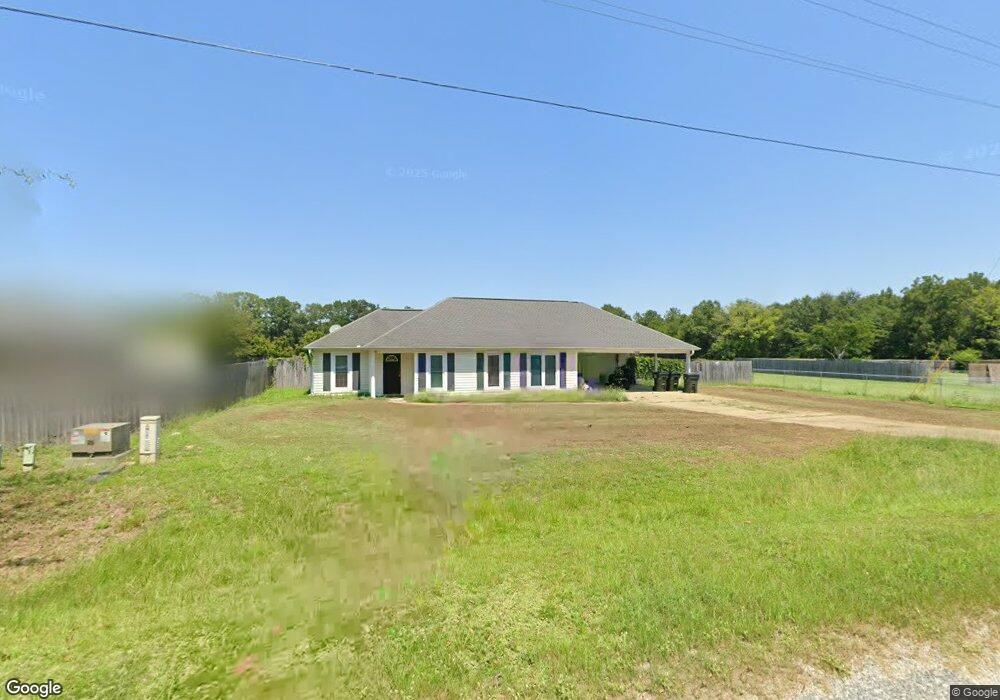
197 Mclendon Rd Fort Mitchell, AL 36856
Estimated Value: $215,000 - $247,000
4
Beds
2
Baths
1,416
Sq Ft
$163/Sq Ft
Est. Value
About This Home
This home is located at 197 Mclendon Rd, Fort Mitchell, AL 36856 and is currently estimated at $231,472, approximately $163 per square foot. 197 Mclendon Rd is a home located in Russell County with nearby schools including Russell County Middle School and Russell County High School.
Ownership History
Date
Name
Owned For
Owner Type
Purchase Details
Closed on
May 19, 2021
Bought by
Patterson Muriel
Current Estimated Value
Purchase Details
Closed on
Nov 14, 2011
Sold by
Cernich Joey L and Cernich Stephanie
Bought by
Champange Patrick R
Home Financials for this Owner
Home Financials are based on the most recent Mortgage that was taken out on this home.
Original Mortgage
$135,750
Interest Rate
4.17%
Mortgage Type
Purchase Money Mortgage
Purchase Details
Closed on
Feb 27, 2009
Sold by
Village Green Properties Llc
Bought by
Cernich Joey L
Home Financials for this Owner
Home Financials are based on the most recent Mortgage that was taken out on this home.
Original Mortgage
$129,021
Interest Rate
5.14%
Mortgage Type
Stand Alone First
Create a Home Valuation Report for This Property
The Home Valuation Report is an in-depth analysis detailing your home's value as well as a comparison with similar homes in the area
Home Values in the Area
Average Home Value in this Area
Purchase History
| Date | Buyer | Sale Price | Title Company |
|---|---|---|---|
| Patterson Muriel | $160,000 | -- | |
| Champange Patrick R | -- | -- | |
| Cernich Joey L | -- | -- |
Source: Public Records
Mortgage History
| Date | Status | Borrower | Loan Amount |
|---|---|---|---|
| Previous Owner | Champange Patrick R | $135,750 | |
| Previous Owner | Cernich Joey L | $129,021 |
Source: Public Records
Tax History Compared to Growth
Tax History
| Year | Tax Paid | Tax Assessment Tax Assessment Total Assessment is a certain percentage of the fair market value that is determined by local assessors to be the total taxable value of land and additions on the property. | Land | Improvement |
|---|---|---|---|---|
| 2024 | $50 | $16,230 | $2,610 | $13,620 |
| 2023 | $50 | $15,463 | $2,610 | $12,853 |
| 2022 | $50 | $13,662 | $2,610 | $11,052 |
| 2021 | $446 | $12,388 | $1,700 | $10,688 |
| 2020 | $426 | $11,820 | $1,700 | $10,120 |
| 2019 | $412 | $11,440 | $1,780 | $9,660 |
| 2018 | $356 | $11,280 | $1,780 | $9,500 |
| 2017 | $846 | $10,740 | $1,700 | $9,040 |
| 2016 | $846 | $22,100 | $3,400 | $18,700 |
| 2015 | $801 | $11,114 | $1,725 | $9,389 |
| 2014 | $772 | $10,722 | $1,500 | $9,222 |
Source: Public Records
Map
Nearby Homes
- 195 Mclendon Rd
- 201 Mclendon Rd
- 359 Owens Rd
- 357 Owens Rd
- 196 Mclendon Rd Unit A
- 203 Mclendon Rd
- 355 Owens Rd
- 353 Owens Rd
- 351 Owens Rd
- 207 Mclendon Rd
- 4 Eagle Ridge Ct
- 4 Eagle Ridge Ln
- 2 Eagle Ridge Ct
- 14 Eagle Ridge Ln
- 18 Co E S of Rd
- 378 Owens Rd
- 380 Owens Rd
- 323 Owens Rd
- 327 Owens Rd
- 347 Owens Rd