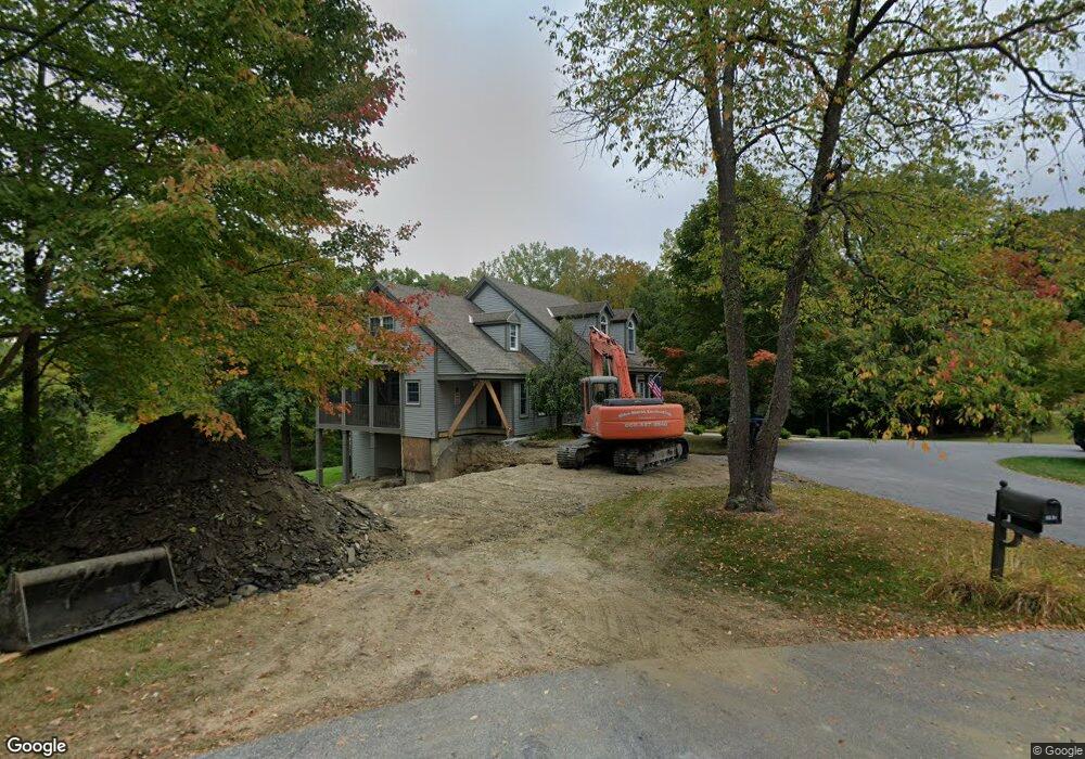
197 Meadow Brook Dr Bennington, VT 05201
Estimated Value: $671,027 - $780,000
3
Beds
3
Baths
2,759
Sq Ft
$260/Sq Ft
Est. Value
About This Home
This home is located at 197 Meadow Brook Dr, Bennington, VT 05201 and is currently estimated at $718,257, approximately $260 per square foot. 197 Meadow Brook Dr is a home located in Bennington County with nearby schools including Bennington Elementary School, Mt. Anthony Union Middle School, and Mt. Anthony Union High School.
Ownership History
Date
Name
Owned For
Owner Type
Purchase Details
Closed on
Nov 8, 2024
Sold by
Silverberg Michael and Silverberg Nicole
Bought by
Rosier Paige and Rosier Joaquin R
Current Estimated Value
Purchase Details
Closed on
May 5, 2023
Sold by
Toomey Brian and Toomey Mari-Lynn
Bought by
Silverberg Michael and Silverberg Nicole
Purchase Details
Closed on
Apr 30, 2021
Sold by
Pappas Amanda L and Pappas Philip A
Bought by
Toomey Brian and Toomey Mari-Lynn
Purchase Details
Closed on
Dec 16, 2011
Sold by
Chenaille Scott L and Chenaille Wendy S
Bought by
Pappas Philip and Pappas Amanda L
Create a Home Valuation Report for This Property
The Home Valuation Report is an in-depth analysis detailing your home's value as well as a comparison with similar homes in the area
Home Values in the Area
Average Home Value in this Area
Purchase History
| Date | Buyer | Sale Price | Title Company |
|---|---|---|---|
| Rosier Paige | $655,000 | -- | |
| Silverberg Michael | $657,500 | -- | |
| Silverberg Michael | $657,500 | -- | |
| Silverberg Michael | $657,500 | -- | |
| Toomey Brian | $580,000 | -- | |
| Toomey Brian | $580,000 | -- | |
| Toomey Brian | $580,000 | -- | |
| Pappas Philip | $360,000 | -- | |
| Pappas Philip | $360,000 | -- |
Source: Public Records
Tax History
| Year | Tax Paid | Tax Assessment Tax Assessment Total Assessment is a certain percentage of the fair market value that is determined by local assessors to be the total taxable value of land and additions on the property. | Land | Improvement |
|---|---|---|---|---|
| 2024 | $13,263 | $377,000 | $71,600 | $305,400 |
| 2023 | $12,351 | $377,000 | $71,600 | $305,400 |
| 2022 | $9,606 | $377,000 | $71,600 | $305,400 |
| 2021 | $8,683 | $377,000 | $71,600 | $305,400 |
| 2020 | $8,662 | $377,000 | $71,600 | $305,400 |
| 2019 | $8,236 | $377,000 | $71,600 | $305,400 |
| 2018 | $8,047 | $374,600 | $71,600 | $303,000 |
| 2017 | $9,512 | $374,600 | $71,600 | $303,000 |
| 2016 | $8,006 | $374,600 | $71,600 | $303,000 |
| 2015 | -- | $3,746 | $0 | $0 |
| 2014 | -- | $3,746 | $0 | $0 |
| 2013 | -- | $3,746 | $0 | $0 |
Source: Public Records
Map
Nearby Homes
- 706 Jefferson Heights
- 341 Dewey St
- 89 Merson St
- 103 Norton St
- 124 Elm St
- 308 Elm St
- 239 - 241 Elm St
- 235 Elm St Unit 3
- 112 Norton St
- 126 Washington Ave
- 134 Monument Ave
- 207 Silver St
- 224 Union St
- 318 Chester Knoll Dr
- 113 Main St
- 328 Chester Knoll Dr
- 626 Main St
- 254 Union St
- 682 Fox Hill Rd
- 704 Fox Hill Rd
- 197 Meadow Brook Dr
- 197 Meadowbrook Dr
- 218 Meadow Brook Dr
- 219 Meadow Brook Dr
- 220 Meadow Brook Dr
- 190 Meadowbrook Dr
- 177 Meadow Brook Dr
- 190 Meadow Brook Dr
- 219 Meadow Brook Dr
- 142 Blackberry Ln
- 143 Blackberry Ln
- 1704 Monument Ave
- 88 Meadow Brook Dr
- 45 Garden St
- 54 Meadow Brook Dr
- 140 Blackberry Ln
- 1730 Monument Ave
- 21 Stonehedge Dr
- 17 Stonehedge Dr
- 75 Meadow Brook Dr
Your Personal Tour Guide
Ask me questions while you tour the home.