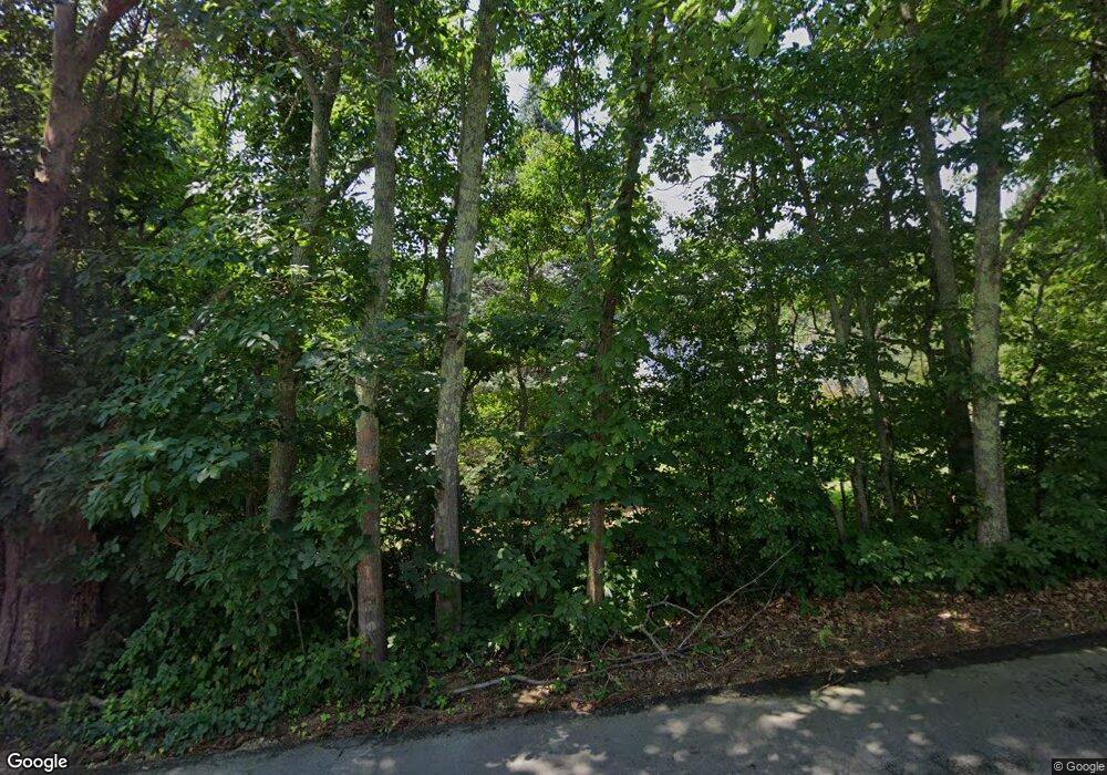
197 Mitchell Rd Nottingham, NH 03290
Estimated Value: $509,310 - $581,000
2
Beds
3
Baths
1,606
Sq Ft
$337/Sq Ft
Est. Value
About This Home
This home is located at 197 Mitchell Rd, Nottingham, NH 03290 and is currently estimated at $541,578, approximately $337 per square foot. 197 Mitchell Rd is a home located in Rockingham County with nearby schools including Nottingham Elementary School and Live & Learn at Mast Way Elementary School.
Ownership History
Date
Name
Owned For
Owner Type
Purchase Details
Closed on
Aug 25, 2003
Sold by
Garvin William N and Garvin Dorothy K
Bought by
Brown Neil J and Brown Maureen K
Current Estimated Value
Home Financials for this Owner
Home Financials are based on the most recent Mortgage that was taken out on this home.
Original Mortgage
$175,000
Outstanding Balance
$77,142
Interest Rate
5.52%
Estimated Equity
$464,436
Create a Home Valuation Report for This Property
The Home Valuation Report is an in-depth analysis detailing your home's value as well as a comparison with similar homes in the area
Home Values in the Area
Average Home Value in this Area
Purchase History
| Date | Buyer | Sale Price | Title Company |
|---|---|---|---|
| Brown Neil J | $225,000 | -- |
Source: Public Records
Mortgage History
| Date | Status | Borrower | Loan Amount |
|---|---|---|---|
| Open | Brown Neil J | $175,000 |
Source: Public Records
Tax History
| Year | Tax Paid | Tax Assessment Tax Assessment Total Assessment is a certain percentage of the fair market value that is determined by local assessors to be the total taxable value of land and additions on the property. | Land | Improvement |
|---|---|---|---|---|
| 2024 | $6,459 | $315,700 | $129,600 | $186,100 |
| 2023 | $6,769 | $315,700 | $129,600 | $186,100 |
| 2022 | $6,033 | $315,700 | $129,600 | $186,100 |
| 2021 | $6,007 | $309,300 | $129,600 | $179,700 |
| 2020 | $5,802 | $309,300 | $129,600 | $179,700 |
| 2019 | $5,121 | $227,600 | $84,700 | $142,900 |
| 2018 | $5,153 | $227,600 | $84,700 | $142,900 |
| 2017 | $4,768 | $227,600 | $84,700 | $142,900 |
| 2016 | $4,700 | $227,600 | $84,700 | $142,900 |
| 2015 | $4,560 | $224,200 | $84,700 | $139,500 |
| 2014 | $4,591 | $210,400 | $68,400 | $142,000 |
| 2013 | $4,534 | $210,400 | $68,400 | $142,000 |
Source: Public Records
Map
Nearby Homes
- 19 Autumn Ln
- 373 Calef Hwy
- 17 Elm Ct
- 3 Federal Hill Ln
- 39 Mast Rd
- Lot 1N-7 Lipizzan Dr
- 383 Emerald Dr
- 00 Old Concord Turnpike Us Rt 4 Rd Unit 2
- 366 Old Concord Turnpike
- 5 Mcdaniel Rd
- 454 Calef Hwy
- 2 Caverno Dr
- 152 S Summer St
- 2 Toon Ln
- Lot 70 Homestead Ln
- 25 Revolutionary Ln
- 555 Calef Hwy
- 384 N River Rd
- 0 Old Turnpike Rd Unit 1
- 260-262 Mast Rd
- 196 Mitchell Rd
- 195 Mitchell Rd
- 201 Mitchell Rd
- 193 Mitchell Rd
- 72 Case Rd
- 203 Mitchell Rd
- 288 Steppingstone Rd
- 284 Steppingstone Rd
- 191 Mitchell Rd
- 70 Case Rd
- 284 Stepping Stones Rd
- 71 Case Rd
- 35 Mitchell Rd
- 295 Steppingstones Rd
- 187 Mitchell Rd
- 31 Mitchell Rd
- 68 Case Rd
- 289 Steppingstones Rd
- 278 Steppingstone Rd
- 185 Mitchell Rd
Your Personal Tour Guide
Ask me questions while you tour the home.
