197 Pond Ln Tennessee Ridge, TN 37178
Estimated Value: $217,000 - $247,000
--
Bed
2
Baths
1,201
Sq Ft
$188/Sq Ft
Est. Value
About This Home
This home is located at 197 Pond Ln, Tennessee Ridge, TN 37178 and is currently estimated at $225,801, approximately $188 per square foot. 197 Pond Ln is a home located in Stewart County with nearby schools including Dover Elementary School, Stewart County Middle School, and Stewart County High School.
Ownership History
Date
Name
Owned For
Owner Type
Purchase Details
Closed on
Jan 10, 2019
Sold by
Campbell Jamie Lynn
Bought by
Proffitt Sherman M and Proffitt Nedra Ann
Current Estimated Value
Purchase Details
Closed on
Oct 30, 2002
Bought by
Campbell Jamie
Purchase Details
Closed on
Jun 7, 2001
Bought by
Sylvester Shannon C
Purchase Details
Closed on
Aug 23, 2000
Bought by
Sipe Jamie Lynn
Purchase Details
Closed on
May 15, 1984
Create a Home Valuation Report for This Property
The Home Valuation Report is an in-depth analysis detailing your home's value as well as a comparison with similar homes in the area
Home Values in the Area
Average Home Value in this Area
Purchase History
| Date | Buyer | Sale Price | Title Company |
|---|---|---|---|
| Proffitt Sherman M | $115,000 | -- | |
| Campbell Jamie | -- | -- | |
| Sylvester Shannon C | -- | -- | |
| Sipe Jamie Lynn | -- | -- | |
| -- | -- | -- |
Source: Public Records
Tax History Compared to Growth
Tax History
| Year | Tax Paid | Tax Assessment Tax Assessment Total Assessment is a certain percentage of the fair market value that is determined by local assessors to be the total taxable value of land and additions on the property. | Land | Improvement |
|---|---|---|---|---|
| 2024 | $661 | $44,500 | $11,300 | $33,200 |
| 2023 | $641 | $27,150 | $7,550 | $19,600 |
| 2022 | $641 | $27,150 | $7,550 | $19,600 |
| 2021 | $641 | $27,150 | $7,550 | $19,600 |
| 2020 | $668 | $27,150 | $7,550 | $19,600 |
| 2019 | $668 | $26,225 | $7,550 | $18,675 |
| 2018 | $668 | $26,225 | $7,550 | $18,675 |
| 2017 | $668 | $26,225 | $7,550 | $18,675 |
| 2016 | $668 | $26,225 | $7,550 | $18,675 |
| 2015 | $648 | $26,225 | $7,550 | $18,675 |
| 2014 | $639 | $26,725 | $7,550 | $19,175 |
| 2013 | $639 | $25,881 | $0 | $0 |
Source: Public Records
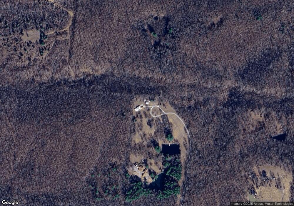
Map
Nearby Homes
- 1950 Old Stewart Rd
- 0 Old Lockhart Rd
- 0 Carl Taylor Rd
- 0 Taylor Cir Unit RTC2764401
- 0 Taylor Cir Unit RTC2764358
- 0 Taylor Cir Unit RTC2764385
- 0 Taylor Cir Unit RTC2764390
- 0 Les Ferrell Rd
- 0 Taylor St Unit RTC2764409
- 0 Taylor St Unit RTC2764404
- 0 Taylor St Unit RTC2764411
- 0 Taylor St Unit RTC2764420
- 0 Taylor St Unit RTC2764418
- 0 Taylor St Unit RTC2764423
- 0 Taylor St Unit RTC2764415
- 193 A W Schmidt Rd
- 745 Moore Hollow Rd
- 110 Peachtree St
- 550 Lakeview Cir
- 155 Rolling Hills Dr
- 147 Pond Ln
- 3015 Old Stewart Rd
- 0 Pond Ln
- 2564 Old Stewart Rd
- 3024 Old Stewart Rd
- 2456 Old Stewart Rd
- 3122 Old Stewart Rd
- 2945 Old Stewart Rd
- 2484 Old Stewart Rd
- 2977 Old Stewart Rd
- 2549 Old Stewart Rd
- 2390 Old Stewart Rd
- 2875 Old Stewart Rd
- 2320 Old Stewart Rd
- 3071 Old Stewart Rd
- 2300 Old Stewart Rd
- 0 Freeman Fielder Rd Unit 1947797
- 0 Freeman Fielder Rd
- 0 Freeman Fielder Rd Unit RTC1662111
- 0 Freeman Fielder Rd Unit RTC2367650