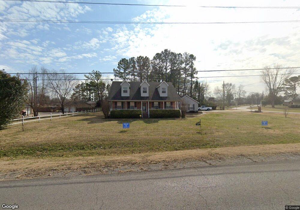
197 Todd Ln Smyrna, TN 37167
Estimated Value: $393,383 - $463,000
--
Bed
3
Baths
1,901
Sq Ft
$222/Sq Ft
Est. Value
About This Home
This home is located at 197 Todd Ln, Smyrna, TN 37167 and is currently estimated at $422,346, approximately $222 per square foot. 197 Todd Ln is a home located in Rutherford County with nearby schools including Smyrna Primary School, Smyrna Middle School, and Smyrna High School.
Ownership History
Date
Name
Owned For
Owner Type
Purchase Details
Closed on
Jun 21, 2010
Sold by
Naccarato Sandy L
Bought by
Elkins Clarence E
Current Estimated Value
Home Financials for this Owner
Home Financials are based on the most recent Mortgage that was taken out on this home.
Original Mortgage
$120,000
Outstanding Balance
$79,870
Interest Rate
4.83%
Mortgage Type
Purchase Money Mortgage
Estimated Equity
$342,476
Create a Home Valuation Report for This Property
The Home Valuation Report is an in-depth analysis detailing your home's value as well as a comparison with similar homes in the area
Home Values in the Area
Average Home Value in this Area
Purchase History
| Date | Buyer | Sale Price | Title Company |
|---|---|---|---|
| Elkins Clarence E | $171,500 | -- |
Source: Public Records
Mortgage History
| Date | Status | Borrower | Loan Amount |
|---|---|---|---|
| Open | Elkins Clarence E | $120,000 |
Source: Public Records
Tax History Compared to Growth
Tax History
| Year | Tax Paid | Tax Assessment Tax Assessment Total Assessment is a certain percentage of the fair market value that is determined by local assessors to be the total taxable value of land and additions on the property. | Land | Improvement |
|---|---|---|---|---|
| 2025 | $2,175 | $90,575 | $13,750 | $76,825 |
| 2024 | $2,175 | $90,575 | $13,750 | $76,825 |
| 2023 | $2,175 | $90,575 | $13,750 | $76,825 |
| 2022 | $1,940 | $90,575 | $13,750 | $76,825 |
| 2021 | $1,721 | $58,925 | $8,750 | $50,175 |
| 2020 | $1,721 | $58,925 | $8,750 | $50,175 |
| 2019 | $1,721 | $58,925 | $8,750 | $50,175 |
| 2018 | $1,650 | $58,925 | $0 | $0 |
| 2017 | $1,720 | $48,250 | $0 | $0 |
| 2016 | $1,720 | $48,250 | $0 | $0 |
| 2015 | $1,720 | $48,250 | $0 | $0 |
| 2014 | $1,200 | $48,250 | $0 | $0 |
| 2013 | -- | $46,725 | $0 | $0 |
Source: Public Records
Map
Nearby Homes
- 108 McNickle Dr
- 1547 Repton Rd
- 104 Belaire Dr
- 0 Walnut St
- 203 McNickle Dr
- 201 Bane Dr
- 205 Bane Dr
- 3011 Denny Brooke Ln
- 3040 Denny Brooke Ln
- 107 Oak Valley Cir
- 119 Tedder Blvd
- 131 Tedder Blvd
- 1307 Talia Trace Plan at Talia Trace
- 1781-3 Talia Trace Town Home Plan at Talia Trace
- 1723-2 Talia Trace Town Home Plan at Talia Trace
- 1306 Talia Trace Plan at Talia Trace
- 1703-3 Talia Trace Plan at Talia Trace
- 1603 Talia Trace Plan at Talia Trace
- 303 Davis Park Dr
- 148 Tedder Blvd
- 900 Hazelwood Dr
- 900 Hazelwood Dr
- 103 Steve Roberts Dr
- 102 Steve Roberts Dr
- 105 Steve Roberts Dr
- 104 Steve Roberts Dr
- 201 Todd Ln
- 101 McNickle Dr
- 107 Steve Roberts Dr
- 902 Hazelwood Dr
- 801 Hazelwood Dr
- 106 Steve Roberts Dr
- 203 Todd Ln
- 102 Avondale Dr
- 901 Hazelwood Dr
- 906 Hazelwood Dr
- 109 Steve Roberts Dr
- 103 McNickle Dr
- 108 Steve Roberts Dr
- 205 Todd Ln