197 Trask Side Rd Alton Bay, NH 03810
Estimated Value: $928,000 - $2,577,000
4
Beds
2
Baths
1,971
Sq Ft
$813/Sq Ft
Est. Value
About This Home
This home is located at 197 Trask Side Rd, Alton Bay, NH 03810 and is currently estimated at $1,601,451, approximately $812 per square foot. 197 Trask Side Rd is a home located in Belknap County with nearby schools including Alton Central School (Elem) and Prospect Mountain High School.
Ownership History
Date
Name
Owned For
Owner Type
Purchase Details
Closed on
Aug 6, 2018
Sold by
Lake View Investments
Bought by
Rousseau Ashley
Current Estimated Value
Purchase Details
Closed on
Mar 22, 2018
Sold by
Moulton Therea A
Bought by
Lake View Investments
Purchase Details
Closed on
May 15, 2001
Sold by
Campbell Leona S
Bought by
Krigsman Craig L
Home Financials for this Owner
Home Financials are based on the most recent Mortgage that was taken out on this home.
Original Mortgage
$372,000
Interest Rate
6.88%
Create a Home Valuation Report for This Property
The Home Valuation Report is an in-depth analysis detailing your home's value as well as a comparison with similar homes in the area
Home Values in the Area
Average Home Value in this Area
Purchase History
| Date | Buyer | Sale Price | Title Company |
|---|---|---|---|
| Rousseau Ashley | $195,000 | -- | |
| Rousseau Bradley | $730,000 | -- | |
| Lake View Investments | $700,000 | -- | |
| Krigsman Craig L | $465,000 | -- |
Source: Public Records
Mortgage History
| Date | Status | Borrower | Loan Amount |
|---|---|---|---|
| Previous Owner | Krigsman Craig L | $372,000 |
Source: Public Records
Tax History Compared to Growth
Tax History
| Year | Tax Paid | Tax Assessment Tax Assessment Total Assessment is a certain percentage of the fair market value that is determined by local assessors to be the total taxable value of land and additions on the property. | Land | Improvement |
|---|---|---|---|---|
| 2024 | $11,997 | $924,300 | $763,100 | $161,200 |
| 2022 | $10,509 | $924,300 | $763,100 | $161,200 |
| 2021 | $10,519 | $924,300 | $763,100 | $161,200 |
| 2020 | $582 | $712,900 | $614,600 | $98,300 |
| 2019 | $8,669 | $693,000 | $614,600 | $78,400 |
| 2018 | $10,161 | $726,300 | $614,600 | $111,700 |
| 2017 | $9,732 | $756,800 | $614,600 | $142,200 |
| 2016 | $9,292 | $656,700 | $533,200 | $123,500 |
| 2015 | $9,371 | $656,700 | $533,200 | $123,500 |
| 2014 | $9,404 | $679,000 | $555,400 | $123,600 |
| 2013 | $8,708 | $647,900 | $524,300 | $123,600 |
Source: Public Records
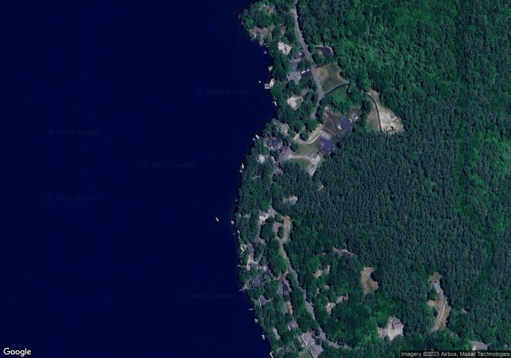
Map
Nearby Homes
- 204 Route 11-D
- 141 Fort Point Rd
- 581 E Side Dr
- 378 Sleeper Island
- Lot 13 Jaytee Dr
- 80 Scott Dr
- Lot 14 Black Point Rd
- 74 Jesus Valley Rd
- 728 E Side Dr
- Lot 5-2-1 Jesus Valley Rd
- Lots 134-135 Wendy Dr
- 90 Jesus Valley Rd
- 729 Old Wolfeboro Rd
- 25 Georges Rd
- 21 Richardson Dr
- 241 Mount Major Hwy
- 104 Roberts Cove Rd
- 135 Alton Mountain Rd
- 224 Rand Hill Rd
- 72 Timber Ridge Rd
- 199 Trask Side Rd
- 193 Trask Side Rd
- 189 Trask Side Rd
- 203 Trask Side Rd
- 192 Trask Side Rd
- 187 Trask Side Rd
- 205 Trask Side Rd
- 202 Trask Side Rd
- 19 Mattleman Ln
- 17 Mattleman Ln
- 206 Trask Side Rd
- 823D Trask Side Rd
- Lot #29 Trask Side Rd
- Lot #28 Trask Side Rd
- 170 Trask Side Rd
- 9 Mattleman Ln
- 223 Trask Side Rd
- 198 Trask Side Rd
- 208 Trask Side Rd
- 166 Trask Side Rd