197 Varnum Ave Dracut, MA 01826
Estimated Value: $694,000 - $859,000
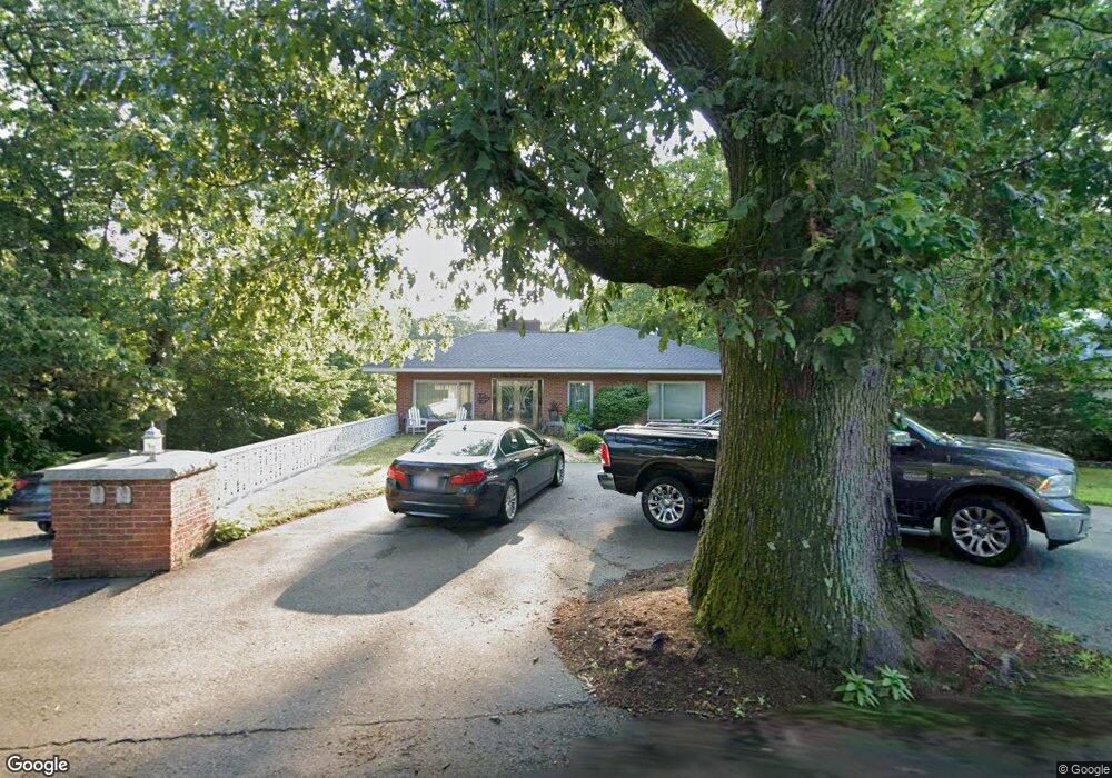
About This Home
This home is located at 197 Varnum Ave, Dracut, MA 01826 and is currently estimated at $778,938, approximately $201 per square foot. 197 Varnum Ave is a home located in Middlesex County with nearby schools including Joseph A. Campbell Elementary School, Richardson Middle School, and Dracut Senior High School.
Ownership History
We collect this data history from publicly available records. To have your information removed, we recommend requesting removal directly through your county’s website.
Purchase Details
Home Financials for this Owner
Home Financials are based on the most recent Mortgage that was taken out on this home.Purchase Details
Home Financials for this Owner
Home Financials are based on the most recent Mortgage that was taken out on this home.Purchase Details
Home Financials for this Owner
Home Financials are based on the most recent Mortgage that was taken out on this home.Home Values in the Area
Average Home Value in this Area
Purchase History
We collect this data history from publicly available records. To have your information removed, we recommend requesting removal directly through your county’s website.
| Date | Buyer | Sale Price | Title Company |
|---|---|---|---|
| $444,000 | -- | ||
| $237,000 | -- | ||
| $280,000 | -- |
Mortgage History
We collect this data history from publicly available records. To have your information removed, we recommend requesting removal directly through your county’s website.
| Date | Status | Borrower | Loan Amount |
|---|---|---|---|
| Open | $345,000 | ||
| Closed | $355,200 | ||
| Previous Owner | $189,500 | ||
| Previous Owner | $570,000 | ||
| Previous Owner | $225,000 |
Tax History
We collect this data history from publicly available records. To have your information removed, we recommend requesting removal directly through your county’s website.
| Year | Tax Paid | Tax Assessment Tax Assessment Total Assessment is a certain percentage of the fair market value that is determined by local assessors to be the total taxable value of land and additions on the property. | Land | Improvement |
|---|---|---|---|---|
| 2025 | $7,387 | $729,900 | $238,100 | $491,800 |
| 2024 | $7,469 | $714,700 | $226,900 | $487,800 |
| 2023 | $7,154 | $617,800 | $197,400 | $420,400 |
| 2022 | $7,462 | $607,200 | $180,000 | $427,200 |
| 2021 | $0 | $554,700 | $163,900 | $390,800 |
| 2020 | $6,886 | $515,800 | $159,100 | $356,700 |
| 2019 | $6,724 | $489,000 | $151,700 | $337,300 |
| 2018 | $6,452 | $435,500 | $151,700 | $283,800 |
| 2017 | $5,893 | $435,500 | $151,700 | $283,800 |
| 2016 | $5,621 | $378,800 | $146,000 | $232,800 |
| 2015 | $5,402 | $361,800 | $146,000 | $215,800 |
| 2014 | $4,996 | $344,800 | $146,000 | $198,800 |
Map
- 30 Parker Rd
- 821 Merrimack Ave
- 115 Stuart Ave Unit 20
- 762 Merrimack Ave
- 12 Allen St
- 10 Grant St
- 20 Farm Pond Rd
- 24 Novak Cir
- 2 Francis Dr Unit 405
- 2 Francis Dr Unit 301
- 215 Lexington Rd
- 772 Trull Rd
- 80 Brigham Ave
- 225 River Rd
- 73 Hood Rd
- 289 Burnham Rd
- 67 Sherwood Dr Unit 67
- 207 Trout Brook Rd
- 19 Knollcrest Dr
- 81 Lowell Blvd
- 193 Varnum Ave
- 200 Varnum Ave
- 181 Varnum Ave
- 208 Varnum Ave
- 178 Varnum Ave
- 1243 Methuen St
- 173 Varnum Ave
- 1271 Methuen St
- 220 Varnum Ave
- 168 Varnum Ave
- 163 Varnum Ave
- 1264 Methuen St
- 1256 Methuen St
- 160 Varnum Ave
- 1270 Methuen St
- 1238 Methuen St
- 153 Varnum Ave
- 1276 Methuen St
- 152 Varnum Ave
- 1222 Methuen St
Ask me questions while you tour the home.