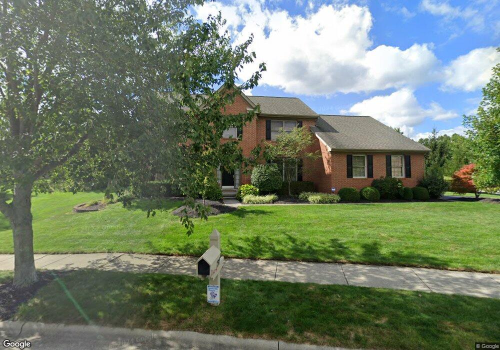
197 Weatherburn Dr Powell, OH 43065
Liberty Township NeighborhoodEstimated Value: $582,000 - $656,000
4
Beds
3
Baths
2,838
Sq Ft
$220/Sq Ft
Est. Value
About This Home
This home is located at 197 Weatherburn Dr, Powell, OH 43065 and is currently estimated at $624,623, approximately $220 per square foot. 197 Weatherburn Dr is a home located in Delaware County with nearby schools including Tyler Run Elementary School, Olentangy Liberty Middle School, and Olentangy Liberty High School.
Ownership History
Date
Name
Owned For
Owner Type
Purchase Details
Closed on
Aug 18, 2003
Sold by
Riebel Matthew A and Riebel Stacy T
Bought by
Cruise John M and Cruise Amy C
Current Estimated Value
Home Financials for this Owner
Home Financials are based on the most recent Mortgage that was taken out on this home.
Original Mortgage
$244,000
Interest Rate
5.62%
Mortgage Type
Purchase Money Mortgage
Create a Home Valuation Report for This Property
The Home Valuation Report is an in-depth analysis detailing your home's value as well as a comparison with similar homes in the area
Home Values in the Area
Average Home Value in this Area
Purchase History
| Date | Buyer | Sale Price | Title Company |
|---|---|---|---|
| Cruise John M | $305,000 | -- |
Source: Public Records
Mortgage History
| Date | Status | Borrower | Loan Amount |
|---|---|---|---|
| Closed | Cruise John M | $244,000 |
Source: Public Records
Tax History Compared to Growth
Tax History
| Year | Tax Paid | Tax Assessment Tax Assessment Total Assessment is a certain percentage of the fair market value that is determined by local assessors to be the total taxable value of land and additions on the property. | Land | Improvement |
|---|---|---|---|---|
| 2024 | $9,025 | $172,240 | $38,400 | $133,840 |
| 2023 | $9,060 | $172,240 | $38,400 | $133,840 |
| 2022 | $8,984 | $135,420 | $25,730 | $109,690 |
| 2021 | $8,855 | $131,220 | $25,730 | $105,490 |
| 2020 | $8,887 | $131,220 | $25,730 | $105,490 |
| 2019 | $7,671 | $117,470 | $25,730 | $91,740 |
| 2018 | $7,759 | $117,470 | $25,730 | $91,740 |
| 2017 | $7,551 | $113,020 | $21,390 | $91,630 |
| 2016 | $8,010 | $113,020 | $21,390 | $91,630 |
| 2015 | $7,289 | $113,020 | $21,390 | $91,630 |
| 2014 | $7,386 | $113,020 | $21,390 | $91,630 |
| 2013 | $7,267 | $108,650 | $21,390 | $87,260 |
Source: Public Records
Map
Nearby Homes
- 120 S Liberty St
- 2105 Liberty St
- 2020 Liberty St
- 1937 Liberty St
- 92 Barrington Place
- 6615 Scioto St
- 6555 Scioto St
- 6583 Scioto St
- 6601 Scioto St
- 660 Woods Hollow Ln
- 630 Woods Hollow Ln
- 55 Timber Oak Ct
- 110 Encore Park Bend
- Oakley Plan at Encore Park of Powell - Uptown Collection
- Irving Plan at Encore Park of Powell - Uptown Collection
- 309 Whetstone Dr E
- 114 Encore Park Bend
- 575 Woods Hollow Ln
- 11 Murphys View Place
- 87 Murphys Oval Unit N87
- 134 Briarbend Blvd
- 207 Weatherburn Dr
- 241 Shalebrook Dr
- 133 Briarbend Blvd
- 138 Briarbend Blvd
- 220 Squires Ct
- 217 Weatherburn Dr
- 230 Glenworth Ct
- 251 Shalebrook Dr
- 142 Briarbend Blvd
- 202 Squires Ct
- 260 Shalebrook Dr
- 104 Glenlivet Place
- 242 Glenworth Ct
- 225 Squires Ct
- 265 Shalebrook Dr
- 146 Briarbend Blvd
- 196 Squires Ct
- 254 Glenworth Ct
- 274 Shalebrook Dr