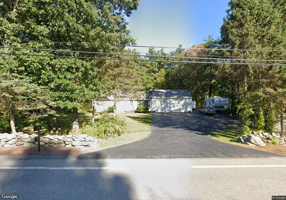
197 Worcester Rd Princeton, MA 01541
Estimated Value: $452,000 - $508,000
3
Beds
1
Bath
1,092
Sq Ft
$434/Sq Ft
Est. Value
About This Home
This home is located at 197 Worcester Rd, Princeton, MA 01541 and is currently estimated at $474,057, approximately $434 per square foot. 197 Worcester Rd is a home located in Worcester County with nearby schools including Wachusett Regional High School.
Ownership History
Date
Name
Owned For
Owner Type
Purchase Details
Closed on
Mar 26, 2009
Sold by
Cassidy William P and Bradway Deborah A
Bought by
Bradway-Cassidy Deborah A and Cassidy William P
Current Estimated Value
Purchase Details
Closed on
Oct 2, 1989
Sold by
Billings Neil
Bought by
Cassidy William
Home Financials for this Owner
Home Financials are based on the most recent Mortgage that was taken out on this home.
Original Mortgage
$116,369
Interest Rate
9.92%
Mortgage Type
Purchase Money Mortgage
Create a Home Valuation Report for This Property
The Home Valuation Report is an in-depth analysis detailing your home's value as well as a comparison with similar homes in the area
Home Values in the Area
Average Home Value in this Area
Purchase History
| Date | Buyer | Sale Price | Title Company |
|---|---|---|---|
| Bradway-Cassidy Deborah A | -- | -- | |
| Cassidy William | $126,900 | -- | |
| Cassidy William | $126,900 | -- |
Source: Public Records
Mortgage History
| Date | Status | Borrower | Loan Amount |
|---|---|---|---|
| Previous Owner | Cassidy William | $150,000 | |
| Previous Owner | Cassidy William | $112,000 | |
| Previous Owner | Cassidy William | $116,369 |
Source: Public Records
Tax History
| Year | Tax Paid | Tax Assessment Tax Assessment Total Assessment is a certain percentage of the fair market value that is determined by local assessors to be the total taxable value of land and additions on the property. | Land | Improvement |
|---|---|---|---|---|
| 2025 | $5,777 | $397,600 | $126,500 | $271,100 |
| 2024 | $5,331 | $380,000 | $124,200 | $255,800 |
| 2023 | $5,264 | $347,700 | $99,100 | $248,600 |
| 2022 | $5,025 | $320,500 | $99,100 | $221,400 |
| 2021 | $4,517 | $280,200 | $99,100 | $181,100 |
| 2020 | $4,378 | $276,200 | $99,100 | $177,100 |
| 2019 | $4,314 | $269,300 | $96,100 | $173,200 |
| 2018 | $4,539 | $262,700 | $79,400 | $183,300 |
| 2017 | $3,954 | $222,400 | $116,900 | $105,500 |
| 2016 | $3,959 | $222,400 | $116,900 | $105,500 |
| 2015 | $3,858 | $223,000 | $119,000 | $104,000 |
Source: Public Records
Map
Nearby Homes
- 9 Stagecoach Rd
- 100 Brooks Station Rd
- 19 Hubbardston Rd
- 20 Mountain Rd
- 13 Goodnow Rd
- 376 Elmwood Ave
- 147 E County Rd Unit 149
- 139 E County Rd Unit 139
- 56 Hubbardston Rd
- 134 Mountain Rd
- 0 North St
- 569 E County Rd
- 386 Redemption Rock Trail
- 287 Laurel St
- 30 Duxbury Dr
- 129 Quinapoxet St
- 35 Laurel Hill Ln
- 45 Old Colony Rd
- 40 Princeton St
- 64 Rivington Dr
- 191 Worcester Rd
- 8 Sharon Dr
- 187 Worcester Rd
- 2 Sharon Dr
- 194 Worcester Rd
- 12 Sharon Dr
- 207 Worcester Rd
- 206 Worcester Rd
- 206 Worcester Rd Unit 37
- 206 Worcester Rd Unit 36
- 206 Worcester Rd Unit 35
- 16 Sharon Dr
- 203 Worcester Rd
- 0 End of Sharon Dr
- 183 Worcester Rd
- 3 Pinewood Dr
- 208 Worcester Rd
- 184 Worcester Rd
- 20 Sharon Dr
- 209 Worcester Rd
Your Personal Tour Guide
Ask me questions while you tour the home.