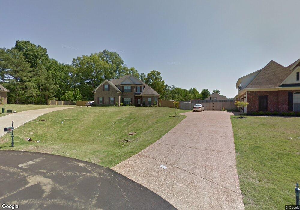
1970 Bakersfield Trace Nesbit, MS 38651
Lewisburg NeighborhoodEstimated Value: $402,000 - $497,000
4
Beds
3
Baths
2,313
Sq Ft
$191/Sq Ft
Est. Value
About This Home
This home is located at 1970 Bakersfield Trace, Nesbit, MS 38651 and is currently estimated at $441,785, approximately $191 per square foot. 1970 Bakersfield Trace is a home located in DeSoto County with nearby schools including Lewisburg Primary School, Lewisburg Elementary School, and Lewisburg Middle School.
Ownership History
Date
Name
Owned For
Owner Type
Purchase Details
Closed on
Sep 3, 2013
Sold by
Bridgforth Homes Inc
Bought by
Rust Robert R and Rust Laura F
Current Estimated Value
Home Financials for this Owner
Home Financials are based on the most recent Mortgage that was taken out on this home.
Original Mortgage
$213,560
Outstanding Balance
$157,328
Interest Rate
4.31%
Mortgage Type
FHA
Estimated Equity
$284,457
Purchase Details
Closed on
May 22, 2013
Sold by
Bridgforth Properties Inc
Bought by
Bridgforth Homes Inc
Home Financials for this Owner
Home Financials are based on the most recent Mortgage that was taken out on this home.
Original Mortgage
$179,200
Interest Rate
3.42%
Mortgage Type
Construction
Create a Home Valuation Report for This Property
The Home Valuation Report is an in-depth analysis detailing your home's value as well as a comparison with similar homes in the area
Home Values in the Area
Average Home Value in this Area
Purchase History
| Date | Buyer | Sale Price | Title Company |
|---|---|---|---|
| Rust Robert R | -- | None Available | |
| Bridgforth Homes Inc | -- | None Available |
Source: Public Records
Mortgage History
| Date | Status | Borrower | Loan Amount |
|---|---|---|---|
| Open | Rust Robert R | $213,560 | |
| Previous Owner | Bridgforth Homes Inc | $179,200 |
Source: Public Records
Tax History
| Year | Tax Paid | Tax Assessment Tax Assessment Total Assessment is a certain percentage of the fair market value that is determined by local assessors to be the total taxable value of land and additions on the property. | Land | Improvement |
|---|---|---|---|---|
| 2025 | $1,930 | $27,032 | $3,600 | $23,432 |
| 2024 | $1,678 | $19,788 | $3,600 | $16,188 |
| 2023 | $1,678 | $19,683 | $0 | $0 |
| 2022 | $1,668 | $19,683 | $3,600 | $16,083 |
| 2021 | $1,668 | $19,683 | $3,600 | $16,083 |
| 2020 | $1,537 | $18,371 | $3,600 | $14,771 |
| 2019 | $1,537 | $18,371 | $3,600 | $14,771 |
| 2017 | $1,562 | $33,386 | $18,493 | $14,893 |
| 2016 | $1,562 | $18,493 | $3,600 | $14,893 |
| 2015 | $1,862 | $33,386 | $18,493 | $14,893 |
| 2014 | $1,562 | $18,493 | $0 | $0 |
Source: Public Records
Map
Nearby Homes
- 4809 Bakersfield Dr
- 1960 Bakersfield Dr N
- 2024 Laughter Rd
- 4609 Big Horn Dr S
- 4490 Big Horn Dr S
- 1817 Caribe Dr
- 1789 Caribe Dr
- 1762 Bakersfield Way
- 5290 Watson View Dr
- 2216 Watson View E
- 1755 Bakersfield Way
- 4276 Brooke Dr
- 1735 Bakersfield Way
- 2009 Plumas Dr
- 4220 Adriane Cove
- Lot 107 Brooke Dr
- 4209 Edison Dr
- 1722 Baisley Dr
- 1835 Baisley Dr
- 4441 Big Horn Dr N
- 1962 Bakersfield Trace
- 1992 Bakersfield Trace
- 1978 Bakersfield Trace
- 4881 Bakersfield Cove
- 4878 Bakersfield Cove
- 1948 Bakersfield Trace
- 1973 Bakersfield Drive Trace
- 1973 Bakersfield Trace
- 1965 Bakersfield Trace
- 4879 Bakersfield Cove
- 1932 Bakersfield Trace
- 4886 Bakersfield Cove
- 1973 Bakersfield Trace
- 1947 Bakersfield Trace
- 4887 Bakersfield Cove
- 4890 Bakersfield Cove
- 1921 Bakersfield Trace
- 1916 Bakersfield Trace
- 5232 Watson Place Ln
- 5240 Watson Place Ln
Your Personal Tour Guide
Ask me questions while you tour the home.