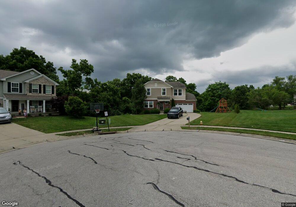
1970 Bridle Path Independence, KY 41051
Estimated Value: $306,000 - $352,360
3
Beds
3
Baths
1,733
Sq Ft
$195/Sq Ft
Est. Value
About This Home
This home is located at 1970 Bridle Path, Independence, KY 41051 and is currently estimated at $337,090, approximately $194 per square foot. 1970 Bridle Path is a home located in Kenton County with nearby schools including Simon Kenton High School, St. Cecilia Catholic School, and Calvary Christian School.
Ownership History
Date
Name
Owned For
Owner Type
Purchase Details
Closed on
Apr 2, 2020
Sold by
30 West Properties Inc
Bought by
Calkins Miriam M
Current Estimated Value
Purchase Details
Closed on
Oct 14, 2019
Sold by
Sharon Melissa Jo
Bought by
30 West Properties Inc
Purchase Details
Closed on
Jan 27, 2012
Sold by
The Drees Company
Bought by
Sharon Melissa J
Home Financials for this Owner
Home Financials are based on the most recent Mortgage that was taken out on this home.
Original Mortgage
$163,265
Interest Rate
3.97%
Mortgage Type
New Conventional
Purchase Details
Closed on
Aug 29, 2006
Sold by
Great Development Properties Inc
Bought by
The Drees Co
Create a Home Valuation Report for This Property
The Home Valuation Report is an in-depth analysis detailing your home's value as well as a comparison with similar homes in the area
Home Values in the Area
Average Home Value in this Area
Purchase History
| Date | Buyer | Sale Price | Title Company |
|---|---|---|---|
| Calkins Miriam M | $218,000 | 360 American Title Svcs Llc | |
| 30 West Properties Inc | $159,000 | None Available | |
| Sharon Melissa J | $160,000 | Kentucky Land Title Agency | |
| The Drees Co | -- | None Available |
Source: Public Records
Mortgage History
| Date | Status | Borrower | Loan Amount |
|---|---|---|---|
| Previous Owner | Sharon Melissa J | $163,265 |
Source: Public Records
Tax History Compared to Growth
Tax History
| Year | Tax Paid | Tax Assessment Tax Assessment Total Assessment is a certain percentage of the fair market value that is determined by local assessors to be the total taxable value of land and additions on the property. | Land | Improvement |
|---|---|---|---|---|
| 2024 | $2,671 | $218,000 | $35,000 | $183,000 |
| 2023 | $2,751 | $218,000 | $35,000 | $183,000 |
| 2022 | $2,810 | $218,000 | $35,000 | $183,000 |
| 2021 | $2,851 | $218,000 | $35,000 | $183,000 |
| 2020 | $2,144 | $159,000 | $35,000 | $124,000 |
| 2019 | $2,162 | $160,000 | $35,000 | $125,000 |
| 2018 | $2,174 | $160,000 | $35,000 | $125,000 |
| 2017 | $2,115 | $160,000 | $35,000 | $125,000 |
| 2015 | $2,052 | $160,000 | $36,500 | $123,500 |
| 2014 | $2,024 | $160,000 | $36,500 | $123,500 |
Source: Public Records
Map
Nearby Homes
- 4879 Open Meadow Dr
- 4758 Fowler Creek Rd
- 4910 Fowler Creek Rd
- 10448 Canberra Dr
- 10447 Canberra Dr
- 2215 Scheper Ct
- 3952 Piperidge Way
- 1365 Cairns Ct
- 114 Sylvan Dr
- 64 Sylvan Dr
- 10363 Canberra Dr
- 3850 Sherbourne Dr
- 3852 Sherbourne Dr
- 1479 Rising Ridge Dr
- QUENTIN Plan at Sherbourne - Sherbourne Summits
- SHELBURN Plan at Sherbourne - Sherbourne Summits
- 1464 Shirepeak Way
- 5118 Dana Harvey Ln
- 1459 Shirepeak Way
- 9972 Meadow Glen Dr
- 1975 Bridle Path
- 1966 Bridle Path
- 4888 Colony Square Dr
- 4878 Colony Square Dr
- 1971 Bridle Path
- 4875 Open Meadow Dr
- 4872 Colony Square Dr
- 1967 Bridle Path
- 4891 Colony Square Dr
- 4879 Open Meadow Dr Unit 89
- 1963 Bridle Path
- 4871 Open Meadow Dr
- 4871 Open Meadow Dr Unit 120
- 4883 Open Meadow Dr
- 4883 Colony Square Dr
- 4879 Colony Square Dr
- 1959 Bridle Path
- 4875 Colony Square Dr
- 4871 Colony Square Dr
- 4867 Open Meadow Dr