Estimated Value: $372,000 - $432,000
3
Beds
2
Baths
1,578
Sq Ft
$252/Sq Ft
Est. Value
About This Home
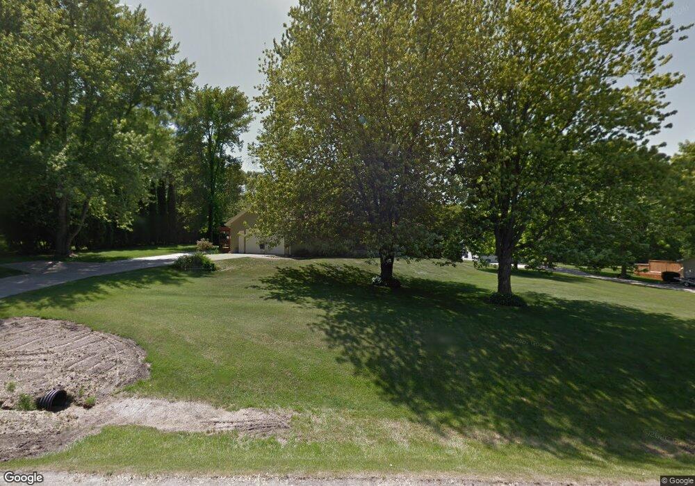
This home is located at 1970 Carrier Rd, Palo, IA 52324 and is currently estimated at $396,872, approximately $251 per square foot. 1970 Carrier Rd is a home located in Linn County with nearby schools including Maple Grove Elementary School, North Middletown Elementary School, and Ponderosa Elementary School.
Ownership History
Date
Name
Owned For
Owner Type
Purchase Details
Closed on
Oct 22, 2009
Sold by
Vansickel John D and Vansickel Van Sickel
Bought by
Roberts David E and Roberts Karen M
Current Estimated Value
Home Financials for this Owner
Home Financials are based on the most recent Mortgage that was taken out on this home.
Original Mortgage
$75,000
Interest Rate
5.1%
Mortgage Type
New Conventional
Create a Home Valuation Report for This Property
The Home Valuation Report is an in-depth analysis detailing your home's value as well as a comparison with similar homes in the area
Home Values in the Area
Average Home Value in this Area
Purchase History
| Date | Buyer | Sale Price | Title Company |
|---|---|---|---|
| Roberts David E | $185,500 | None Available |
Source: Public Records
Mortgage History
| Date | Status | Borrower | Loan Amount |
|---|---|---|---|
| Closed | Roberts David E | $75,000 |
Source: Public Records
Tax History Compared to Growth
Tax History
| Year | Tax Paid | Tax Assessment Tax Assessment Total Assessment is a certain percentage of the fair market value that is determined by local assessors to be the total taxable value of land and additions on the property. | Land | Improvement |
|---|---|---|---|---|
| 2025 | $4,192 | $394,600 | $65,000 | $329,600 |
| 2024 | $4,194 | $380,800 | $65,000 | $315,800 |
| 2023 | $4,194 | $380,800 | $65,000 | $315,800 |
| 2022 | $4,136 | $307,800 | $65,000 | $242,800 |
| 2021 | $4,006 | $307,800 | $65,000 | $242,800 |
| 2020 | $4,006 | $277,300 | $50,000 | $227,300 |
| 2019 | $3,668 | $259,600 | $50,000 | $209,600 |
| 2018 | $3,582 | $259,600 | $50,000 | $209,600 |
| 2017 | $3,536 | $245,200 | $50,000 | $195,200 |
| 2016 | $3,243 | $222,300 | $50,000 | $172,300 |
| 2015 | $3,178 | $216,800 | $50,000 | $166,800 |
| 2014 | $3,050 | $216,800 | $50,000 | $166,800 |
| 2013 | $2,988 | $216,800 | $50,000 | $166,800 |
Source: Public Records
Map
Nearby Homes
- 6702 Country Ridge Dr NW
- 7226 Country Ridge Dr NW
- 7509 Country Ridge Dr NW
- 2415 Prairie Knoll Ct NW
- 2502 Prairie Knoll Ct NW
- 7602 Country Ridge Dr NW
- 7608 Country Ridge Dr NW
- 7626 Country Ridge Dr NW
- 00
- 0 Iowa 100
- 2214 Ross Rd
- 1722 Gardner Dr NW
- 6712 Spring Grove Ct NE
- 916 Blue Stone St NW
- 5801 Seminole Valley Trail NE
- 5413 Seminole Valley Trail NE
- 5503 Seminole Valley Trail NE
- 5416 Seminole Valley Trail NE
- 5428 Seminole Valley Trail NE
- 5624 Seminole Valley Trail NE
- 1978 Carrier Rd
- 1962 Carrier Rd
- 1969 Carrier Rd
- 1984 Carrier Rd
- 1977 Carrier Rd
- 1954 Carrier Rd
- 6808 Michael Rd
- 1994 Carrier Rd
- 6809 N Glen Dr
- 1951 Carrier Rd
- 6805 N Glen Dr
- 6800 Michael Rd
- 1962 Covington Rd
- 1935 Covington Rd
- 1970 Covington Rd
- 6705 Michael Rd
- 6704 Michael Rd
- 6801 N Glen Dr
- 1980 Covington Rd
- 1956 1st Ave