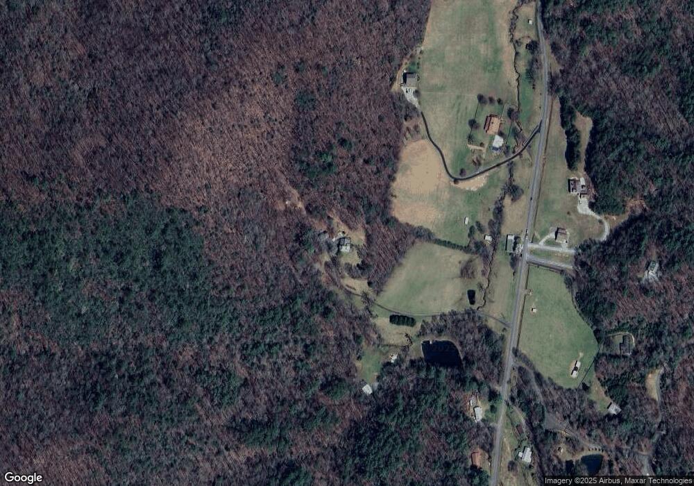
1970 Cashes Valley Rd Cherry Log, GA 30522
Estimated Value: $1,141,000 - $1,254,000
Studio
3
Baths
3,666
Sq Ft
$327/Sq Ft
Est. Value
About This Home
This home is located at 1970 Cashes Valley Rd, Cherry Log, GA 30522 and is currently estimated at $1,197,500, approximately $326 per square foot. 1970 Cashes Valley Rd is a home with nearby schools including Fannin County High School.
Ownership History
Date
Name
Owned For
Owner Type
Purchase Details
Closed on
Dec 2, 2024
Sold by
Cooper Deborah L
Bought by
Cooper Joint Revocable Trust and Cooper Deborah Lee
Current Estimated Value
Purchase Details
Closed on
Sep 15, 2005
Sold by
Key Tim and Key Pam
Bought by
Copper Michael V and Copper Deborah L
Home Financials for this Owner
Home Financials are based on the most recent Mortgage that was taken out on this home.
Original Mortgage
$150,000
Interest Rate
5.77%
Mortgage Type
New Conventional
Purchase Details
Closed on
Mar 28, 2002
Sold by
Key Tim and Key Pam
Bought by
Key Tim and Key Pam
Purchase Details
Closed on
Jan 22, 2001
Sold by
Key Tim
Bought by
Key Tim and Key Pam
Purchase Details
Closed on
Apr 14, 2000
Sold by
Key Tim
Bought by
Key Tim and Key Pam
Purchase Details
Closed on
Nov 19, 1999
Sold by
Griggs Gregory
Bought by
Key Tim and Key Pam
Create a Home Valuation Report for This Property
The Home Valuation Report is an in-depth analysis detailing your home's value as well as a comparison with similar homes in the area
Home Values in the Area
Average Home Value in this Area
Purchase History
| Date | Buyer | Sale Price | Title Company |
|---|---|---|---|
| Cooper Joint Revocable Trust | -- | -- | |
| Copper Michael V | $530,000 | -- | |
| Cooper Michael | $530,000 | -- | |
| Key Tim | -- | -- | |
| Key Tim | -- | -- | |
| Key Tim | -- | -- | |
| Key Tim | $130,000 | -- |
Source: Public Records
Mortgage History
| Date | Status | Borrower | Loan Amount |
|---|---|---|---|
| Previous Owner | Cooper Michael | $150,000 |
Source: Public Records
Tax History
| Year | Tax Paid | Tax Assessment Tax Assessment Total Assessment is a certain percentage of the fair market value that is determined by local assessors to be the total taxable value of land and additions on the property. | Land | Improvement |
|---|---|---|---|---|
| 2025 | $2,768 | $345,404 | $51,468 | $293,936 |
| 2024 | $28 | $345,404 | $51,468 | $293,936 |
| 2023 | $2,494 | $285,280 | $51,468 | $233,812 |
| 2022 | $1,986 | $235,747 | $51,468 | $184,279 |
| 2021 | $1,421 | $147,242 | $51,469 | $95,773 |
| 2020 | $1,442 | $147,242 | $51,469 | $95,773 |
| 2019 | $1,468 | $147,242 | $51,469 | $95,773 |
| 2018 | $1,554 | $131,256 | $35,483 | $95,773 |
| 2017 | $2,349 | $132,766 | $35,483 | $97,283 |
| 2016 | $1,377 | $111,708 | $35,483 | $76,225 |
| 2015 | $1,472 | $113,603 | $35,483 | $78,120 |
| 2014 | $1,525 | $156,933 | $63,286 | $93,647 |
| 2013 | -- | $130,288 | $63,286 | $67,002 |
Source: Public Records
Map
Nearby Homes
- 12 Heights Overlook
- 312 Covered Bridge
- 272 Heights Overlook
- 251 Rockhouse Rd
- 211 Rockhouse Rd
- 541 Mountain View Cir
- 476 Prince Mountain Rd
- 184 Rockhouse Rd
- 587 Lower Prince Mountain Rd
- LOT 1 High Knee Rd
- 521 Lower Prince Mountain Rd
- 31 the Kings Ct
- 420 Olivers Trail
- 240 Lower Prince Mountain Rd
- 1655 Mangum's Trail
- 750 Laurel Cir
- 78 Brass Hill Rd
- 785 Wehunt Rd
- 30 Laurel Branch
- 533 Mangums Trail
- 1800 Cashes Valley Rd
- 1740 Cashes Valley Rd
- 1903 Cashes Valley Rd
- 0 Lt 37 the Heights Unit LOT 37 305785
- 2030 Cashes Valley Rd
- 1905 Cashes Valley Rd
- 1915 Cashes Valley Rd
- 1676 Cashes Valley Rd
- 153 Covered Bridge Ln
- 2060 Cashes Valley Rd
- 1461 Cashes Valley Rd
- 1902 Cashes Valley Rd
- LT 24 The Heights
- 1504 Cashes Valley Rd
- LT 32 The Heights
- 0 Lot 33 the Heights Unit 317645
- 160 Covered Bridge Ln
- 2112 Cashes Valley Rd
- 0 Lot 12 the Heights Unit 317643
- 14 Heights Overlook
