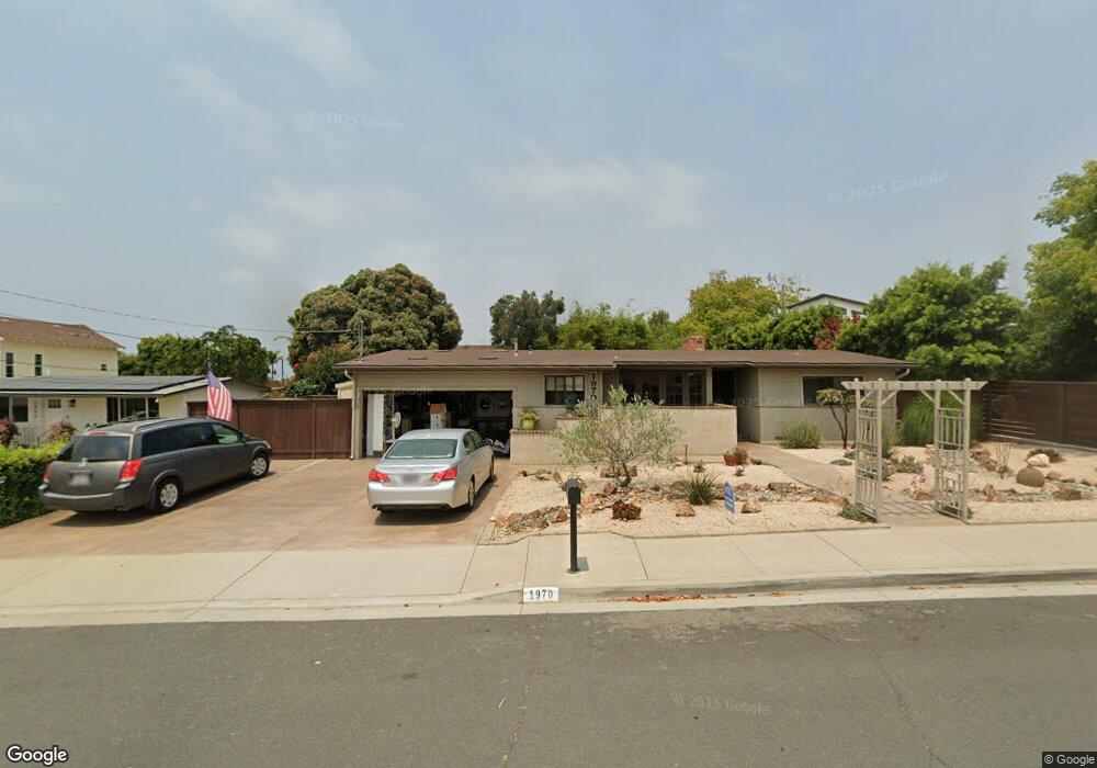
1970 Magnolia Ave Carlsbad, CA 92008
Olde Carlsbad NeighborhoodEstimated Value: $1,439,000 - $1,714,000
4
Beds
3
Baths
1,791
Sq Ft
$874/Sq Ft
Est. Value
About This Home
This home is located at 1970 Magnolia Ave, Carlsbad, CA 92008 and is currently estimated at $1,565,647, approximately $874 per square foot. 1970 Magnolia Ave is a home located in San Diego County with nearby schools including Magnolia Elementary, Carlsbad High School, and Sage Creek High.
Ownership History
Date
Name
Owned For
Owner Type
Purchase Details
Closed on
Jan 19, 2023
Sold by
Frum Larry Franklyn and Frum Diane
Bought by
Franklyn Trust
Current Estimated Value
Create a Home Valuation Report for This Property
The Home Valuation Report is an in-depth analysis detailing your home's value as well as a comparison with similar homes in the area
Home Values in the Area
Average Home Value in this Area
Purchase History
| Date | Buyer | Sale Price | Title Company |
|---|---|---|---|
| Franklyn Trust | -- | -- |
Source: Public Records
Tax History Compared to Growth
Tax History
| Year | Tax Paid | Tax Assessment Tax Assessment Total Assessment is a certain percentage of the fair market value that is determined by local assessors to be the total taxable value of land and additions on the property. | Land | Improvement |
|---|---|---|---|---|
| 2025 | $2,758 | $262,871 | $119,722 | $143,149 |
| 2024 | $2,758 | $257,718 | $117,375 | $140,343 |
| 2023 | $2,742 | $252,666 | $115,074 | $137,592 |
| 2022 | $2,698 | $247,713 | $112,818 | $134,895 |
| 2021 | $2,677 | $242,856 | $110,606 | $132,250 |
| 2020 | $2,659 | $240,366 | $109,472 | $130,894 |
| 2019 | $2,611 | $235,654 | $107,326 | $128,328 |
| 2018 | $2,502 | $231,034 | $105,222 | $125,812 |
| 2017 | $2,459 | $226,505 | $103,159 | $123,346 |
| 2016 | $2,361 | $222,065 | $101,137 | $120,928 |
| 2015 | $2,350 | $218,730 | $99,618 | $119,112 |
| 2014 | $2,311 | $214,446 | $97,667 | $116,779 |
Source: Public Records
Map
Nearby Homes
- 3721 Donna Ct
- 3736 Donna Ct
- 1565 Chestnut Ave
- 3275 Maezel Ln
- 3920 Holly Brae Ln
- 4000 James Dr
- 3245 Valley St
- 3306 Donna Dr
- 3354 Seacrest Dr
- 3442 Celinda Dr
- 4143 Sunnyhill Dr
- 1199 Tamarack Ave
- 3975 Stella Maris Ln
- 1816 E Pointe Ave
- 3755 Adams St
- 3739 Adams St
- 3747-51 Adams St Plan at Adam Street Homes - Adams Street Homes
- 3755-59 Adams St Plan at Adam Street Homes - Adams Street Homes
- 3747 Adams St
- 3731-35 Adams St Plan at Adam Street Homes - Adams Street Homes
- 1950 Magnolia Ave
- 3657 Monroe St
- 1910 Magnolia Ave
- 1975 Magnolia Ave
- 1985 Magnolia Ave
- 1995 Magnolia Ave
- 3735 Monroe St
- 2010 Karren Ln
- 3660 Monroe St
- 3690 Monroe St
- 3650 Monroe St
- 3741 Monroe St
- 2015 Chestnut Ave
- 2020 Karren Ln
- 3645 Marjorie Ln
- 3745 Monroe St
- 3676 Monroe St
- 3740 Monroe St
- 2025 Chestnut Ave
- 1826 Magnolia Ave