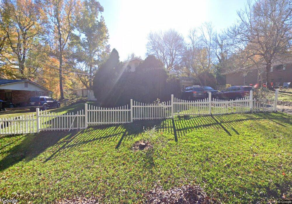
1970 Monaco Dr Columbus, GA 31903
South Columbus NeighborhoodEstimated Value: $122,643 - $131,000
4
Beds
3
Baths
1,831
Sq Ft
$69/Sq Ft
Est. Value
About This Home
This home is located at 1970 Monaco Dr, Columbus, GA 31903 and is currently estimated at $126,411, approximately $69 per square foot. 1970 Monaco Dr is a home located in Muscogee County with nearby schools including Dorothy Height Elementary School, Eddy Middle School, and Spencer High School.
Ownership History
Date
Name
Owned For
Owner Type
Purchase Details
Closed on
Sep 9, 2016
Sold by
Gentry Edgar L
Bought by
King Terry L
Current Estimated Value
Home Financials for this Owner
Home Financials are based on the most recent Mortgage that was taken out on this home.
Original Mortgage
$71,000
Outstanding Balance
$56,749
Interest Rate
3.45%
Estimated Equity
$69,663
Purchase Details
Closed on
Mar 4, 2013
Sold by
Gentry Marilyn Sue
Bought by
Gentry Edgar Lee
Create a Home Valuation Report for This Property
The Home Valuation Report is an in-depth analysis detailing your home's value as well as a comparison with similar homes in the area
Home Values in the Area
Average Home Value in this Area
Purchase History
| Date | Buyer | Sale Price | Title Company |
|---|---|---|---|
| King Terry L | $71,000 | -- | |
| Gentry Edgar Lee | -- | -- |
Source: Public Records
Mortgage History
| Date | Status | Borrower | Loan Amount |
|---|---|---|---|
| Open | King Terry L | $71,000 |
Source: Public Records
Tax History
| Year | Tax Paid | Tax Assessment Tax Assessment Total Assessment is a certain percentage of the fair market value that is determined by local assessors to be the total taxable value of land and additions on the property. | Land | Improvement |
|---|---|---|---|---|
| 2025 | $897 | $45,136 | $4,856 | $40,280 |
| 2024 | $896 | $45,796 | $3,584 | $42,212 |
| 2023 | $207 | $45,796 | $3,584 | $42,212 |
| 2022 | $934 | $37,652 | $3,584 | $34,068 |
| 2021 | $927 | $36,096 | $3,584 | $32,512 |
| 2020 | $927 | $36,096 | $3,584 | $32,512 |
| 2019 | $932 | $36,096 | $3,584 | $32,512 |
| 2018 | $932 | $36,096 | $3,584 | $32,512 |
| 2017 | $1,167 | $28,400 | $2,920 | $25,480 |
| 2016 | $9 | $25,647 | $3,245 | $22,402 |
| 2015 | $4 | $25,647 | $3,245 | $22,402 |
| 2014 | $5 | $25,647 | $3,245 | $22,402 |
| 2013 | -- | $25,647 | $3,245 | $22,402 |
Source: Public Records
Map
Nearby Homes
- 1204 Club House Rd
- 240 Elba Dr
- 2193 Shelby St
- 3909 Commander Dr
- 34 Esquiline Dr
- 15 Lowe Dr
- 3909 Ridgeway Dr
- 1514 Bowman St
- 7 Esquiline Dr
- 4344 Cusseta Rd
- 13 Esquiline Dr
- 4163 Swann St
- 2353 Shelby St
- 20 Patch Dr
- 38 Douglas St
- 13 Patton Dr
- 151 Munson Dr
- 1234 Hanover Ave
- 4512 Lunsford St
- 132 Ticknor Dr
- 1974 Monaco Dr
- 1966 Monaco Dr
- 2121 Milano Dr
- 2117 Milano Dr
- 1978 Monaco Dr
- 1962 Monaco Dr
- 1969 Monaco Dr
- 2125 Milano Dr
- 1973 Monaco Dr
- 1967 Monaco Dr
- 2113 Milano Dr
- 1982 Monaco Dr
- 1963 Monaco Dr
- 1979 Monaco Dr
- 2109 Milano Dr
- 1231 Club House Rd
- 1243 Club House Rd
- 1211 Club House Rd
- 2128 Milano Dr
- 2124 Milano Dr
