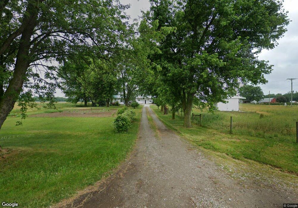
1970 N 250 W Lagrange, IN 46761
Estimated Value: $269,842 - $294,000
2
Beds
1
Bath
1,232
Sq Ft
$232/Sq Ft
Est. Value
About This Home
This home is located at 1970 N 250 W, Lagrange, IN 46761 and is currently estimated at $285,281, approximately $231 per square foot. 1970 N 250 W is a home located in LaGrange County with nearby schools including Meadowview Elementary School, Westview Elementary School, and Westview Junior/Senior High School.
Ownership History
Date
Name
Owned For
Owner Type
Purchase Details
Closed on
Nov 27, 2017
Sold by
Hochstetler Perry E and Hochstetler Leona S
Bought by
Tri & Couty Land Trustee Corp
Current Estimated Value
Purchase Details
Closed on
Feb 10, 2014
Sold by
Andrew E Miller
Bought by
Perry E Hochstetler
Purchase Details
Closed on
Sep 13, 2010
Sold by
Tri County Land Trustee Corp
Bought by
Naomi Andrew E and Naomi Miller
Create a Home Valuation Report for This Property
The Home Valuation Report is an in-depth analysis detailing your home's value as well as a comparison with similar homes in the area
Home Values in the Area
Average Home Value in this Area
Purchase History
| Date | Buyer | Sale Price | Title Company |
|---|---|---|---|
| Tri & Couty Land Trustee Corp | -- | Attorney Only | |
| Perry E Hochstetler | $143,500 | Lakeland Title Company | |
| Naomi Andrew E | $130,000 | Tri County Land Trust | |
| Tri County Land Trustee Corp | $130,000 | Tri County Land Trust |
Source: Public Records
Tax History Compared to Growth
Tax History
| Year | Tax Paid | Tax Assessment Tax Assessment Total Assessment is a certain percentage of the fair market value that is determined by local assessors to be the total taxable value of land and additions on the property. | Land | Improvement |
|---|---|---|---|---|
| 2024 | $1,969 | $177,900 | $38,300 | $139,600 |
| 2023 | $1,964 | $175,400 | $37,000 | $138,400 |
| 2022 | $1,713 | $156,700 | $31,700 | $125,000 |
| 2021 | $701 | $138,000 | $28,600 | $109,400 |
| 2020 | $692 | $135,600 | $28,600 | $107,000 |
| 2019 | $704 | $136,200 | $29,400 | $106,800 |
| 2018 | $605 | $122,900 | $29,500 | $93,400 |
| 2017 | $616 | $125,600 | $29,200 | $96,400 |
| 2016 | $576 | $119,300 | $24,300 | $95,000 |
| 2014 | $515 | $98,900 | $24,600 | $74,300 |
| 2013 | $515 | $100,000 | $24,500 | $75,500 |
Source: Public Records
Map
Nearby Homes
- 1575 W 195 N
- 915 N 015 E
- 0 Corner of Factory St & Townline Rd Unit 202541800
- 217 N Sherman St
- 5145 N 290 W
- 914 S Detroit St
- 2930 N 080 E
- 737 N Canal St
- 207 S Poplar St
- 1895 W 570 N
- 1770 W 570 N
- 306 N 100 E
- 245 E 100 S
- 0 N 100 W
- 125 E Lot 10
- 1375 W 610 N
- 1400 N 200 E
- 403 Williams St
- 3915 N 200 E
- 7260 W 350 N