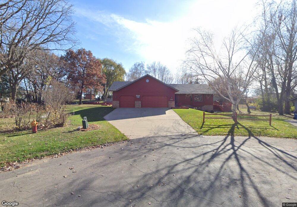
1970 Oak Dr Sauk Rapids, MN 56379
Estimated Value: $373,000 - $427,000
4
Beds
3
Baths
1,642
Sq Ft
$239/Sq Ft
Est. Value
About This Home
This home is located at 1970 Oak Dr, Sauk Rapids, MN 56379 and is currently estimated at $392,428, approximately $238 per square foot. 1970 Oak Dr is a home located in Benton County with nearby schools including Pleasant View Elementary School, Sauk Rapids-Rice Middle School, and Sauk Rapids-Rice Senior High School.
Ownership History
Date
Name
Owned For
Owner Type
Purchase Details
Closed on
Jul 29, 2005
Sold by
Carlson Peter J and Carlson Patricia J
Bought by
Overland Maribeth S and Maron Linda R
Current Estimated Value
Home Financials for this Owner
Home Financials are based on the most recent Mortgage that was taken out on this home.
Original Mortgage
$206,400
Outstanding Balance
$110,022
Interest Rate
5.89%
Mortgage Type
New Conventional
Estimated Equity
$282,406
Create a Home Valuation Report for This Property
The Home Valuation Report is an in-depth analysis detailing your home's value as well as a comparison with similar homes in the area
Home Values in the Area
Average Home Value in this Area
Purchase History
| Date | Buyer | Sale Price | Title Company |
|---|---|---|---|
| Overland Maribeth S | $258,000 | -- |
Source: Public Records
Mortgage History
| Date | Status | Borrower | Loan Amount |
|---|---|---|---|
| Open | Overland Maribeth S | $206,400 |
Source: Public Records
Tax History Compared to Growth
Tax History
| Year | Tax Paid | Tax Assessment Tax Assessment Total Assessment is a certain percentage of the fair market value that is determined by local assessors to be the total taxable value of land and additions on the property. | Land | Improvement |
|---|---|---|---|---|
| 2025 | $4,428 | $374,500 | $37,500 | $337,000 |
| 2024 | $4,600 | $355,600 | $37,500 | $318,100 |
| 2023 | $4,408 | $379,800 | $37,500 | $342,300 |
| 2022 | $4,124 | $334,500 | $34,100 | $300,400 |
| 2021 | $3,766 | $287,400 | $34,100 | $253,300 |
| 2018 | $3,308 | $220,700 | $30,502 | $190,198 |
| 2017 | $3,308 | $204,100 | $30,145 | $173,955 |
| 2016 | $3,238 | $214,400 | $32,700 | $181,700 |
| 2015 | $3,284 | $182,300 | $29,599 | $152,701 |
| 2014 | -- | $175,200 | $29,395 | $145,805 |
| 2013 | -- | $177,400 | $29,462 | $147,938 |
Source: Public Records
Map
Nearby Homes
- 870 18th St NW
- 820 18th St NW
- 390 18th Street Ct NW
- 18th 18th
- 1806 Oak Pond Dr
- 1804 Oak Pond Dr
- 932 Oak Pond Ct
- 1209 Oak Pond Dr
- 1914 N Benton Dr
- 506 Oak Pond Dr
- 2012 N Benton Dr
- 2020 N Benton Dr
- 401 Ridge Rd
- 422 Fieldcrest Ln
- 199 High Dr
- 201 High Dr
- 398 Riverside Ave S
- 111 14th Ave N
- 348 Riverside Ave S
- 113 14th Ave N
- 313 E Highview Ct
- 1976 Oak Dr
- 1975 Oak Dr
- 309 E Highview Ct
- 317 E Highview Ct
- 519 18th St NW
- 529 18th St NW
- 509 18th St NW
- 539 18th St NW
- 305 E Highview Ct
- 497 18th St NW
- 2003 Oak Dr
- 2004 Oak Dr
- 1968 E Highview Dr
- 318 E Highview Ct
- 489 18th St NW
- 1978 E Highview Dr
- 559 18th St NW
- 1962 E Highview Dr
- 314 E Highview Ct