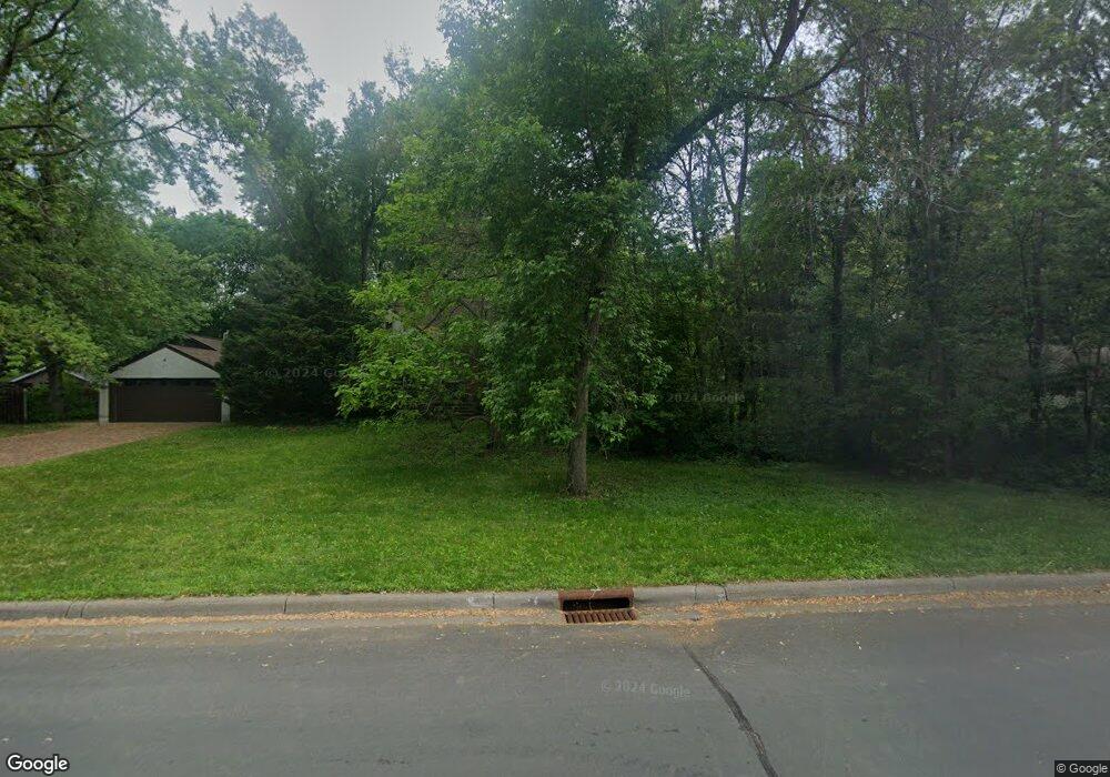
1970 Stowe Ave New Brighton, MN 55112
Estimated Value: $460,000 - $531,062
3
Beds
3
Baths
2,322
Sq Ft
$213/Sq Ft
Est. Value
About This Home
This home is located at 1970 Stowe Ave, New Brighton, MN 55112 and is currently estimated at $495,016, approximately $213 per square foot. 1970 Stowe Ave is a home located in Ramsey County with nearby schools including Valentine Hills Elementary School, Highview Middle School, and Mounds View Senior High School.
Ownership History
Date
Name
Owned For
Owner Type
Purchase Details
Closed on
Feb 12, 2016
Sold by
Goldsmith Leslie C and Polos Lisa A
Bought by
Goldsmith Leslie C and Polos Lisa A
Current Estimated Value
Home Financials for this Owner
Home Financials are based on the most recent Mortgage that was taken out on this home.
Original Mortgage
$175,100
Interest Rate
3.97%
Mortgage Type
New Conventional
Create a Home Valuation Report for This Property
The Home Valuation Report is an in-depth analysis detailing your home's value as well as a comparison with similar homes in the area
Home Values in the Area
Average Home Value in this Area
Purchase History
| Date | Buyer | Sale Price | Title Company |
|---|---|---|---|
| Goldsmith Leslie C | -- | Stewart Title Company |
Source: Public Records
Mortgage History
| Date | Status | Borrower | Loan Amount |
|---|---|---|---|
| Closed | Goldsmith Leslie C | $175,100 |
Source: Public Records
Tax History Compared to Growth
Tax History
| Year | Tax Paid | Tax Assessment Tax Assessment Total Assessment is a certain percentage of the fair market value that is determined by local assessors to be the total taxable value of land and additions on the property. | Land | Improvement |
|---|---|---|---|---|
| 2025 | $5,422 | $506,600 | $157,600 | $349,000 |
| 2023 | $5,422 | $442,300 | $157,600 | $284,700 |
| 2022 | $5,588 | $445,100 | $157,600 | $287,500 |
| 2021 | $5,356 | $409,800 | $157,600 | $252,200 |
| 2020 | $5,592 | $404,400 | $157,600 | $246,800 |
| 2019 | $3,690 | $392,600 | $157,600 | $235,000 |
| 2018 | $3,622 | $282,300 | $157,600 | $124,700 |
| 2017 | $3,480 | $270,200 | $157,600 | $112,600 |
| 2016 | $3,734 | $0 | $0 | $0 |
| 2015 | $3,494 | $275,700 | $157,600 | $118,100 |
| 2014 | $3,190 | $0 | $0 | $0 |
Source: Public Records
Map
Nearby Homes
- 2 New Brighton Rd
- 4 New Brighton Rd
- 1999 Edgewater Ave
- 1960 Glenpaul Ave
- 1932 Glenpaul Ave
- 3 New Brighton Rd
- 1 New Brighton Rd
- 3072 Fairview Ave N
- 950 Cessna Dr
- 1688 Chatham Ave
- 1802 Lydia Ave W
- 519 Continental Dr
- 509 4th Ave NW
- 737 Mccallum Dr
- 545 4th Ave NW
- 2452 County Road D W
- 2446 County Road D W
- 624 1st Ave NW
- 228 16th Ave SW
- 649 Old Highway 8 NW Unit 238
- 1962 Stowe Ave
- 1988 Stowe Ave
- 3319 Katie Ln
- 1990 Stowe Ave
- 1990 1990 Stowe Ave
- 1950 Stowe Ave
- 384 3rd Ave SE
- 3314 Katie Ln
- 385 3rd Ave SE
- 3321 Katie Ln
- 2000 Stowe Ave
- 1995 Stowe Ave
- 371 3rd Ave SE
- 3312 3312 Katie Ln
- 3312 Katie Ln
- 368 3rd Ave SE
- 3323 Katie Ln
- 390 New Brighton Rd
- 2002 Stowe Ave
- 3355 New Brighton Rd