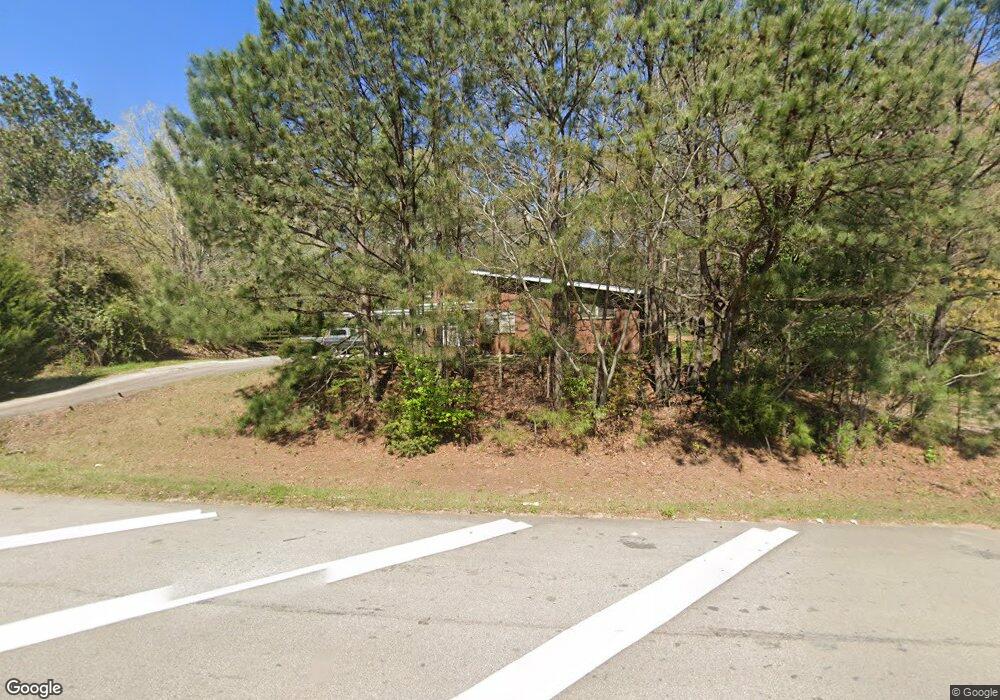
1970 West Point Rd Lagrange, GA 30240
Estimated Value: $258,000 - $459,000
3
Beds
2
Baths
2,266
Sq Ft
$152/Sq Ft
Est. Value
About This Home
This home is located at 1970 West Point Rd, Lagrange, GA 30240 and is currently estimated at $343,346, approximately $151 per square foot. 1970 West Point Rd is a home located in Troup County with nearby schools including Berta Weathersbee Elementary School, Whitesville Road Elementary School, and Long Cane Elementary School.
Ownership History
Date
Name
Owned For
Owner Type
Purchase Details
Closed on
May 18, 1994
Bought by
Huff Kathy R Colley
Current Estimated Value
Purchase Details
Closed on
Jan 2, 1986
Purchase Details
Closed on
Dec 1, 1985
Purchase Details
Closed on
Jan 1, 1959
Create a Home Valuation Report for This Property
The Home Valuation Report is an in-depth analysis detailing your home's value as well as a comparison with similar homes in the area
Home Values in the Area
Average Home Value in this Area
Purchase History
| Date | Buyer | Sale Price | Title Company |
|---|---|---|---|
| Huff Kathy R Colley | -- | -- | |
| -- | $60,000 | -- | |
| -- | -- | -- | |
| -- | -- | -- |
Source: Public Records
Tax History Compared to Growth
Tax History
| Year | Tax Paid | Tax Assessment Tax Assessment Total Assessment is a certain percentage of the fair market value that is determined by local assessors to be the total taxable value of land and additions on the property. | Land | Improvement |
|---|---|---|---|---|
| 2024 | $3,175 | $116,416 | $72,440 | $43,976 |
| 2023 | $3,175 | $116,408 | $72,440 | $43,968 |
| 2022 | $3,188 | $114,208 | $72,440 | $41,768 |
| 2021 | $2,935 | $97,300 | $69,000 | $28,300 |
| 2020 | $2,935 | $97,300 | $69,000 | $28,300 |
| 2019 | $2,944 | $97,620 | $69,000 | $28,620 |
| 2018 | $2,865 | $95,012 | $69,000 | $26,012 |
| 2017 | $2,866 | $95,012 | $69,000 | $26,012 |
| 2016 | $2,829 | $93,806 | $69,000 | $24,806 |
| 2015 | $2,837 | $93,908 | $69,000 | $24,908 |
| 2014 | $2,842 | $93,908 | $69,000 | $24,908 |
| 2013 | -- | $93,908 | $69,000 | $24,908 |
Source: Public Records
Map
Nearby Homes
- 0 Unit 10514554
- 141 Avery Dr
- 212 Aster Way
- 101 Crown St Unit LOT 5
- 102 Crown St Unit LOT 1
- 802 Monroe St
- The Rhodes Plan at Crown Street Cottages
- The Truitt Plan at Crown Street Cottages
- The Callaway Plan at Crown Street Cottages
- 167 S Kight Dr
- 205 Grady St
- 608 Wilburn Ave
- 610 Wilburn Ave
- 107 Clark St
- 211 Moores Hill
- 0 Moores Hill
- 119 Jones St
- 202 Parker Ln
- 102 Parker St
- 109 Garfield St
- 2002 W Point Rd
- 18 New Airport Rd
- 2005 West Point Rd
- 42 Terrace Dr
- 0 W Point Rd Unit 8338854
- 0 W Point Rd Unit 3 7418291
- 0 W Point Rd Unit 2 7418289
- 0 W Point Rd Unit 2&3 7418283
- 0 W Point Rd
- 0 W Point Rd Unit 24226665
- 0 W Point Rd Unit 10291679
- 0 W Point Rd Unit 11270606
- 0 W Point Rd Unit 20108449
- 0 W Point Rd Unit 20065487
- 0 W Point Rd Unit 8007201
- 0 W Point Rd Unit 7462576
- 0 W Point Rd Unit 7369267
- 0 W Point Rd Unit 7122541
- 0 W Point Rd Unit 2643605
- 0 W Point Rd Unit 3185974