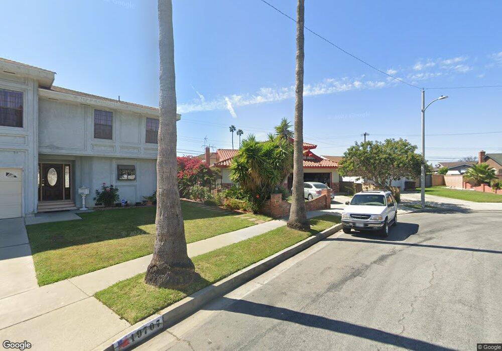
19701 Reinhart Ave Carson, CA 90746
Estimated Value: $918,000 - $1,040,000
About This Home
This home is located at 19701 Reinhart Ave, Carson, CA 90746 and is currently estimated at $964,412, approximately $443 per square foot. 19701 Reinhart Ave is a home located in Los Angeles County with nearby schools including Leapwood Avenue Elementary School, Glenn Hammond Curtiss Middle School, and Rancho Dominguez Preparatory School.
Ownership History
We collect this data history from publicly available records. To have your information removed, we recommend requesting removal directly through your county’s website.
Purchase Details
Home Financials for this Owner
Home Financials are based on the most recent Mortgage that was taken out on this home.Purchase Details
Home Values in the Area
Average Home Value in this Area
Purchase History
We collect this data history from publicly available records. To have your information removed, we recommend requesting removal directly through your county’s website.
| Date | Buyer | Sale Price | Title Company |
|---|---|---|---|
| -- | Mfi Title | ||
| -- | Commonwealth Land Title Co | ||
| -- | Chicago Title |
Mortgage History
We collect this data history from publicly available records. To have your information removed, we recommend requesting removal directly through your county’s website.
| Date | Status | Borrower | Loan Amount |
|---|---|---|---|
| Closed | $159,000 |
Tax History
We collect this data history from publicly available records. To have your information removed, we recommend requesting removal directly through your county’s website.
| Year | Tax Paid | Tax Assessment Tax Assessment Total Assessment is a certain percentage of the fair market value that is determined by local assessors to be the total taxable value of land and additions on the property. | Land | Improvement |
|---|---|---|---|---|
| 2025 | $1,948 | $77,394 | $17,610 | $59,784 |
| 2024 | $1,723 | $75,877 | $17,265 | $58,612 |
| 2023 | $1,626 | $74,390 | $16,927 | $57,463 |
| 2022 | $1,560 | $72,933 | $16,596 | $56,337 |
| 2021 | $1,530 | $71,504 | $16,271 | $55,233 |
| 2019 | $1,474 | $69,386 | $15,790 | $53,596 |
| 2018 | $1,384 | $68,027 | $15,481 | $52,546 |
| 2016 | $1,295 | $65,387 | $14,881 | $50,506 |
| 2015 | $1,263 | $64,406 | $14,658 | $49,748 |
| 2014 | $1,261 | $63,145 | $14,371 | $48,774 |
Map
- 664 E Elsmere Dr
- 19742 Wadley Ave
- 19421 Leapwood Ave
- 19603 Enslow Dr
- 19402 Enslow Dr
- 19202 Campaign Dr
- 809 E Cyrene St
- 19506 Belshaw Ave
- 19426 Belshaw Ave
- 994 E Gladwick St
- 20019 Belshaw Ave
- 19209 Caney Ave
- 20222 Belshaw Ave
- 1221 E Denwall Dr
- 17879 Upton
- 17700 Avalon Blvd Unit 40
- 803 E Victoria St Unit 138
- 900 E Sagebank St
- 19112 Hillford Ave
- 17815 Lysander Dr
- 601 E Holborn Dr
- 19707 Reinhart Ave
- 19614 Dunbrooke Ave
- 19620 Dunbrooke Ave
- 607 E Holborn Dr
- 19608 Dunbrooke Ave
- 19702 Dunbrooke Ave
- 19713 Reinhart Ave
- 628 E Elsmere Dr
- 19704 Reinhart Ave
- 19602 Dunbrooke Ave
- 613 E Holborn Dr
- 19708 Dunbrooke Ave
- 634 E Elsmere Dr
- 19719 Reinhart Ave
- 19710 Reinhart Ave
- 638 E Elsmere Dr
- 19716 Reinhart Ave
- 19714 Dunbrooke Ave
- 617 E Holborn Dr
Ask me questions while you tour the home.