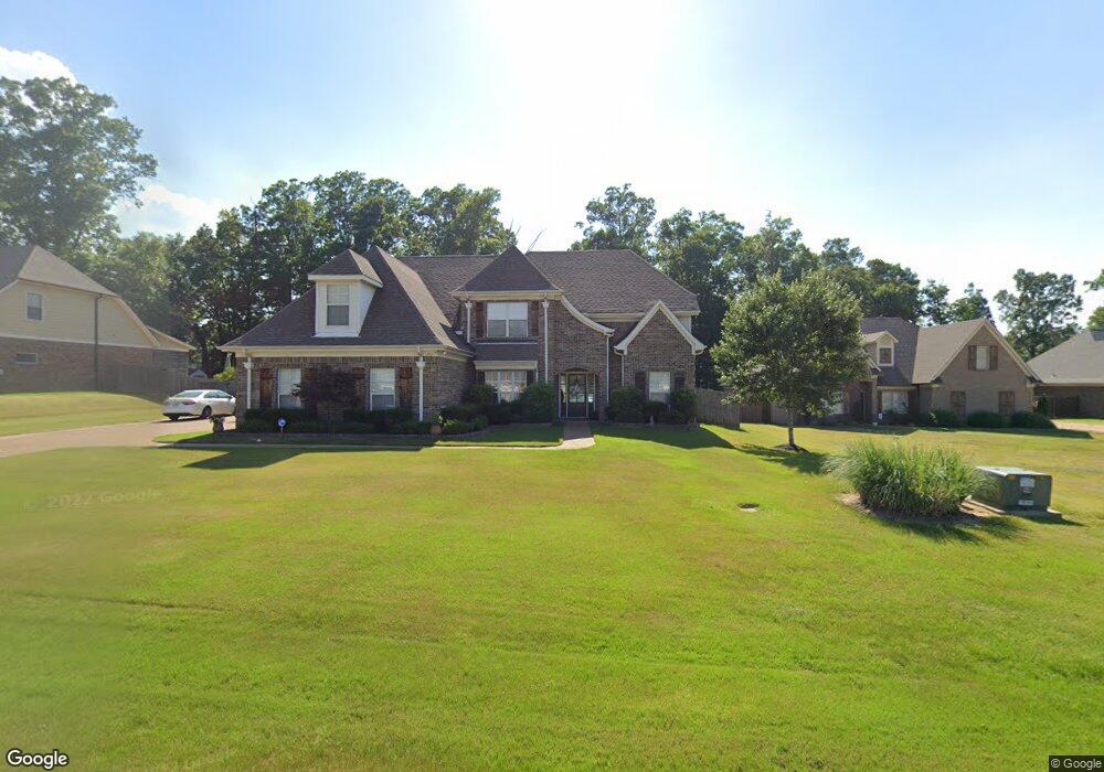
1971 Oak Bridge Rd N Hernando, MS 38632
Estimated Value: $412,000 - $554,000
6
Beds
4
Baths
3,750
Sq Ft
$127/Sq Ft
Est. Value
About This Home
This home is located at 1971 Oak Bridge Rd N, Hernando, MS 38632 and is currently estimated at $474,774, approximately $126 per square foot. 1971 Oak Bridge Rd N is a home located in DeSoto County with nearby schools including Oak Grove Central Elementary School, Hernando Hills Elementary, and Hernando Elementary School.
Ownership History
Date
Name
Owned For
Owner Type
Purchase Details
Closed on
Oct 29, 2010
Sold by
Jordan Jason S
Bought by
Page Mark C and Page Vicki
Current Estimated Value
Home Financials for this Owner
Home Financials are based on the most recent Mortgage that was taken out on this home.
Original Mortgage
$269,100
Outstanding Balance
$176,455
Interest Rate
4.38%
Mortgage Type
New Conventional
Estimated Equity
$298,319
Purchase Details
Closed on
May 6, 2009
Sold by
Royal Construction Llc
Bought by
Jordan Jason S and Jordan Shilo A
Home Financials for this Owner
Home Financials are based on the most recent Mortgage that was taken out on this home.
Original Mortgage
$249,900
Interest Rate
4.79%
Mortgage Type
Purchase Money Mortgage
Purchase Details
Closed on
Aug 29, 2007
Sold by
Anderson Steve
Bought by
Royal Construction Llc
Create a Home Valuation Report for This Property
The Home Valuation Report is an in-depth analysis detailing your home's value as well as a comparison with similar homes in the area
Home Values in the Area
Average Home Value in this Area
Purchase History
| Date | Buyer | Sale Price | Title Company |
|---|---|---|---|
| Page Mark C | -- | None Available | |
| Jordan Jason S | -- | None Available | |
| Royal Construction Llc | -- | None Available |
Source: Public Records
Mortgage History
| Date | Status | Borrower | Loan Amount |
|---|---|---|---|
| Open | Page Mark C | $269,100 | |
| Previous Owner | Jordan Jason S | $249,900 |
Source: Public Records
Tax History
| Year | Tax Paid | Tax Assessment Tax Assessment Total Assessment is a certain percentage of the fair market value that is determined by local assessors to be the total taxable value of land and additions on the property. | Land | Improvement |
|---|---|---|---|---|
| 2025 | $3,599 | $33,384 | $3,500 | $29,884 |
| 2024 | $3,063 | $24,165 | $3,500 | $20,665 |
| 2023 | $3,063 | $24,165 | $0 | $0 |
| 2022 | $3,063 | $24,165 | $3,500 | $20,665 |
| 2021 | $3,063 | $24,165 | $3,500 | $20,665 |
| 2020 | $2,844 | $22,588 | $3,500 | $19,088 |
| 2019 | $2,844 | $22,588 | $3,500 | $19,088 |
| 2017 | $2,868 | $41,796 | $22,648 | $19,148 |
| 2016 | $2,736 | $22,648 | $3,500 | $19,148 |
| 2015 | $3,026 | $41,796 | $22,648 | $19,148 |
| 2014 | $2,664 | $22,648 | $0 | $0 |
| 2013 | $2,664 | $22,648 | $0 | $0 |
Source: Public Records
Map
Nearby Homes
- 1884 Keenlan Dr W
- 1742 Keenlan Dr W
- 1735 Keenlan Dr
- 1785 Cashion Cove
- 1916 Trapper Dr
- 1265 Courtlynn Dr
- 1593 Banbury Ln
- 1245 Thousand Oaks Dr
- 1657 Carlee Dr
- 1245 Courtlynn Dr
- 1795 Single Tree Dr
- 1215 Courtlynn Dr
- 1520 Notting Hill Cove W
- 1261 Heritage Lake Dr
- 1586 Carlee Dr
- 0 Jaybird Rd Unit 26750156
- 1377 Notting Hill Loop
- 1335 Creekside Blvd
- 925 Cedar Grove Pkwy
- 2382 Oak Creek Dr
- 1971 Oakbridge Rd N
- 1989 Oak Bridge Rd N
- 1989 Oakbridge Rd N
- 1963 Keenlan Dr W
- 1599 Keenlan Dr
- 1599 Keenlan Dr Unit L 132
- 1940 Keenlan Dr W
- 1942 W Keenlan Dr Unit L 126
- 1942 W Keenlan Dr
- 1933 Keenlan Dr W
- 1617 Keenlan Dr
- 1920 Keenlan Dr W
- 1610 Keenlan Dr
- 1610 Keenlan Dr Unit L 115
- 1915 Keenlan Dr W
- 1914 W Keenlan Dr Unit L 125
- 1510 Thousand Oaks Dr
- 1480 Thousand Oaks Dr
- 1637 Keenlan Dr
- 1900 Keenlan Dr W
Your Personal Tour Guide
Ask me questions while you tour the home.